MyTopo
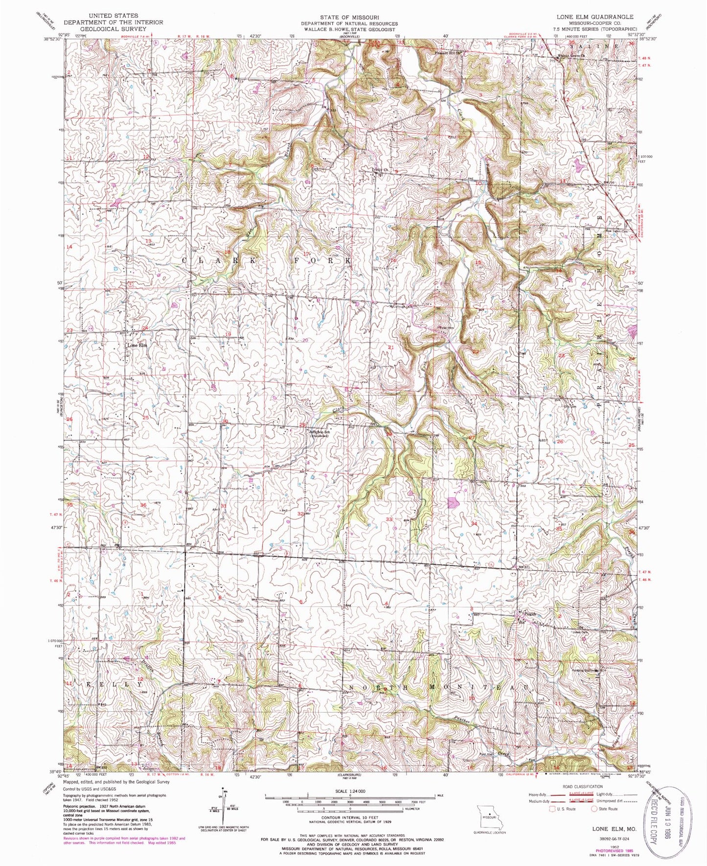
Classic USGS Lone Elm Missouri 7.5'x7.5' Topo Map
Couldn't load pickup availability
Historical USGS topographic quad map of Lone Elm in the state of Missouri. Map scale may vary for some years, but is generally around 1:24,000. Print size is approximately 24" x 27"
This quadrangle is in the following counties: Cooper.
The map contains contour lines, roads, rivers, towns, and lakes. Printed on high-quality waterproof paper with UV fade-resistant inks, and shipped rolled.
Contains the following named places: Davis School, Ellis Cemetery, Ellis School, Jefferson School, Jones Cemetery, Lee School, Lenz Lake Dam, Lone Elm, Lone Grove School, McCullough Cemetery, New Salem Cemetery, Panther Creek, Pisgah, Pisgah School, Pleasant Hill Church, Salemen School, Toler Cemetery, Township of Clark Fork, Township of North Moniteau, Trinity Church, Walnut Grove Church, Washington School