MyTopo
Classic USGS Lone Haystack Mountain Wyoming 7.5'x7.5' Topo Map
Regular price
$16.95
Regular price
Sale price
$16.95
Unit price
per
Couldn't load pickup availability
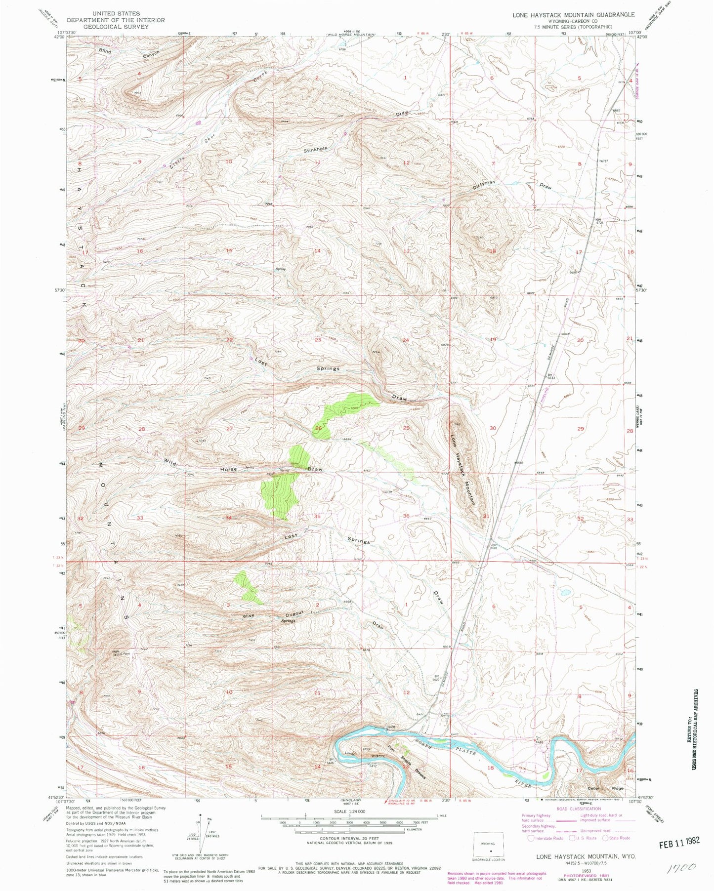
Historical USGS topographic quad map of Lone Haystack Mountain in the state of Wyoming. Map scale may vary for some years, but is generally around 1:24,000. Print size is approximately 24" x 27"
This quadrangle is in the following counties: Carbon.
The map contains contour lines, roads, rivers, towns, and lakes. Printed on high-quality waterproof paper with UV fade-resistant inks, and shipped rolled.
Contains the following named places: Haystack Mountains, Lone Haystack Mountain, Lost Springs Draw, Lower Dugway, Miller Pit, Miller Prospect, Miller Prospect Mine, Wild Horse Draw, Wise Dugout Draw, ZIP Code: 82334