MyTopo
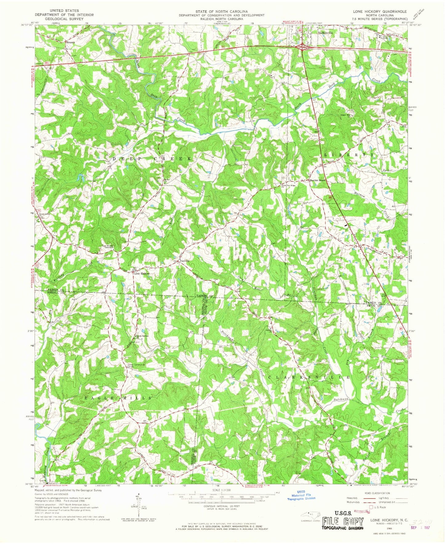
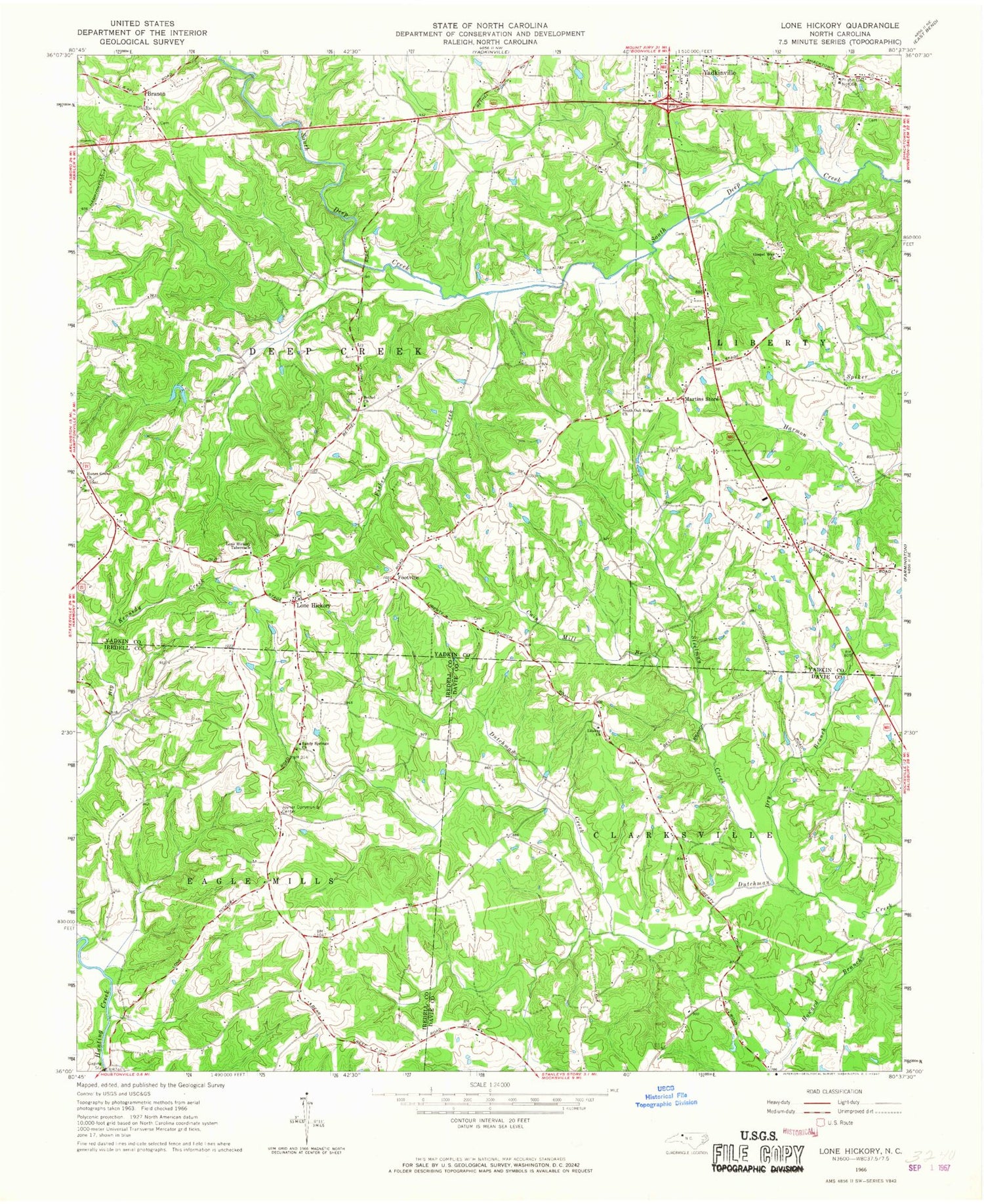
Classic USGS Lone Hickory North Carolina 7.5'x7.5' Topo Map
Couldn't load pickup availability
Historical USGS topographic quad map of Lone Hickory in the state of North Carolina. Map scale may vary for some years, but is generally around 1:24,000. Print size is approximately 24" x 27"
This quadrangle is in the following counties: Davie, Iredell, Yadkin.
The map contains contour lines, roads, rivers, towns, and lakes. Printed on high-quality waterproof paper with UV fade-resistant inks, and shipped rolled.
Contains the following named places: Bethel Baptist Church, Bethel Baptist Church Cemetery, Big Kennedy Creek, Branon, Branon Friends Church, Branon Friends Meeting Cemetery, Cain Mill Branch, Clarksville Pentecostal Holiness, Clarksville Post Office, Cooks School, Double Oak School, Dry Branch, Dutchman Creek W/S Number Five, Dutchman Creek W/S Number Two, Dutchman Creek W/S Structure Number Five Dam, Dutchman Creek W/S Structure Number Two Dam, Felix Post Office, Fisher Creek, Footville, Gospel Way Baptist Church, Gospel Way Cemetery, Hanes Grove Methodist Church, Hanes Grove Methodist Church Cemetery, Haubers Mill, Howard Branch, James Dobbins Lake, James Dobbins Lake Dam, Joyner Community Center, Joyner School, Kennedy Creek, Leslie Chamberlain Lake, Leslie Chamberlain Lake Dam, Liberty Baptist Church, Lone Hickory, Lone Hickory Airport, Lone Hickory Tabernacle, Lone Hickory Volunteer Fire Department, Martins Store, Piney Ridge Airport, Prison Unit Number 068, Sandy Springs Baptist Church, Sandy Springs Cemetery, South Oak Ridge Baptist Church, South Oak Ridge Cemetery, Steelman Creek, Thad Carlton Lake, Thad Carlton Lake Dam, Todd Pond, Todd Pond Dam, Township of Clarksville, Township of Deep Creek, Vestal Mill, Vestal School, William Arnold Lake, William Arnold Lake Dam, Yadkin County Home, Yadkin Recreation Park Lake, Yadkin Recreation Park Lake Dam, ZIP Code: 27055


