MyTopo
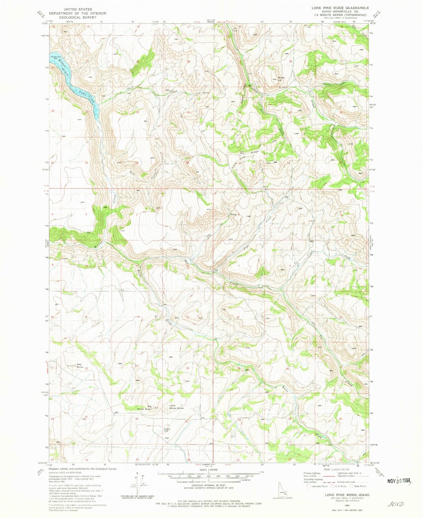
Classic USGS Lone Pine Ridge Idaho 7.5'x7.5' Topo Map
Couldn't load pickup availability
Historical USGS topographic quad map of Lone Pine Ridge in the state of Idaho. Map scale may vary for some years, but is generally around 1:24,000. Print size is approximately 24" x 27"
This quadrangle is in the following counties: Bonneville.
The map contains contour lines, roads, rivers, towns, and lakes. Printed on high-quality waterproof paper with UV fade-resistant inks, and shipped rolled.
Contains the following named places: Bear Creek, Big Horse Butte, Blue Creek, Bulls Fork, Deer Creek, Dehlin, Dehlin Post Office, Dehlin School, Dogtooth Hollow, Guyaz, Indian Fork, Little Horse Butte, Lone Pine Ridge, Pipe Creek, Pipe Creek School, Red Butte, Skelly Hill, Spring Creek, Tex Creek, Tex Creek Wildlife Management Area