
MyTopo
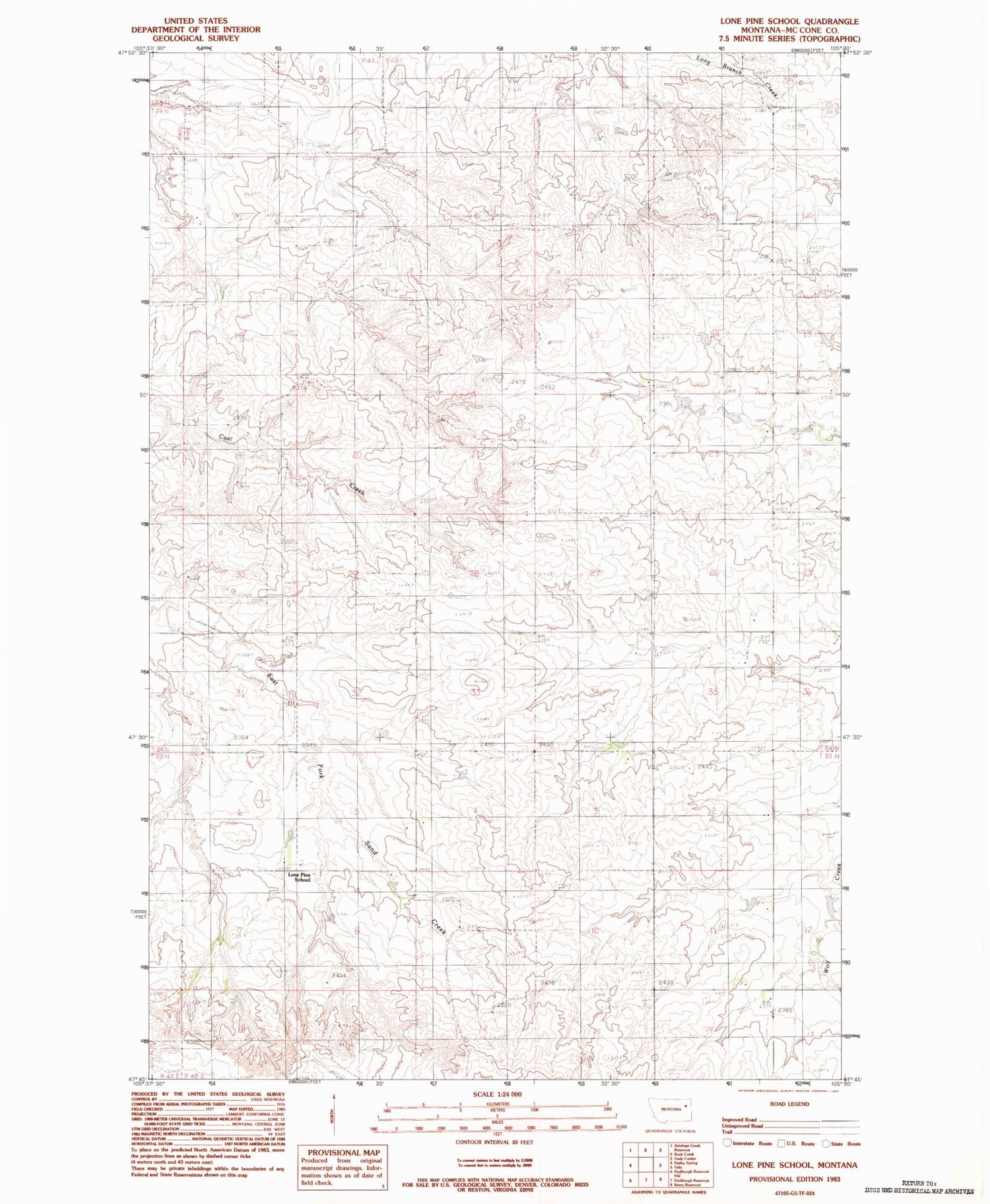
Classic USGS Lone Pine School Montana 7.5'x7.5' Topo Map
Regular price
$16.95
Regular price
Sale price
$16.95
Unit price
per
Couldn't load pickup availability
Historical USGS topographic quad map of Lone Pine School in the state of Montana. Map scale may vary for some years, but is generally around 1:24,000. Print size is approximately 24" x 27"
This quadrangle is in the following counties: McCone.
The map contains contour lines, roads, rivers, towns, and lakes. Printed on high-quality waterproof paper with UV fade-resistant inks, and shipped rolled.
Contains the following named places: 16N49E07ADCA01 Well, 23N48E15AAAC01 Well, 24N48E17BBAB01 Well, 24N48E24BCBC01 Well, 25N48E34CCBA01 Well, Eugene S Number 1 Dam, Holy Eucharist Cemetery, Kwasney Dam, Lone Pine School


