MyTopo
Classic USGS Lone Pine California 7.5'x7.5' Topo Map
Couldn't load pickup availability
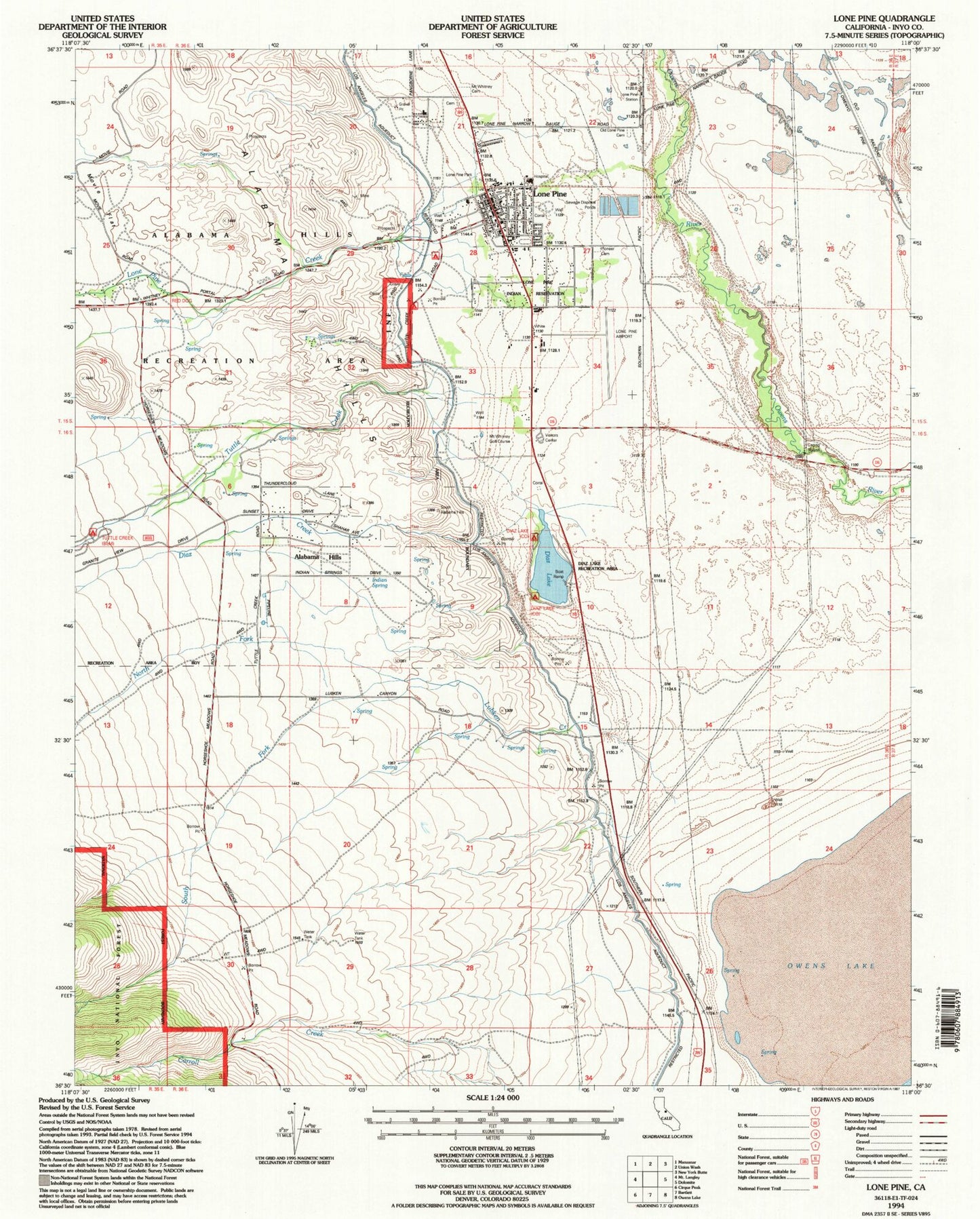
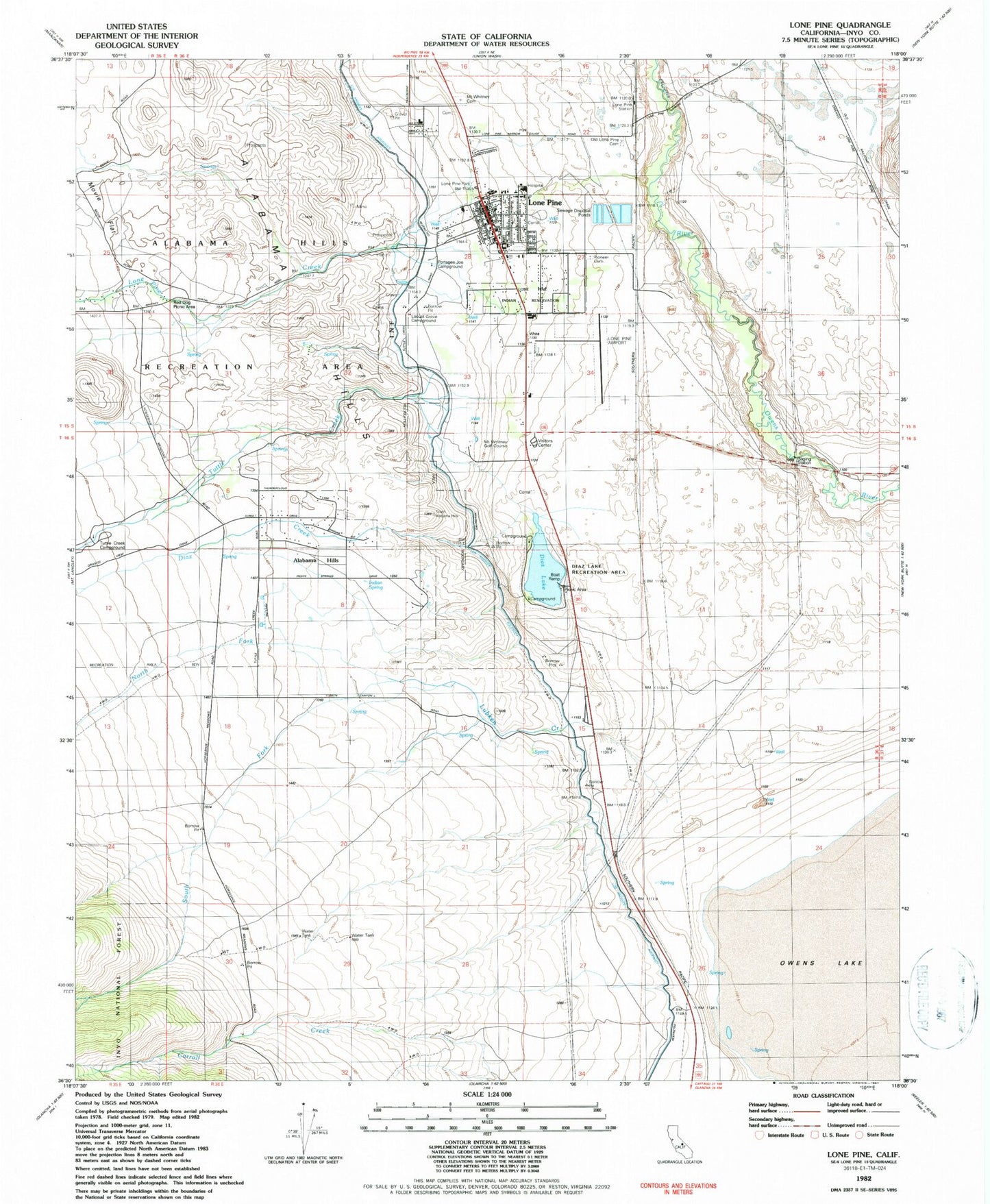
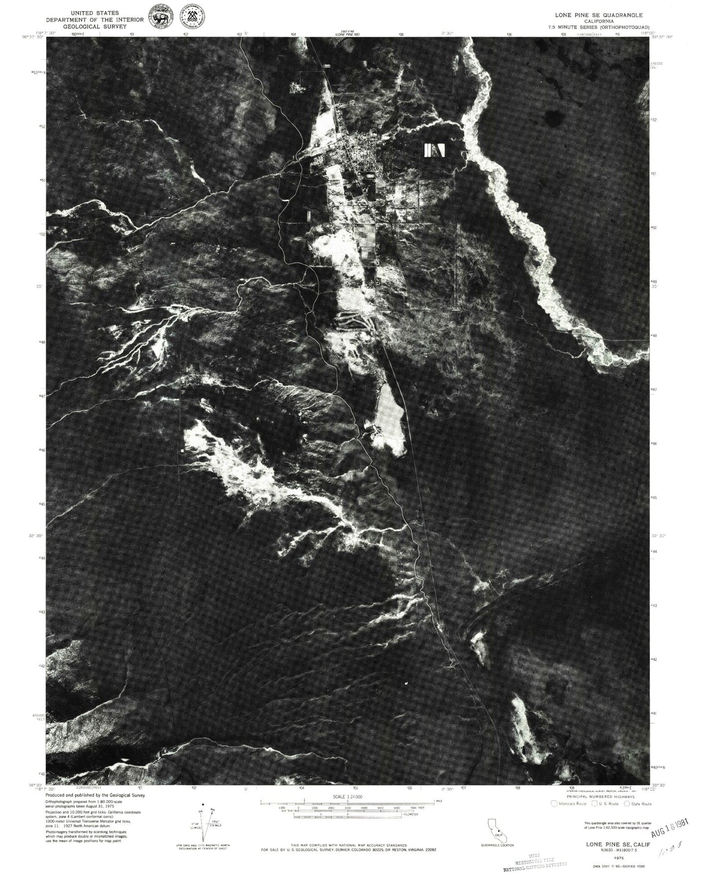
Historical USGS topographic quad map of Lone Pine in the state of California. Typical map scale is 1:24,000, but may vary for certain years, if available. Print size: 24" x 27"
This quadrangle is in the following counties: Inyo.
The map contains contour lines, roads, rivers, towns, and lakes. Printed on high-quality waterproof paper with UV fade-resistant inks, and shipped rolled.
Contains the following named places: Diaz Creek, Diaz Lake, Lone Pine Creek, Lone Pine Station, Lubken Creek, Movie Flat, North Fork Lubken Creek, South Fork Lubken Creek, Tuttle Creek, Red Dog Picnic Area, Locust Grove Campground, Pioneer Cemetery, Lone Pine Reservation, Mount Whitney Golf Course, Diaz Lake Campground, Lone Pine Park, Old Lone Pine Cemetery, Portagee Joe Campground, Mount Whitney Cemetery, Indian Spring, Diaz Lake Recreation Area, Diaz Lake Campground, Lone Pine, Lone Pine/Death Valley Airport, Alabama Hills, The Church of Jesus Christ of Latter Day Saints, Church of the Nazarene, Eastern Sierra Interagency Visitor Center, Lo-inyo Elementary School, Lone Pine Adult School, Lone Pine High School, Mount Whitney Baptist Church, Santa Rosa Catholic Church, Seventh Day Adventist Church, Southern Inyo Hospital, Trinity Episcopal Church, Lone Pine Census Designated Place, Lone Pine Fire Protection District Station 1 Headquarters, Lone Pine Ranger Station, Mount Whitney Ranger Station, Lone Pine Fire Protection District Station 2, Inyo County Sheriff's Office Substation Lone Pine, Lone Pine Post Office, Grave of 1872 Earthquake Victims, Diaz Creek, Diaz Lake, Lone Pine Creek, Lone Pine Station, Lubken Creek, Movie Flat, North Fork Lubken Creek, South Fork Lubken Creek, Tuttle Creek, Red Dog Picnic Area, Locust Grove Campground, Pioneer Cemetery, Lone Pine Reservation, Mount Whitney Golf Course, Diaz Lake Campground, Lone Pine Park, Old Lone Pine Cemetery, Portagee Joe Campground, Mount Whitney Cemetery, Indian Spring, Diaz Lake Recreation Area, Diaz Lake Campground, Lone Pine, Lone Pine/Death Valley Airport, Alabama Hills, The Church of Jesus Christ of Latter Day Saints, Church of the Nazarene, Eastern Sierra Interagency Visitor Center, Lo-inyo Elementary School, Lone Pine Adult School, Lone Pine High School, Mount Whitney Baptist Church, Santa Rosa Catholic Church, Seventh Day Adventist Church, Southern Inyo Hospital, Trinity Episcopal Church, Lone Pine Census Designated Place, Lone Pine Fire Protection District Station 1 Headquarters, Lone Pine Ranger Station, Mount Whitney Ranger Station, Lone Pine Fire Protection District Station 2, Inyo County Sheriff's Office Substation Lone Pine, Lone Pine Post Office, Grave of 1872 Earthquake Victims


