MyTopo
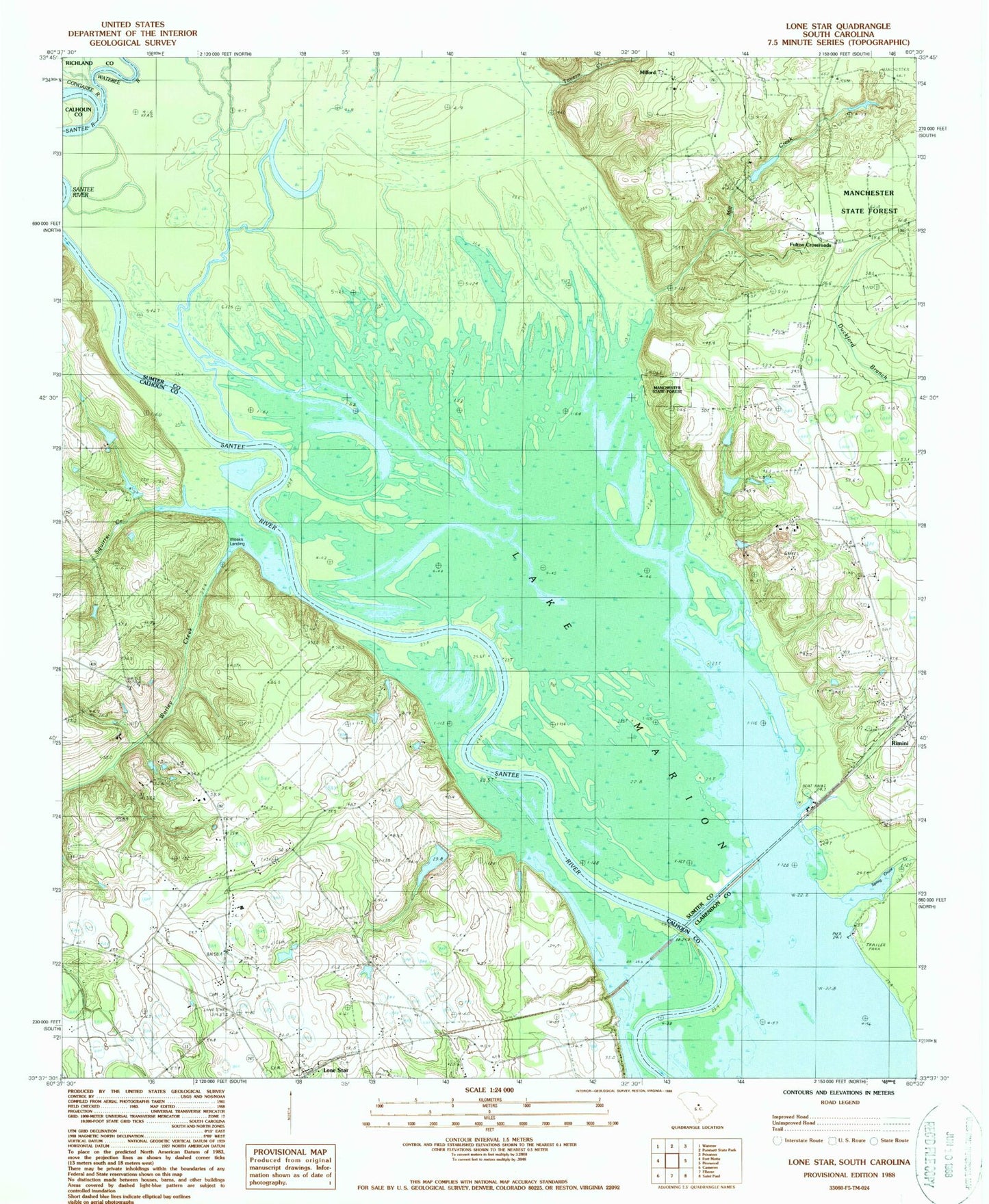
Classic USGS Lone Star South Carolina 7.5'x7.5' Topo Map
Couldn't load pickup availability
Historical USGS topographic quad map of Lone Star in the state of South Carolina. Typical map scale is 1:24,000, but may vary for certain years, if available. Print size: 24" x 27"
This quadrangle is in the following counties: Calhoun, Clarendon, Richland, Sumter.
The map contains contour lines, roads, rivers, towns, and lakes. Printed on high-quality waterproof paper with UV fade-resistant inks, and shipped rolled.
Contains the following named places: Broughton Millpond (historical), Fulton School, Haynes Chapel, Lone Star, Mill Creek, New Zion Church, Old Zion Church, Pine Grove Church, Pine Grove School, Poinsett State Forest, Saint Mark Church, Santee Cooper Reservation, Tavern Creek, Weeks Landing, Low Falls Landing, Elliots Landing, Mill Creek Pond Park Dam D-2066, Mill Creek Park Pond, Culp Pond Dam D-2077, Culp Pond, Touchberry Lower Pond Dam D-1586, Touchberry Lower Pond, Gadden Pond Dam D-2656, Gadden Pond, Way Pond Dam D-2657, Way Pond, Fairy School (historical), Mac Boykin YMCA Camp, Antioch Church, Milford, Fulton Crossroads, Wateree River, Congaree River, Rimini, Saint Marks Church, Spring Grove Creek, Squirrel Creek, Warley Creek, Fort Motte Fire Department Lone Star Station


