MyTopo
Classic USGS Lone Tree Lake Montana 7.5'x7.5' Topo Map
Couldn't load pickup availability
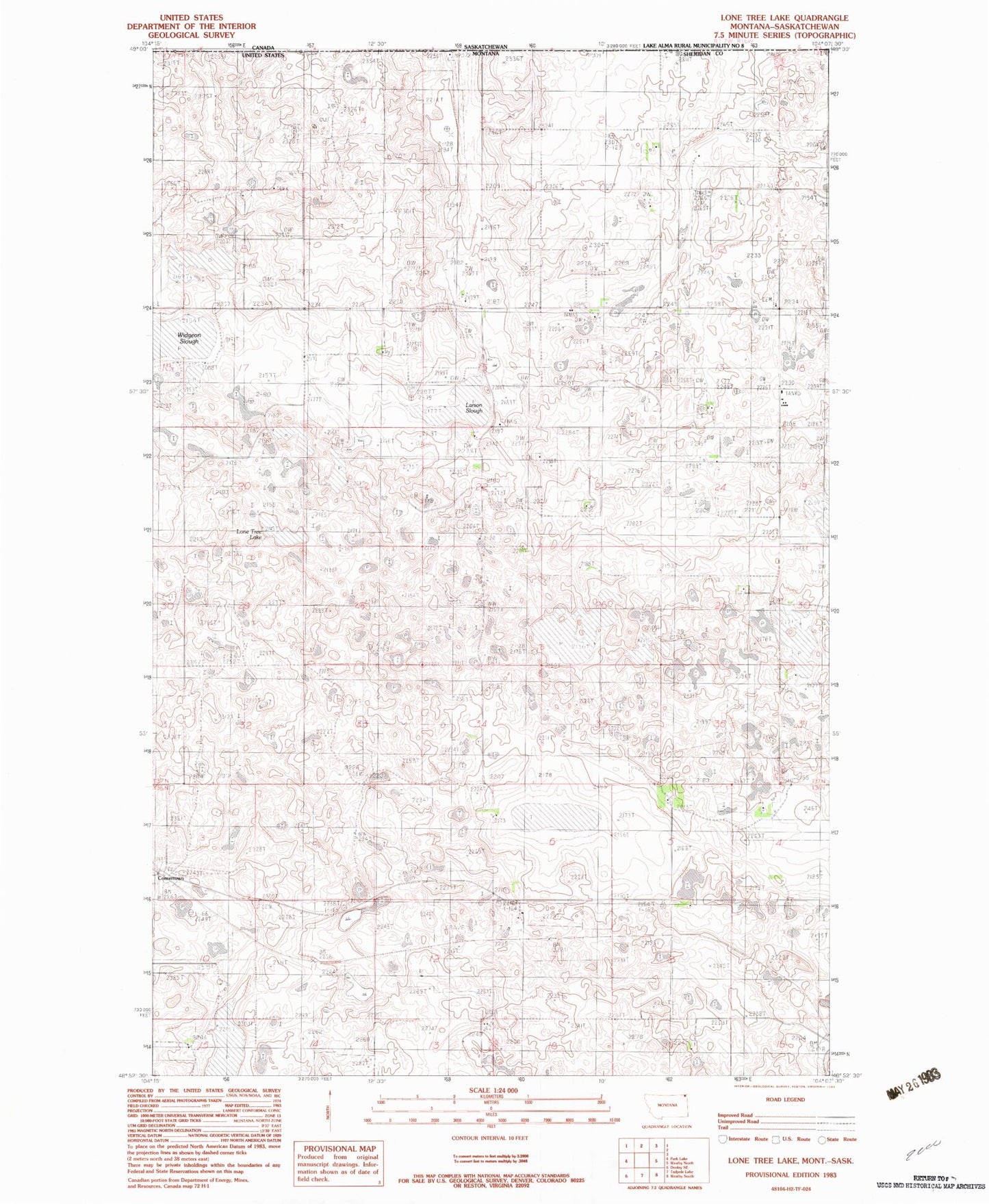
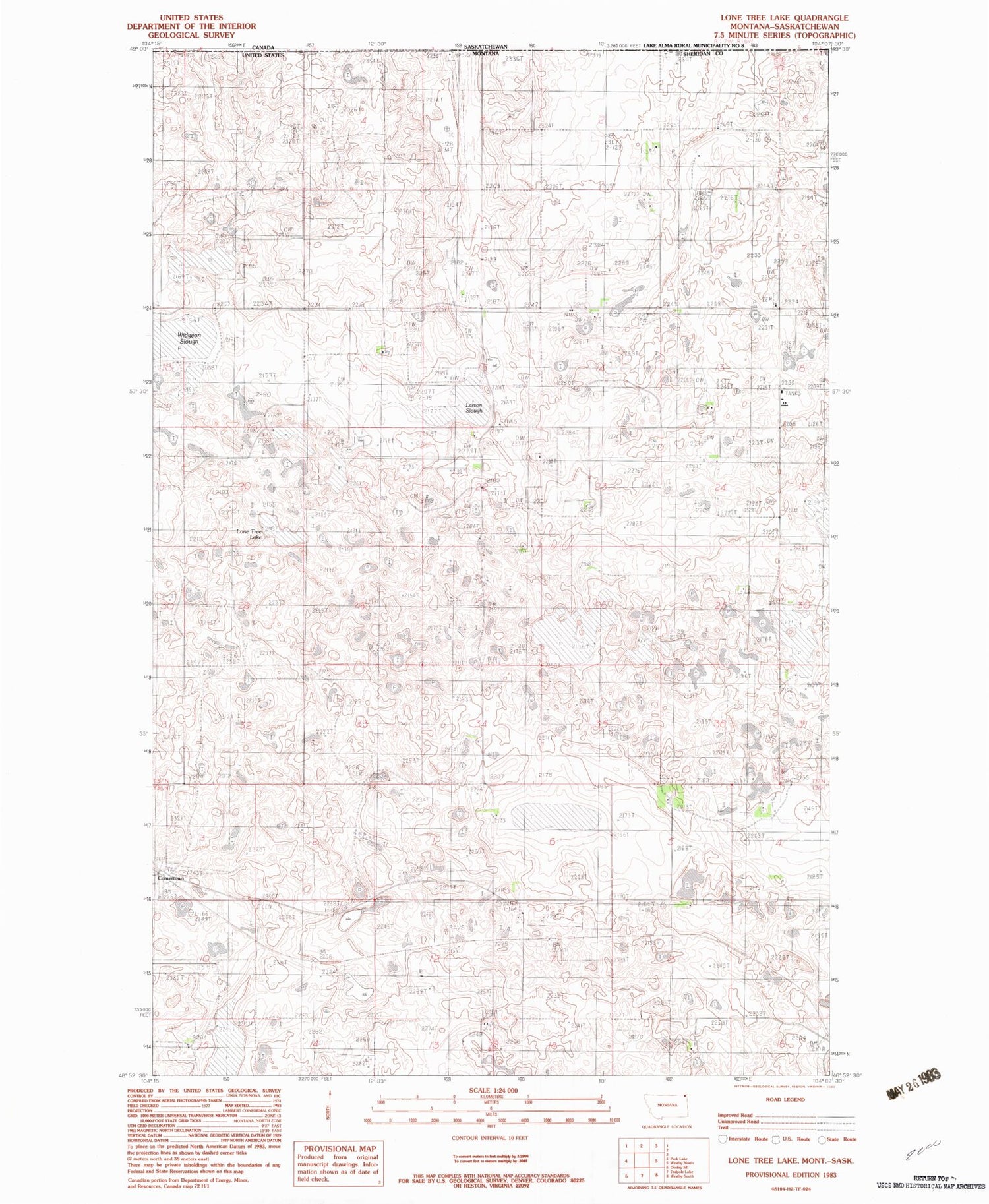
Historical USGS topographic quad map of Lone Tree Lake in the state of Montana. Map scale may vary for some years, but is generally around 1:24,000. Print size is approximately 24" x 27"
This quadrangle is in the following counties: Sheridan.
The map contains contour lines, roads, rivers, towns, and lakes. Printed on high-quality waterproof paper with UV fade-resistant inks, and shipped rolled.
Contains the following named places: 36N57E07BDBA01 Well, 37N57E08BAAA01 Well, 37N58E18CBCC01 Well, Comertown, Comertown Cemetery, Comertown Post Office, Lakeside School, Larson Slough, Lone Tree Cemetery, Lone Tree Lake, Lone Tree Lutheran Church, Our Saviors Cemetery, Our Saviors Lutheran Church, Pleasant Valley Lutheran, Reed Number 1 Dam, Ueland School, Widgeon Slough