MyTopo
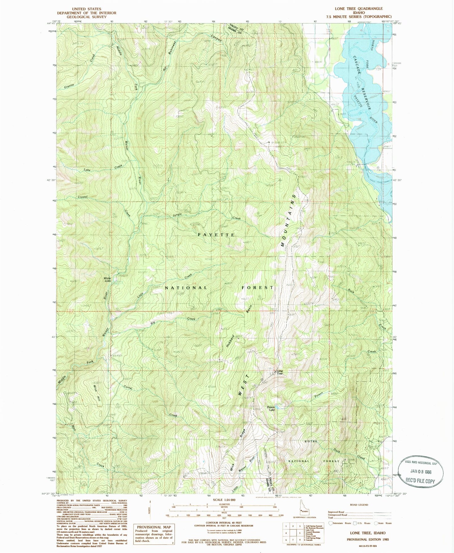
Classic USGS Lone Tree Idaho 7.5'x7.5' Topo Map
Couldn't load pickup availability
Historical USGS topographic quad map of Lone Tree in the state of Idaho. Map scale may vary for some years, but is generally around 1:24,000. Print size is approximately 24" x 27"
This quadrangle is in the following counties: Adams, Valley.
The map contains contour lines, roads, rivers, towns, and lakes. Printed on high-quality waterproof paper with UV fade-resistant inks, and shipped rolled.
Contains the following named places: Amanita Campground, Arling Trail, Big Creek, Corral Creek, Corral Creek Guard Station, Crystal Creek, Donnelly Trail, Granite Creek, Hubbard Basin, Jungle Creek, Jungle Creek Trail, Lake Creek, Little Creek, Little Weiser Trail, Lone Tree, Mica Hill, Mica Ridge, No Business Canyon, Poison Lake, Rainbow Point Campground, White Licks