MyTopo
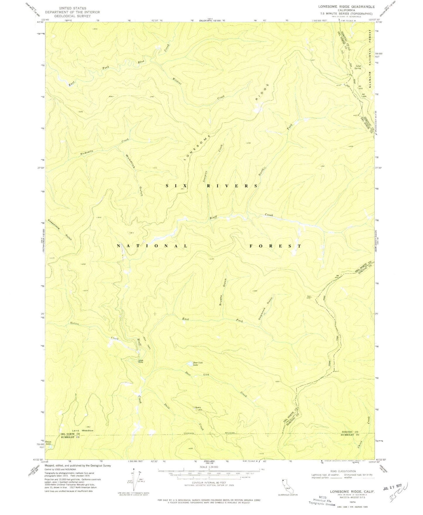
Classic USGS Lonesome Ridge California 7.5'x7.5' Topo Map
Couldn't load pickup availability
Historical USGS topographic quad map of Lonesome Ridge in the state of California. Map scale may vary for some years, but is generally around 1:24,000. Print size is approximately 24" x 27"
This quadrangle is in the following counties: Del Norte, Humboldt, Siskiyou.
The map contains contour lines, roads, rivers, towns, and lakes. Printed on high-quality waterproof paper with UV fade-resistant inks, and shipped rolled.
Contains the following named places: Brushy Gulch, Dans Creek, Deer Lick Creek, Deer Lick Lake, Dogwood Gulch, East Fork Bluff Creek, Ferris Camp, Laird Meadow, Lightning Ridge, Lonesome Ridge, Louse Camp, McDuff Camp, North Fork Bluff Creek, Notice Creek, Onion Lake, Salal Spring, Scorpion Creek, Vans Camp, Wildcat Creek, Woodtick Gulch