
MyTopo
Classic USGS Long Draw Montana 7.5'x7.5' Topo Map
Regular price
$16.95
Regular price
Sale price
$16.95
Unit price
per
Couldn't load pickup availability
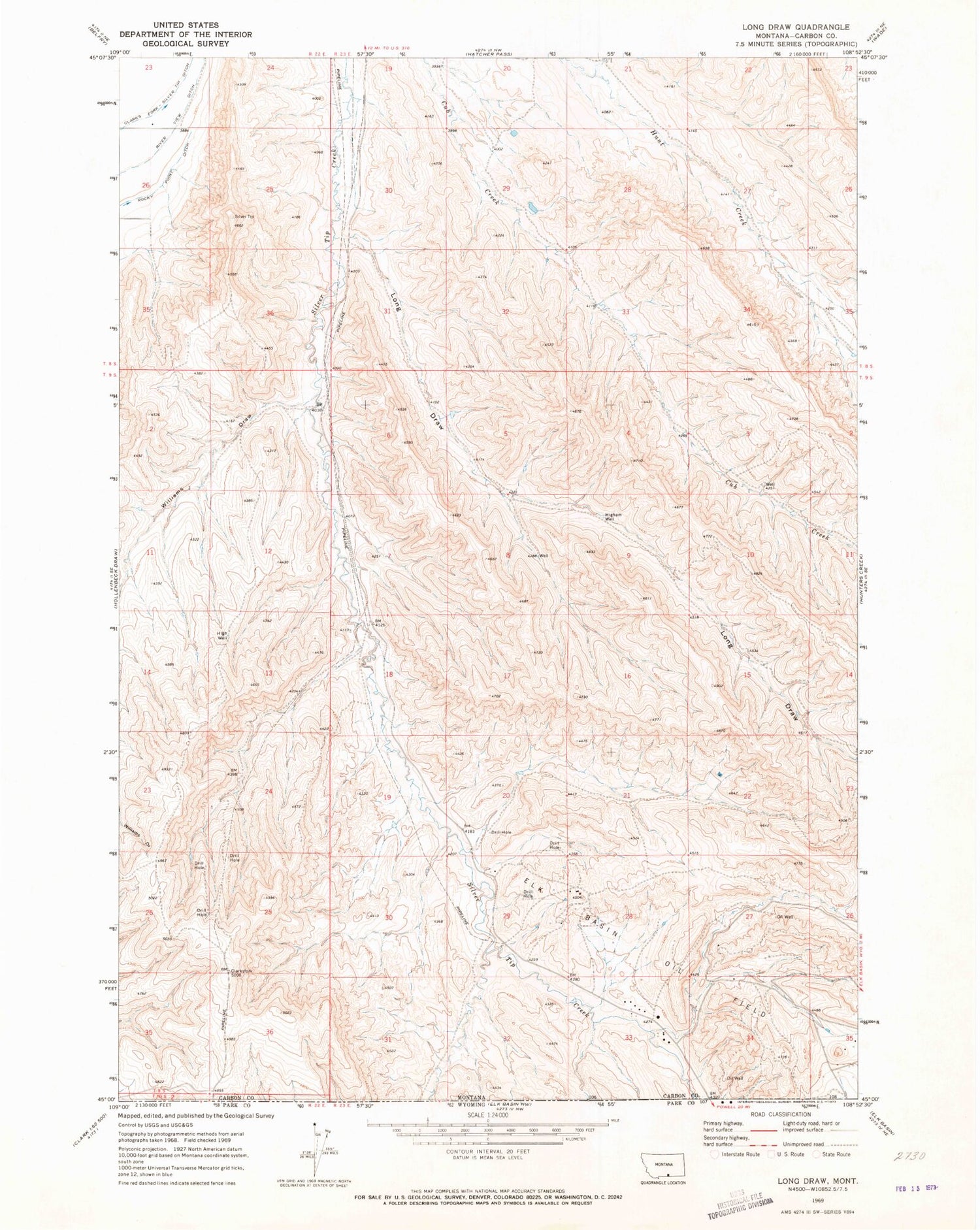
Historical USGS topographic quad map of Long Draw in the state of Montana. Map scale may vary for some years, but is generally around 1:24,000. Print size is approximately 24" x 27"
This quadrangle is in the following counties: Carbon.
The map contains contour lines, roads, rivers, towns, and lakes. Printed on high-quality waterproof paper with UV fade-resistant inks, and shipped rolled.
Contains the following named places: 08S22E23DCCC01 Well, 09S23E18BBDA01 Well, Elk Basin Oil Field, High Well, Higham Well, Long Draw, River View Ditch, Williams Draw


