MyTopo
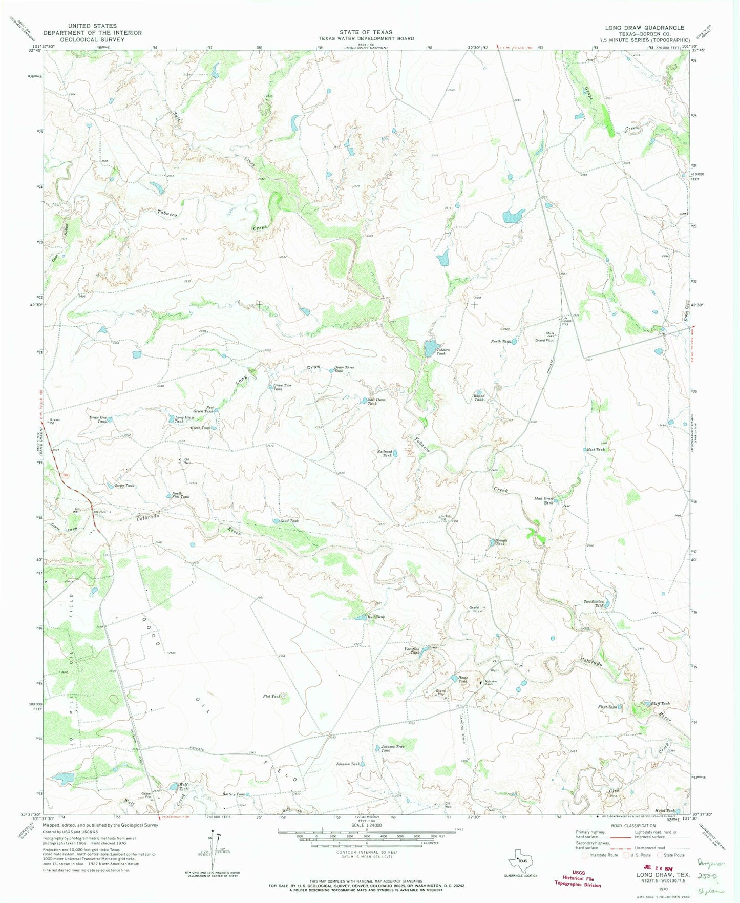
Classic USGS Long Draw Texas 7.5'x7.5' Topo Map
Couldn't load pickup availability
Historical USGS topographic quad map of Long Draw in the state of Texas. Map scale may vary for some years, but is generally around 1:24,000. Print size is approximately 24" x 27"
This quadrangle is in the following counties: Borden.
The map contains contour lines, roads, rivers, towns, and lakes. Printed on high-quality waterproof paper with UV fade-resistant inks, and shipped rolled.
Contains the following named places: Anderson Home Tank Dam, Anderson Tobacco Tank Dam, Battery Tank, Bluff Tank, Bull Tank, Coon Hollow, Crane Draw, Creighton Lake, Creighton Lake Dam, Draw One Tank, Draw Three Tank, Draw Two Tank, East Tank, Flat Tank, Flint Tank, Good Oil Field, Green Tank, Home Tank, Hutto Tank, Johnson Tank, Johnson Trap Tank, Long Draw, Long Draw Tank, Mud Draw Tank, Muleshoe Ranch, New Green Tank, North Flat Tank, North Tank, Railroad Tank, Round Tank, Salt Creek, Salt Draw Tank, Sand Tank, Seepy Tank, Slough Tank, Tobacco Creek, Tobacco Tank, Two Section Tank, Vacation Tank, Wolf Tank