MyTopo
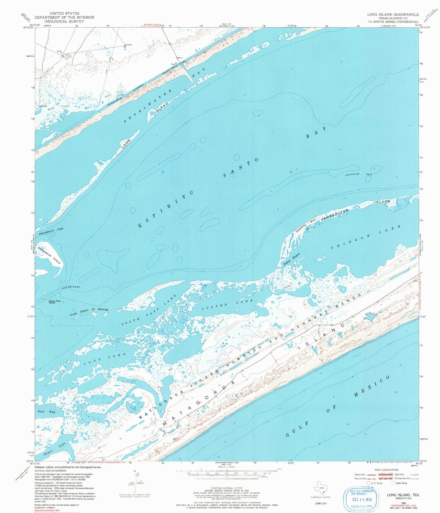
Classic USGS Long Island Texas 7.5'x7.5' Topo Map
Couldn't load pickup availability
Historical USGS topographic quad map of Long Island in the state of Texas. Map scale may vary for some years, but is generally around 1:24,000. Print size is approximately 24" x 27"
This quadrangle is in the following counties: Calhoun.
The map contains contour lines, roads, rivers, towns, and lakes. Printed on high-quality waterproof paper with UV fade-resistant inks, and shipped rolled.
Contains the following named places: Contee Lake, Corey Cove, Espiritu Santo Bay, First Chain of Islands, Josephine Motte, Josephine Reef, Long Island, Long Lake, Matagorda Island State Park, Pats Bay, Power Lake, Pringle Lake, Rahal Bayou, Shoalwater Bay, South Pass, South Pass Island, South Pass Lake, Steamboat Island, Steamboat Pass, Vanderveer Island