MyTopo
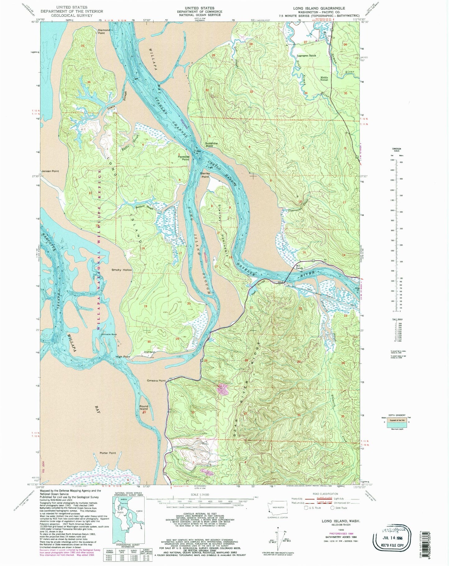
Classic USGS Long Island Washington 7.5'x7.5' Topo Map
Couldn't load pickup availability
Historical USGS topographic quad map of Long Island in the state of Washington. Typical map scale is 1:24,000, but may vary for certain years, if available. Print size: 24" x 27"
This quadrangle is in the following counties: Pacific.
The map contains contour lines, roads, rivers, towns, and lakes. Printed on high-quality waterproof paper with UV fade-resistant inks, and shipped rolled.
Contains the following named places: Baldwin Slough, Chetlo Harbor, Clearwater Creek, Diamond Point, Ellsworth Creek, Ellsworth Slough, High Point, Kaffee Slough, Lagergren Ranch, Lewis Slough, Long Island, Long Island Slough, Naselle River, O'Meara Point, Paradise Point, Pinnacle Rock, Porter Point, Reef Ranch, Round Island, Seal Slough, Shoalwater Bay, Smoky Hollow, Stanley Channel, Stanley Peninsula, Stanley Point, Sunshine Point, Teal Slough, Mill Ranch, Middle Nemah, Willapa National Wildlife Refuge, Sunshine, Louse Rocks, Refuge Display Pool Dam, Templin Quarry