MyTopo
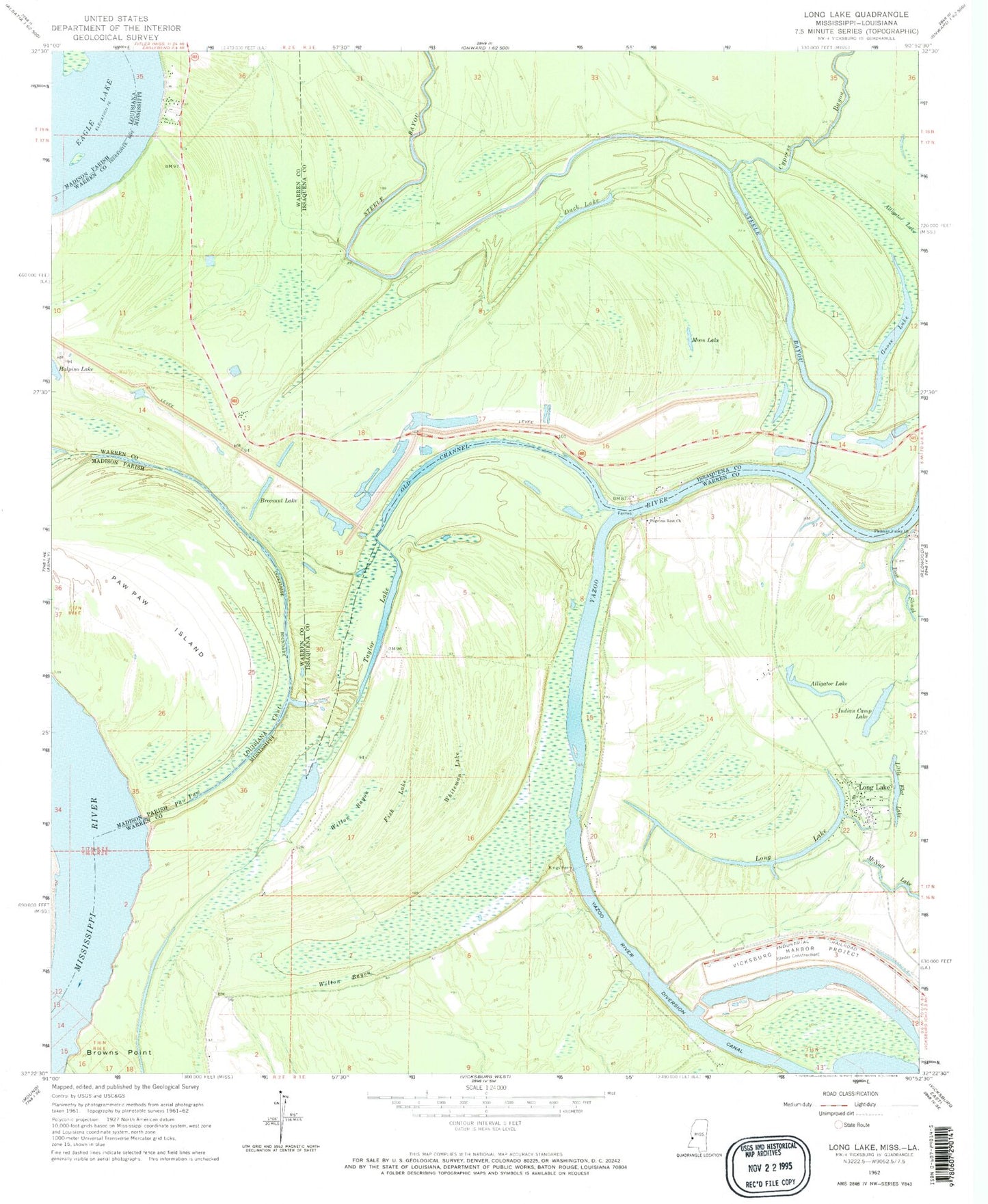
Classic USGS Long Lake Mississippi 7.5'x7.5' Topo Map
Couldn't load pickup availability
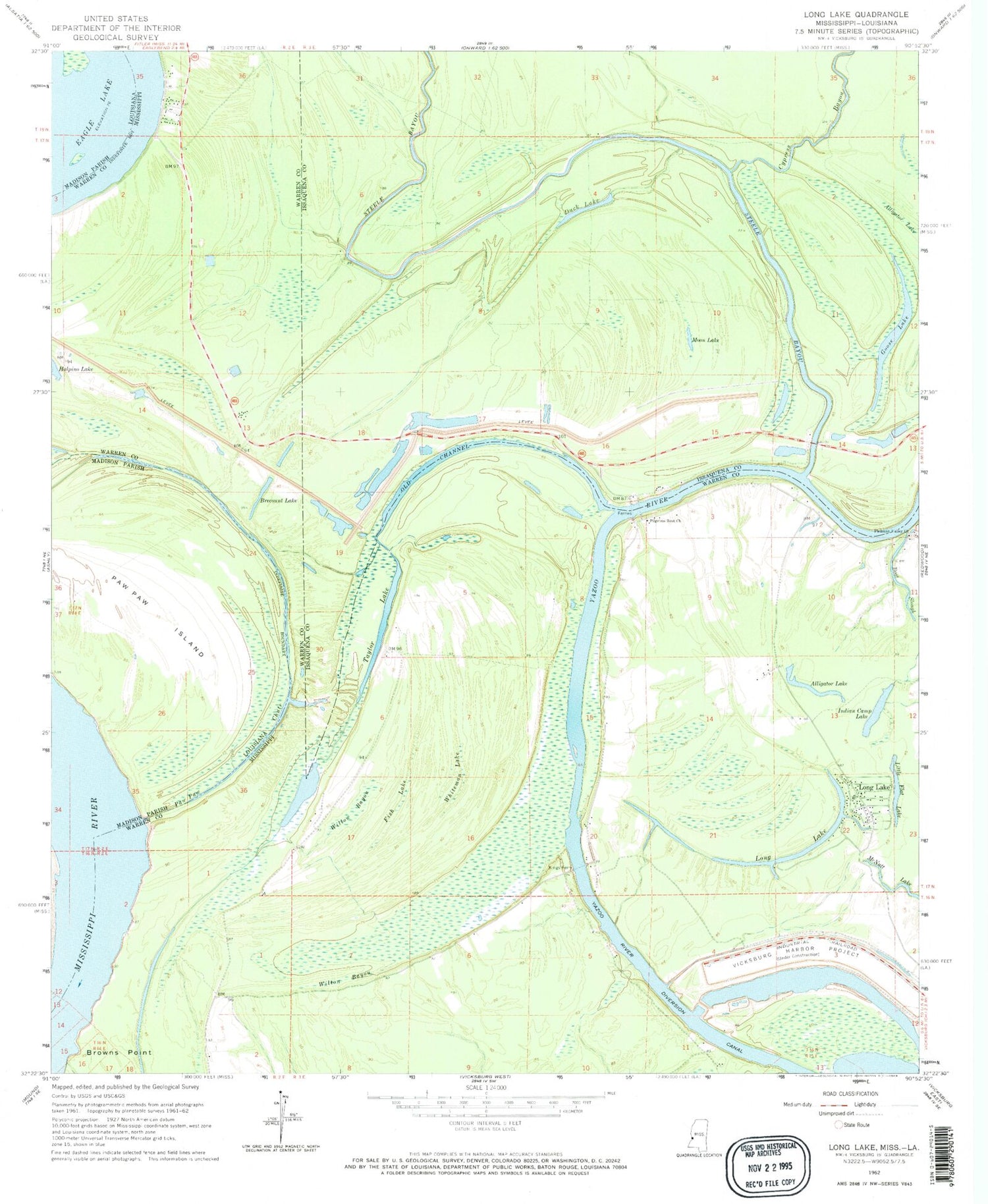
Historical USGS topographic quad map of Long Lake in the states of Mississippi, Louisiana. Map scale may vary for some years, but is generally around 1:24,000. Print size is approximately 24" x 27"
This quadrangle is in the following counties: Issaquena, Madison, Warren.
The map contains contour lines, roads, rivers, towns, and lakes. Printed on high-quality waterproof paper with UV fade-resistant inks, and shipped rolled.
Contains the following named places: Alligator Lake, Boat Slough, Boats Slough Landing, Brecount Lake, Browns Point Landing, Crooks Point Landing, Cypress Bayou, Dalneys Landing, Duck Lake, Eagle Lake Ferry, False River, Fish Lake, Goose Lake, Halpino Landing, Horseshoe Lake, Indian Camp Lake, Kings Ferry, Landing Number Eightyfive, Little Cuba Landing, Little Flat Lake, Locust Grove Landing, Long Lake, McKees Landing, Moon Lake, Old Channel, Paw Paw Chute, Paw Paw Island, Paw Paw Landing, Pilgrims Rest Church, Pleasant Valley Church, Steele Bayou, Steele Bayou Landing, Sweets Ferry, Taylor Lake, Taylor Plantation, Vicksburg Harbor Project, Wallace Lake, White House Landing, Whteman Lake, Williams Plantation, Willow Bayou, Wilton Bayou


