MyTopo
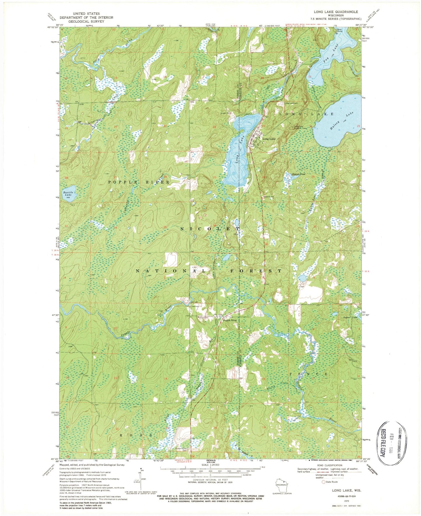
Classic USGS Long Lake Wisconsin 7.5'x7.5' Topo Map
Couldn't load pickup availability
Historical USGS topographic quad map of Long Lake in the state of Wisconsin. Typical map scale is 1:24,000, but may vary for certain years, if available. Print size: 24" x 27"
This quadrangle is in the following counties: Florence, Forest.
The map contains contour lines, roads, rivers, towns, and lakes. Printed on high-quality waterproof paper with UV fade-resistant inks, and shipped rolled.
Contains the following named places: Bastile Lake, Beaver Pond, Coldwater Creek, Fay Lake, Forest Home Cemetery, Halsey Lake, Halsey Lake Outlet, Halsey Lake Slough, Kingstone Creek, Little Popple River, Long Lake, Long Lake, Long Lake Cemetery, Long Lake Lookout Lower, Long Lake Outlet, Martin Creek, Popple River, Town of Popple River, Popple River Townhall, Brice Spur (historical), Moore and Montambo Spur (historical), North School (historical), Peterson Spur (historical), Quinlan Spur (historical), South School (historical), Long Lake Civilian Conservation Corps Camp (historical), Bastile Lake State Natural Area, Long Lake Census Designated Place, Long Lake Volunteer Fire Department, Long Lake Post Office


