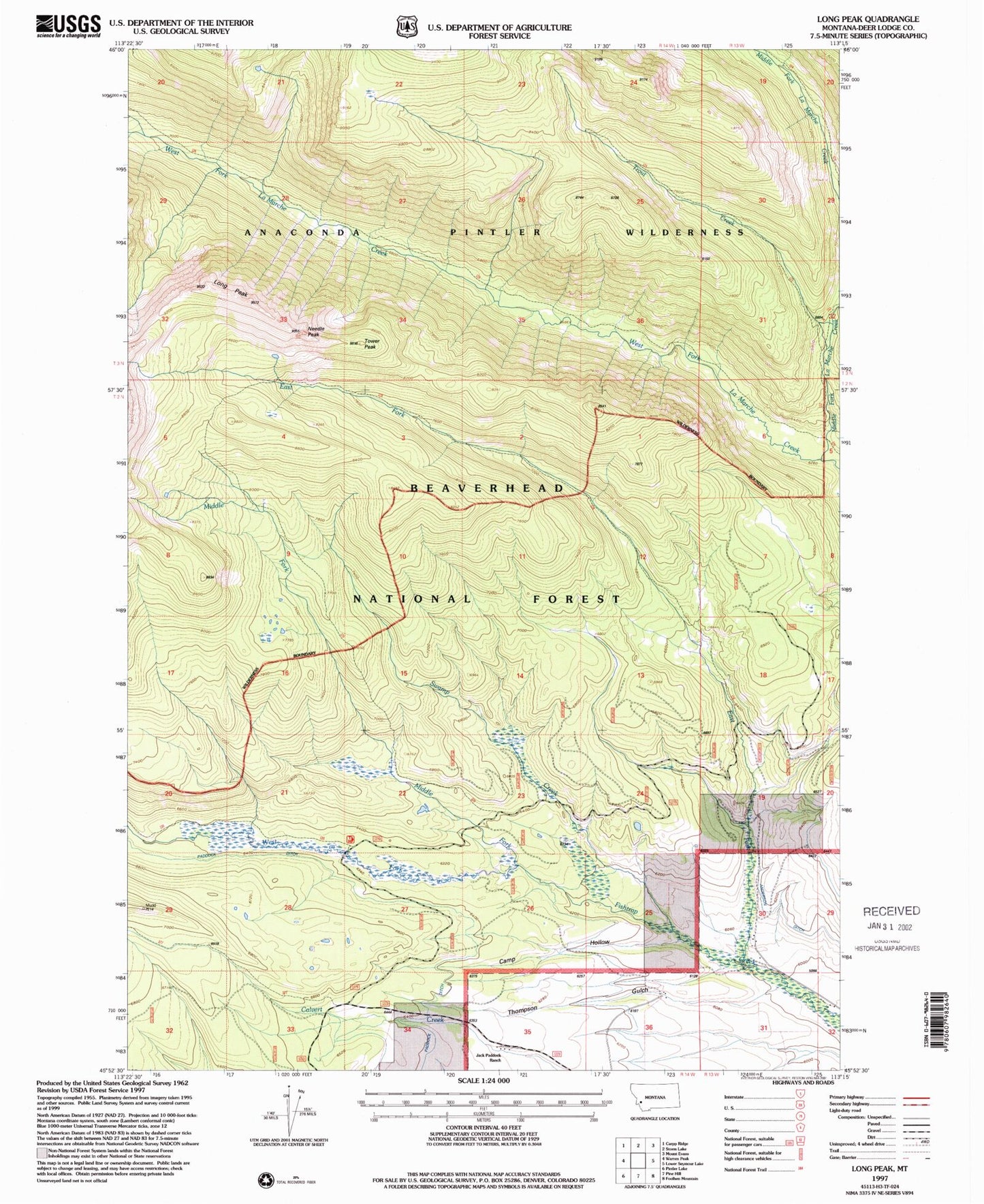
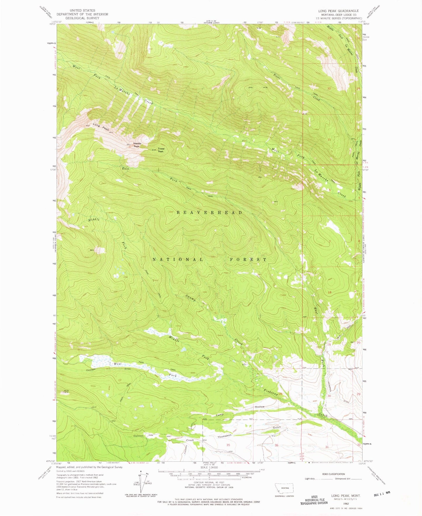
MyTopo
Classic USGS Long Peak Montana 7.5'x7.5' Topo Map
Couldn't load pickup availability
Historical USGS topographic quad map of Long Peak in the state of Montana. Map scale may vary for some years, but is generally around 1:24,000. Print size is approximately 24" x 27"
This quadrangle is in the following counties: Deer Lodge.
The map contains contour lines, roads, rivers, towns, and lakes. Printed on high-quality waterproof paper with UV fade-resistant inks, and shipped rolled.
Contains the following named places: 02N13W30CDAA01 Well, Camp Hollow, East Fork Fishtrap Creek, Jack Paddock Ranch, Long Peak, Middle Fork Fishtrap Creek, Middle Fork La Marche Creek, Needle Peak, Paddock Ditch, South Frying Pan Creek Mine, Swamp Creek, Thompson Gulch, Tower Peak, Trout Creek, West Fork Fishtrap Creek, West Fork La Marche Creek