MyTopo
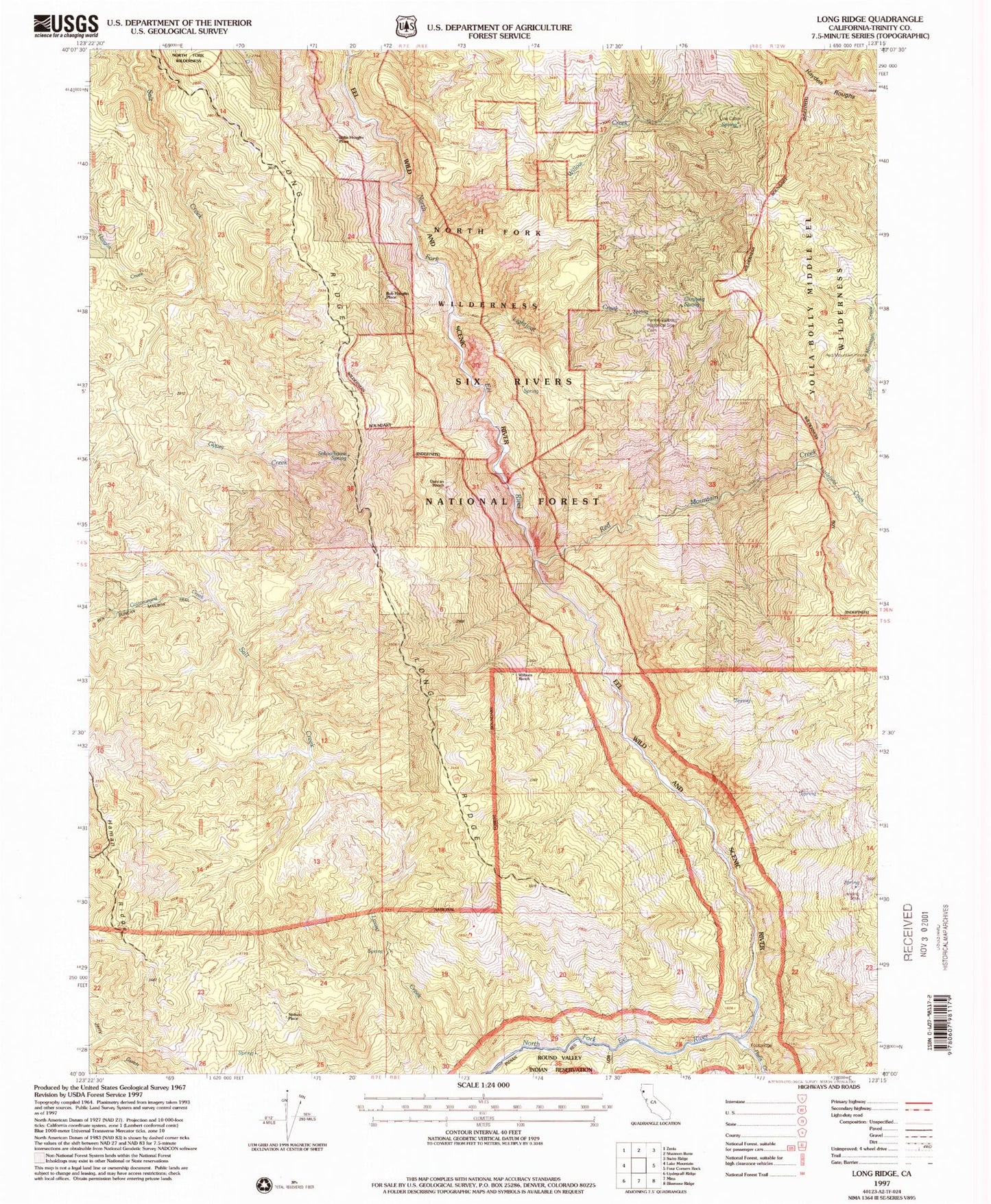
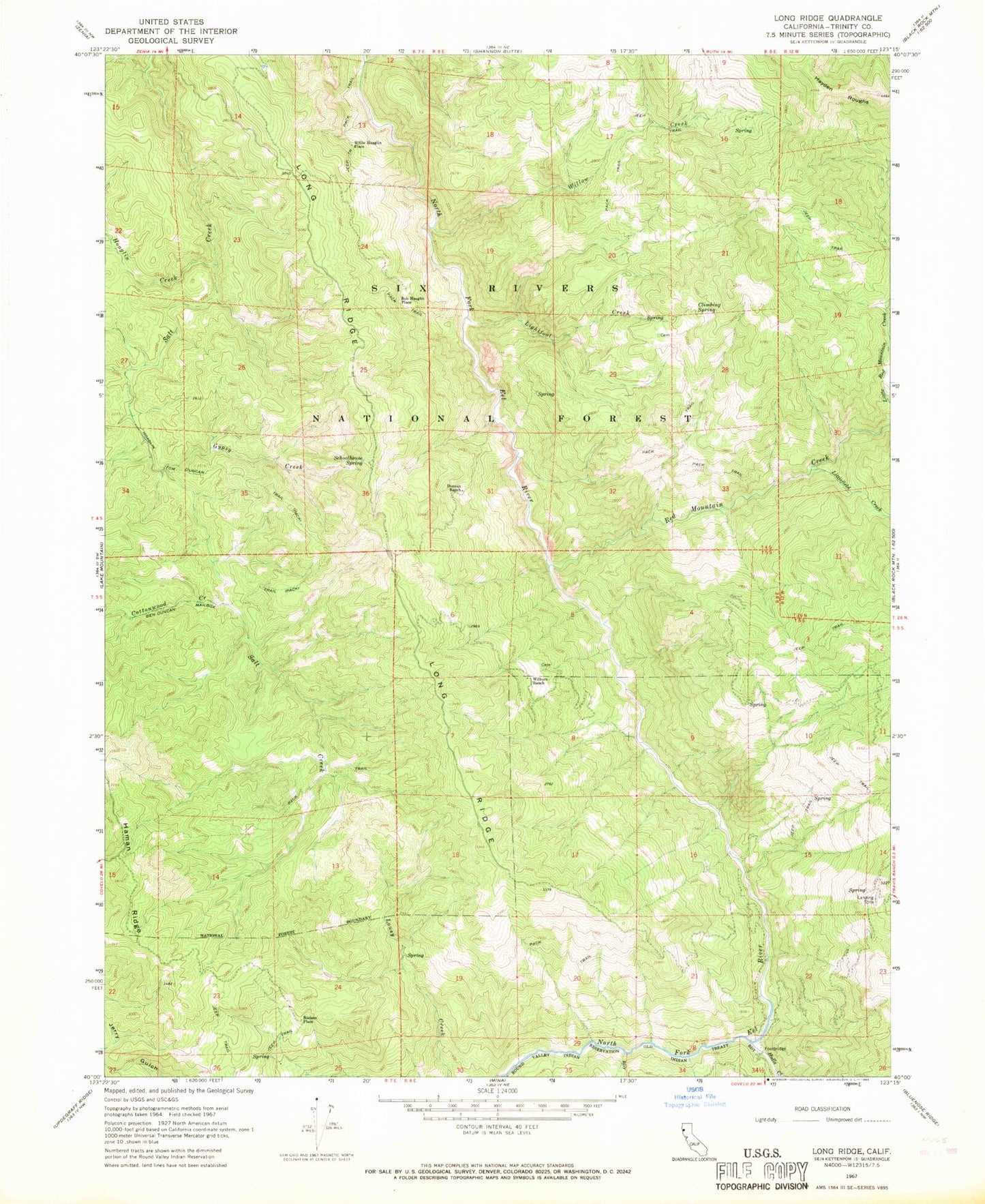
Classic USGS Long Ridge California 7.5'x7.5' Topo Map
Couldn't load pickup availability
Historical USGS topographic quad map of Long Ridge in the state of California. Map scale may vary for some years, but is generally around 1:24,000. Print size is approximately 24" x 27"
This quadrangle is in the following counties: Trinity.
The map contains contour lines, roads, rivers, towns, and lakes. Printed on high-quality waterproof paper with UV fade-resistant inks, and shipped rolled.
Contains the following named places: Ben Duncan Mailbox Trail, Bob Hoaglin Place, Church Wilburn, Climbing Spring, Cottonwood Creek, Duncan Ranch, Fannie Wilburn Historical Site, Gypsy Creek, Haman Ridge, Hayden Place, Hayden Roughs, Hoaglin Creek, Hoaglin Tom Duncan Trail, Hulls Creek, Lightfoot Creek, Little Red Mountain Creek, Littlefield Creek, Long Ridge, Long Ridge School, Nielson Place, North Fork Wilderness, Red Mountain Creek, Rock Creek, Schoolhouse Spring, Wilburn Ranch, Willie Hoaglin Place, Willow Creek


