MyTopo
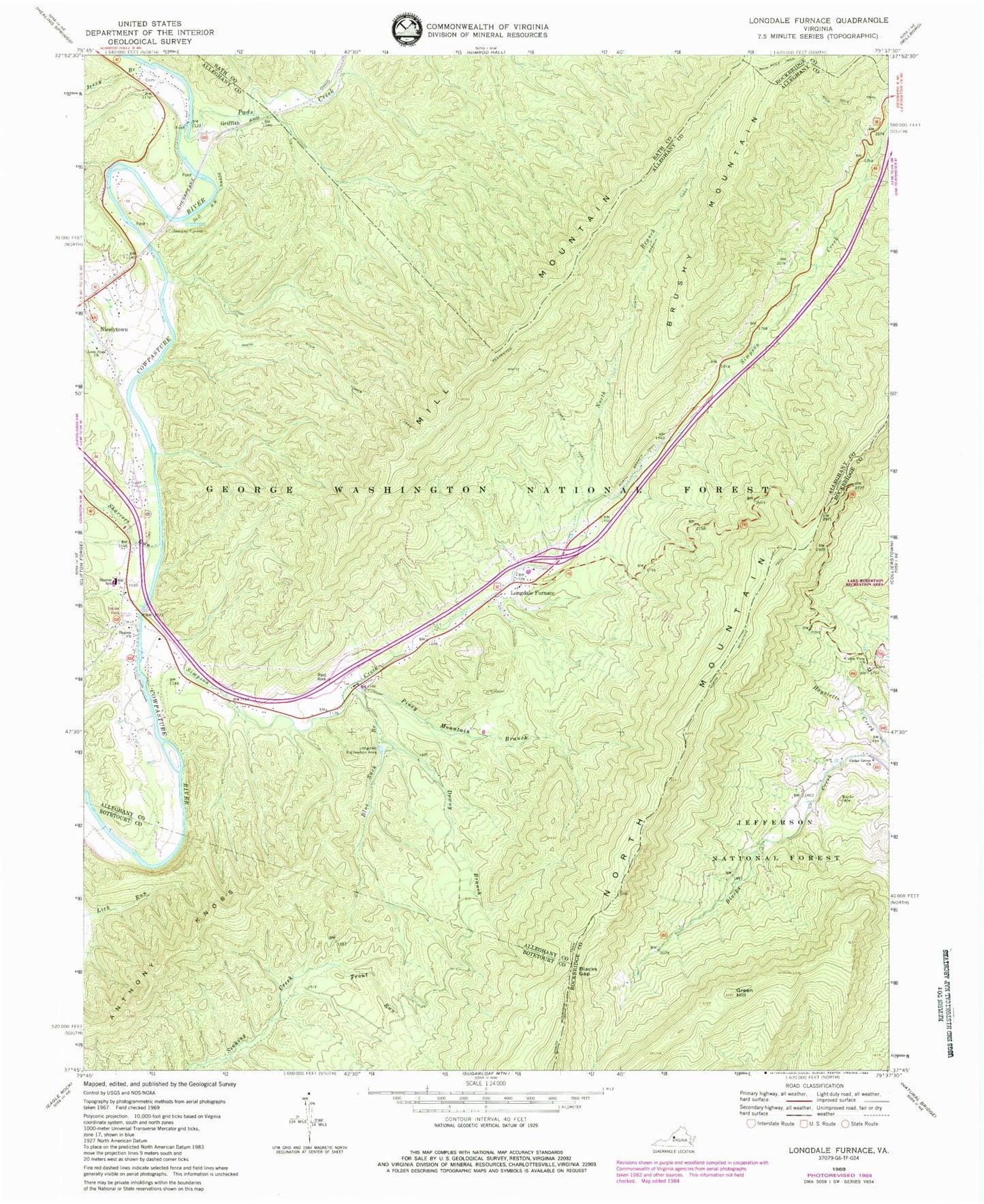
Classic USGS Longdale Furnace Virginia 7.5'x7.5' Topo Map
Couldn't load pickup availability
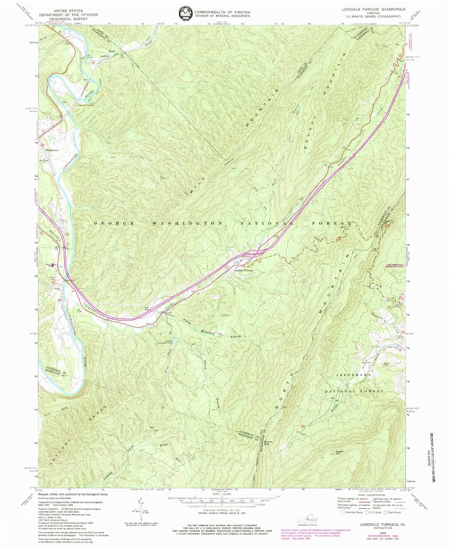
Historical USGS topographic quad map of Longdale Furnace in the state of Virginia. Typical map scale is 1:24,000, but may vary for certain years, if available. Print size: 24" x 27"
This quadrangle is in the following counties: Alleghany, Bath, Botetourt, Rockbridge.
The map contains contour lines, roads, rivers, towns, and lakes. Printed on high-quality waterproof paper with UV fade-resistant inks, and shipped rolled.
Contains the following named places: Blacks Gap, Blue Suck Branch, Cedar Grove Church, Colemans Tunnel, Downy Branch, Green Hill, Jerry Branch, Lone Star Church, Longdale Recreation Area, Mill Mountain, North Branch Trail, North Mountain Trail, Pads Creek, Piney Mountain Branch, Rich Hole Trail, North Branch Simpson Creek, Sharon Church, Sharon Elementary School, Sharvers Run, Trout Run, Union View Church, White Rock Tower Trail, Simpson Creek, Rich Hole, Anthony Knobs, Griffith, Longdale Furnace, Nicelytown, Brushy Mountain, Goodbar Cemetery, Oakland Grove Church (historical), Union View Cemetery, Clifton District (historical), Sharon District, Rich Hole Wilderness, Sharon Volunteer Fire Department and First Responders


