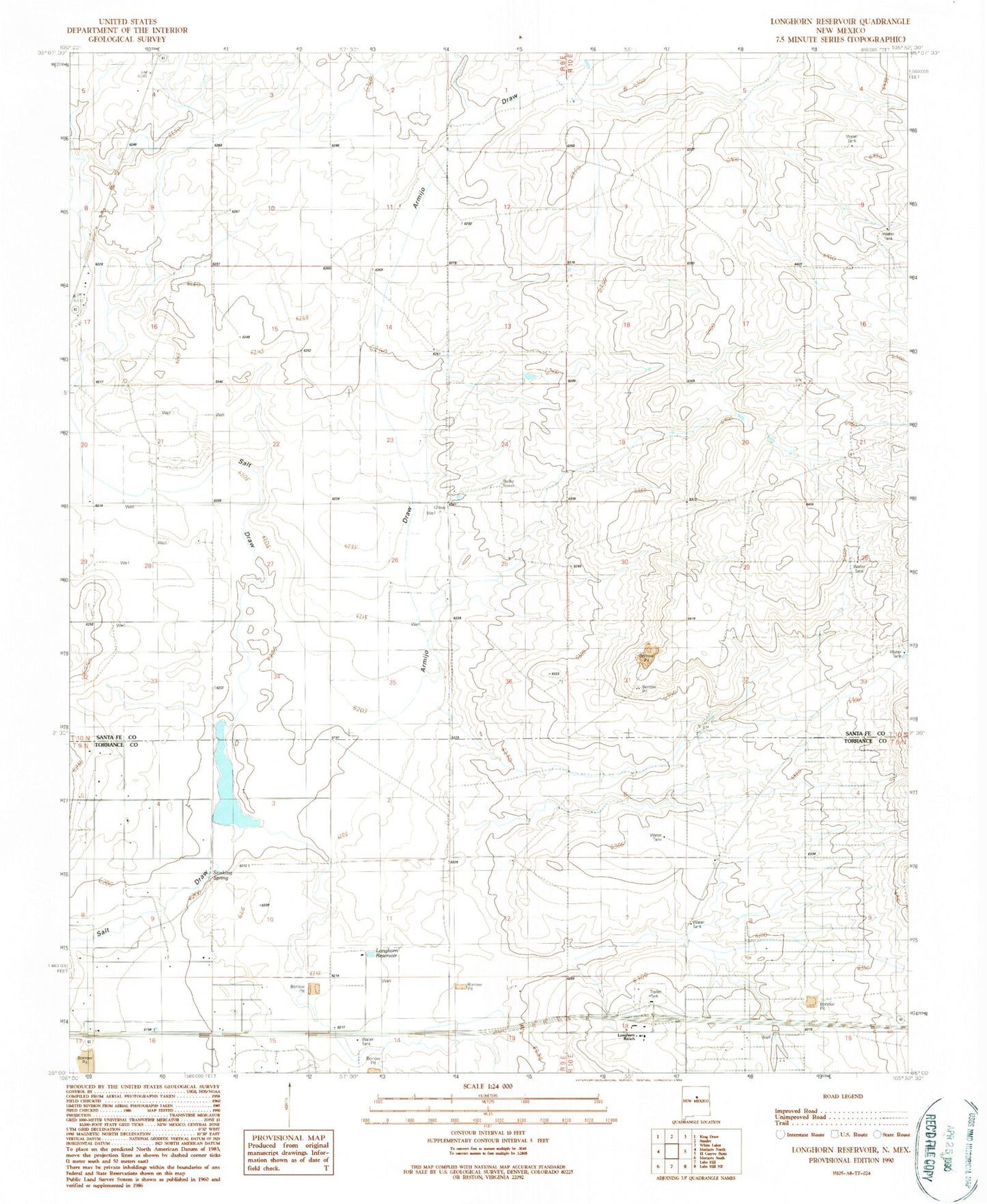
MyTopo
Classic USGS Longhorn Reservoir New Mexico 7.5'x7.5' Topo Map
Couldn't load pickup availability
Historical USGS topographic quad map of Longhorn Reservoir in the state of New Mexico. Map scale may vary for some years, but is generally around 1:24,000. Print size is approximately 24" x 27"
This quadrangle is in the following counties: Santa Fe, Torrance.
The map contains contour lines, roads, rivers, towns, and lakes. Printed on high-quality waterproof paper with UV fade-resistant inks, and shipped rolled.
Contains the following named places: 10016 Water Well, 10018 Water Well, 101008 Water Well, 10112 Water Well, Abrahm Ranch, Anaya Ranch, Armijo Draw, Bogan Ranch, Chaney Ranch, Erramousbe Ranch, Greggs Trail Historical Marker, Healy Ranch, Lake Estancia Historical Marker, Longhorn Ranch, Longhorn Reservoir, Montano Ranch, Montoya Ranch, Mountain States Cattle Company, ONeal Ranch, Rowell Ranch, Stinking Spring