MyTopo
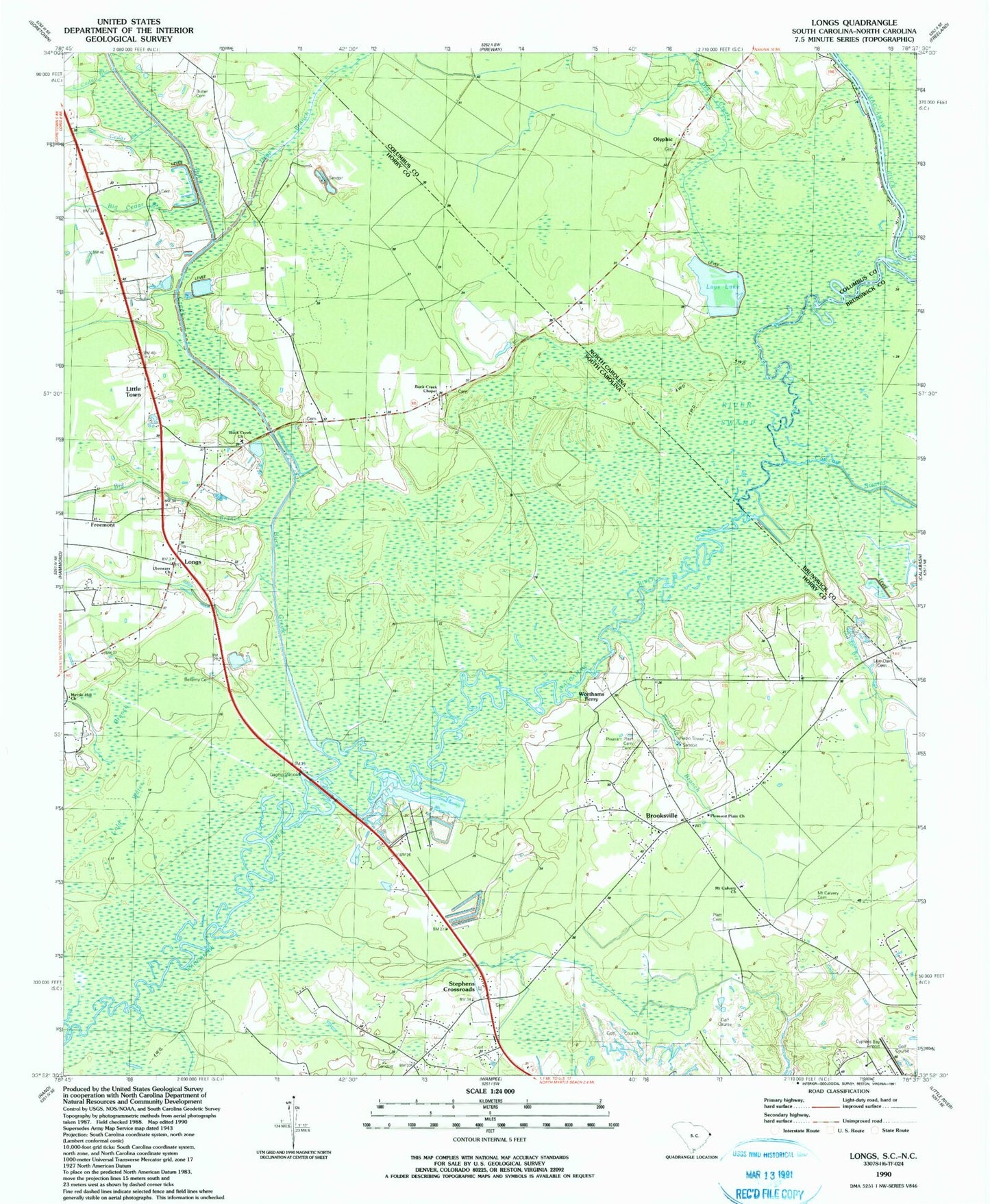
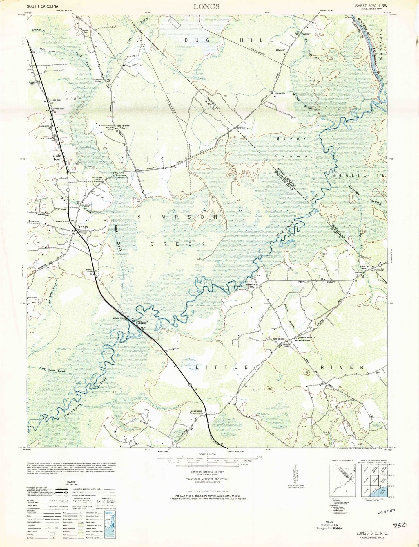
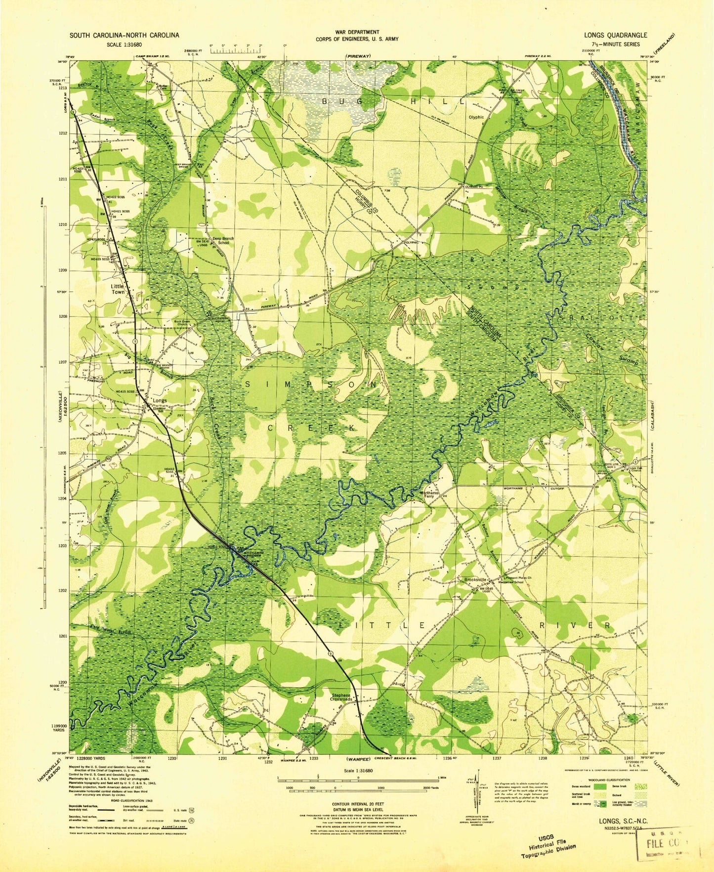
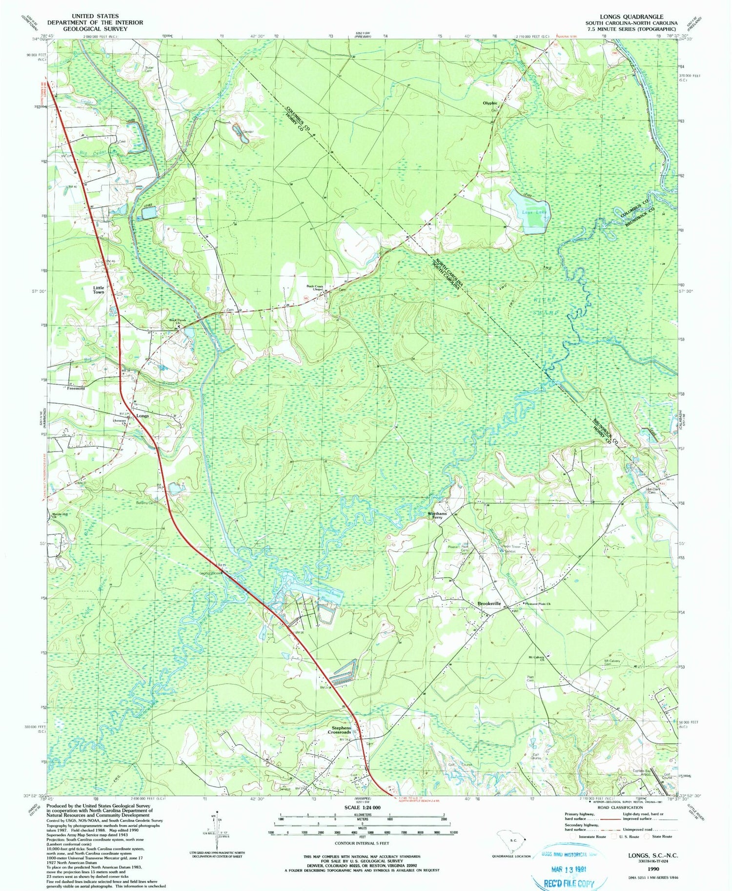
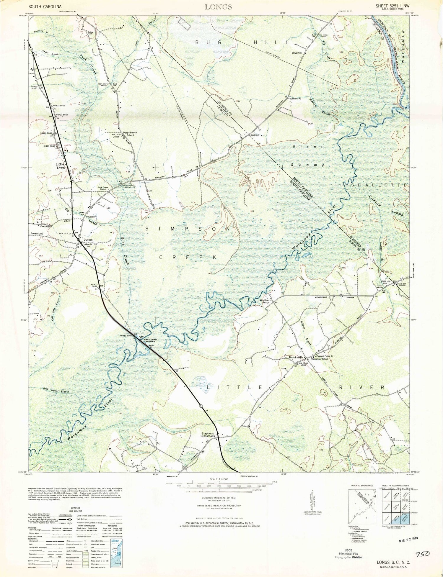
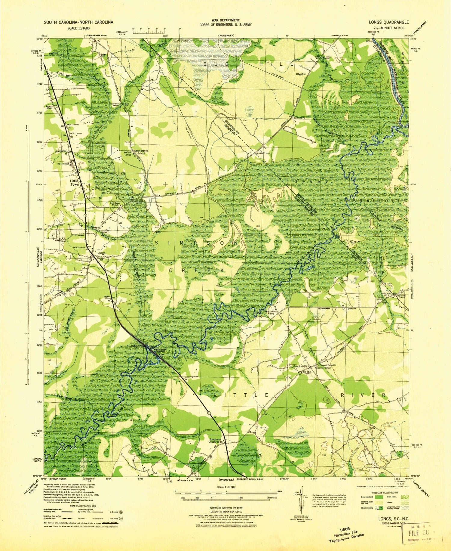
Classic USGS Longs South Carolina 7.5'x7.5' Topo Map
Couldn't load pickup availability
Historical USGS topographic quad map of Longs in the states of South Carolina, North Carolina. Map scale may vary for some years, but is generally around 1:24,000. Print size is approximately 24" x 27"
This quadrangle is in the following counties: Brunswick, Columbus, Horry.
The map contains contour lines, roads, rivers, towns, and lakes. Printed on high-quality waterproof paper with UV fade-resistant inks, and shipped rolled.
Contains the following named places: Baker Bay, Bellamy Branch, Bellamy Cemetery, Big Branch Bridge, Big Cedar Branch, Big Creek, Big Creek Bridge, Brooksville, Brooksville Fire Department, Brooksville Fire Department Station 1B, Brooksville School, Buck Creek, Buck Creek Bridge, Buck Creek Chapel, Buck Creek Church, Butler Cemetery, Cawcaw Swamp, Cold Water Branch, Colonial Charters Golf Club, Cypress Bay Airport, Deep Branch, Deep Branch Bridge, Deep Branch School, Donford Branch, Eagle Nest Golf Course, Ebenezer Church, Ebenezer School, Freemont, Horry County Fire Department Station 13, Horry County Fire Department Station 18, Indigo Branch, Indigo Bridge, Little Cedar Branch, Little Cedar Pond, Little River Census Designated Place, Little Town, Live Oak Cemetery, Live Oak Church, Long Bay Club, Longs, Longs Post Office, Marlow Branch, Mertle Hill Church, Mount Calvery Cemetery, Mount Calvery Church, Olyphic, Olyphic Post Office, Platt Cemetery, Pleasant Plains Cemetery, Pleasant Plains Church, River Swamp, Russ Ferry, Scippio Swamp, State Line Monument 1, Stephens Crossroads, Trueway Church, Union Church, Waccamaw Bridges, Waccamaw School, Worthams Ferry
