MyTopo
Classic USGS Longton NW Kansas 7.5'x7.5' Topo Map
Regular price
$16.95
Regular price
Sale price
$16.95
Unit price
per
Couldn't load pickup availability
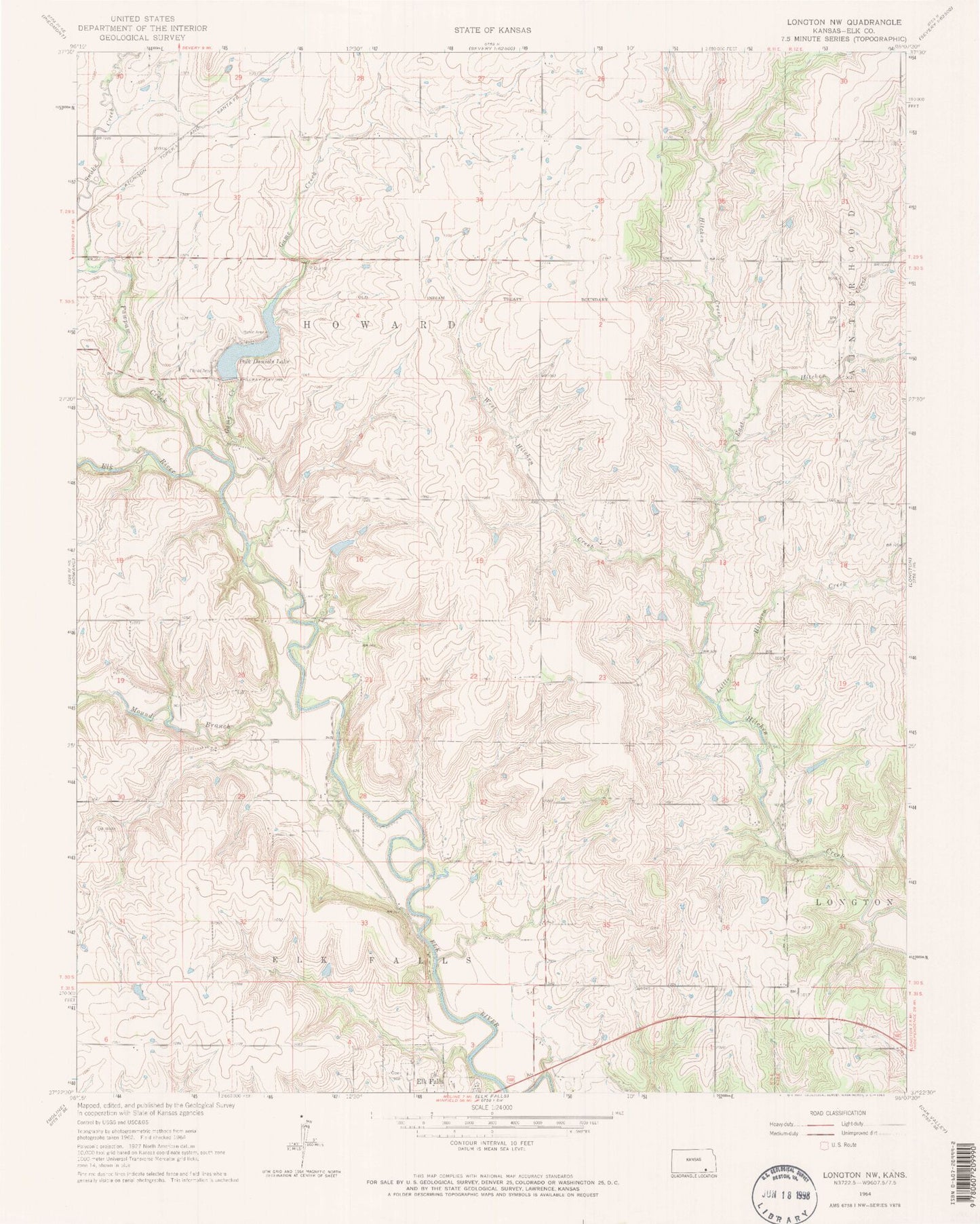
Historical USGS topographic quad map of Longton NW in the state of Kansas. Map scale may vary for some years, but is generally around 1:24,000. Print size is approximately 24" x 27"
This quadrangle is in the following counties: Elk.
The map contains contour lines, roads, rivers, towns, and lakes. Printed on high-quality waterproof paper with UV fade-resistant inks, and shipped rolled.
Contains the following named places: East Hitchen Creek, Elk County, Elk Falls Cemetery, Game Creek, Lima, Little Hitchen Creek, Mound Branch, Pawpaw Creek, Polk Daniels Lake, Snake Creek, Township of Howard, West Hitchen Creek, ZIP Code: 67345