MyTopo
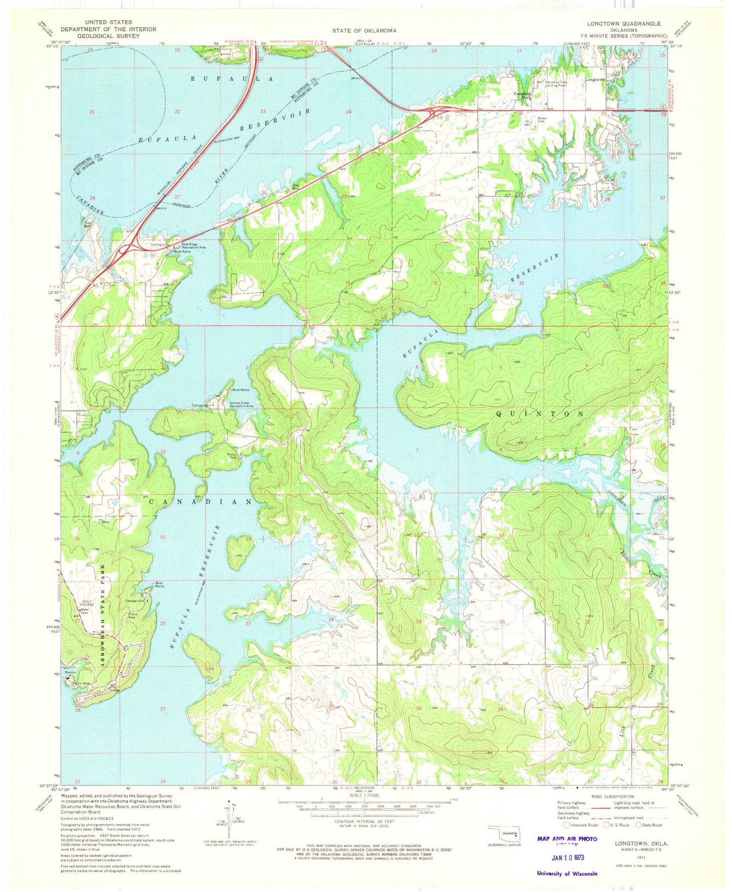
Classic USGS Longtown Oklahoma 7.5'x7.5' Topo Map
Couldn't load pickup availability
Historical USGS topographic quad map of Longtown in the state of Oklahoma. Map scale may vary for some years, but is generally around 1:24,000. Print size is approximately 24" x 27"
This quadrangle is in the following counties: McIntosh, Pittsburg.
The map contains contour lines, roads, rivers, towns, and lakes. Printed on high-quality waterproof paper with UV fade-resistant inks, and shipped rolled.
Contains the following named places: Arrowhead Estates Volunteer Fire Department, Bower Cemetery, Canadian Fork, Carlton Landing, Carlton Landing Field, Gaines Creek Recreation Area, Lick Creek, Longtown, Longtown Census Designated Place, Number 9 Volunteer Fire Department, Oak Ridge Recreation Area, Town of Carlton Landing