MyTopo
Classic USGS Longview North Carolina 7.5'x7.5' Topo Map
Couldn't load pickup availability
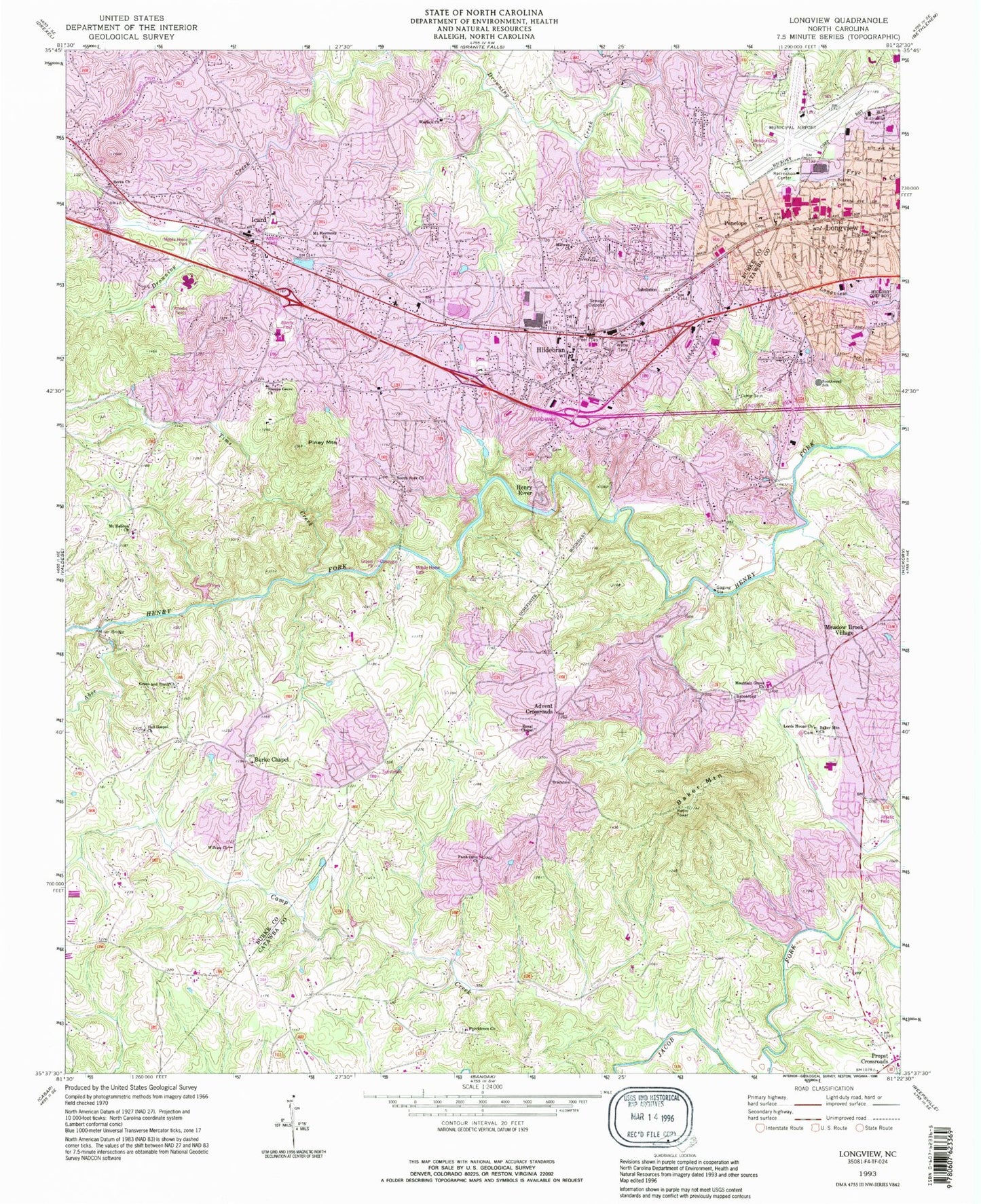
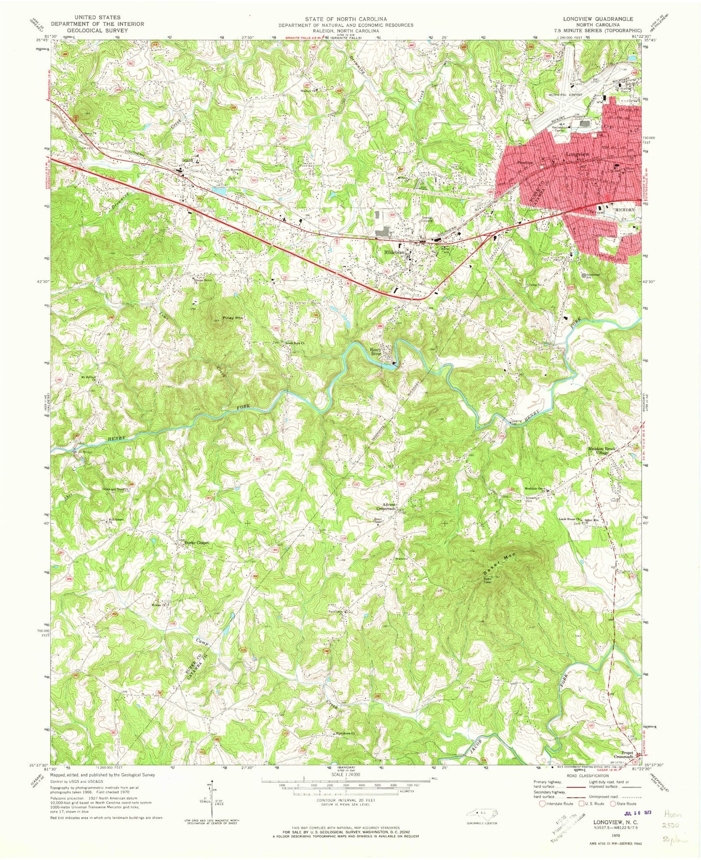
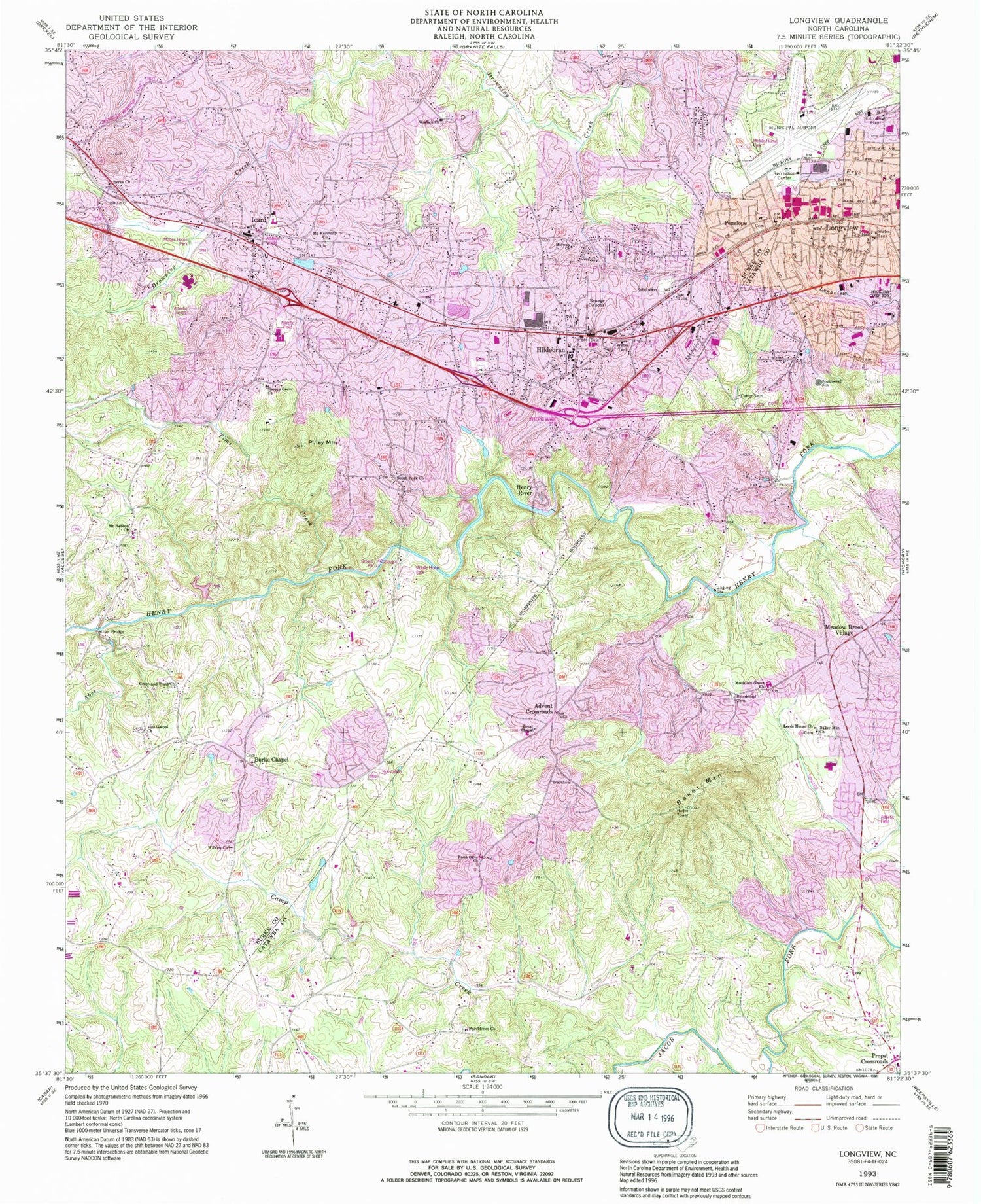
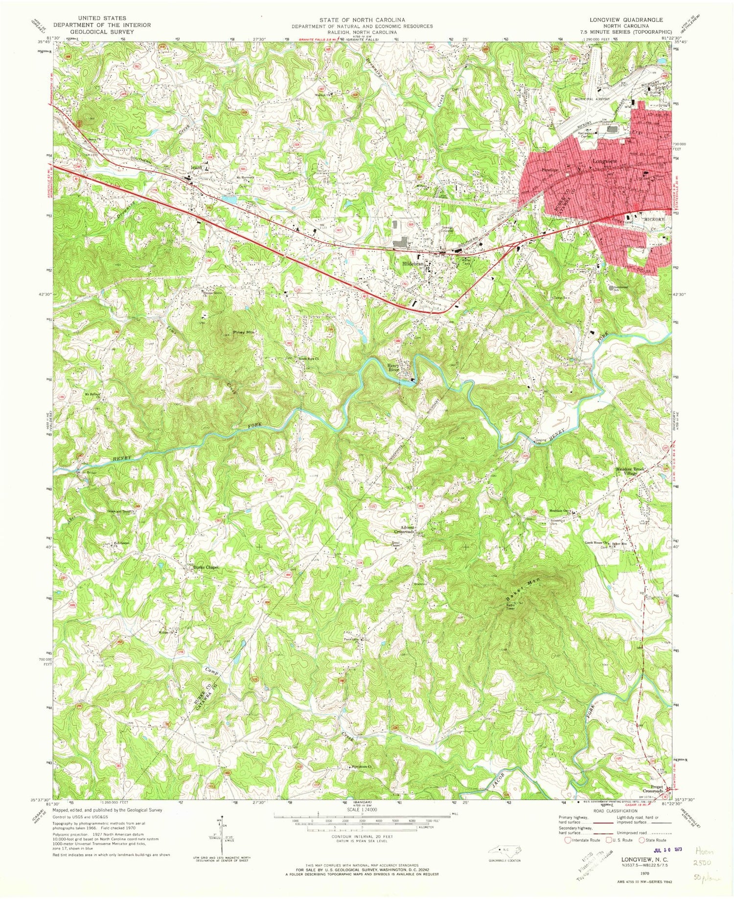
Historical USGS topographic quad map of Longview in the state of North Carolina. Map scale may vary for some years, but is generally around 1:24,000. Print size is approximately 24" x 27"
This quadrangle is in the following counties: Burke, Catawba.
The map contains contour lines, roads, rivers, towns, and lakes. Printed on high-quality waterproof paper with UV fade-resistant inks, and shipped rolled.
Contains the following named places: Abee Creek, Advent Crossroads, Baker Mountain, Baker Mountain Church, Berea Church, Bethel Cemetery, Brookford Cemetery, Burke Chapel, Burke Chapel United Methodist Church Cemetery, Burke County Emergency Services Station 4, Camp Creek, Camp Sain, Drowning Creek, Drowning Creek Volunteer Fire Department, East Burke High School, East Burke Junior High School, Faith Olive Church, Full Gospel Church, Grace and Truth Church, Hatterbrond, Henry River, Henry River Dam, Henry River Lake, Hickory Fire Department Station 4 Airport, Hickory Regional Airport, Hildebran, Hildebran Post Office, Icard, Icard Census Designated Place, Icard Elementary School, Icard Post Office, Icard Township Fire and Rescue, Long View Fire Department, Long View Police Department, Longview, Longview Elementary School, Lords House Church, Meadow Brook Village, Midway Church, Miller Bridge, Mount Harmony Church, Mount Hebron Church, Mountain Grove Church, Mountain View Volunteer Fire Department Station 12, Penelope, Piney Mountain, Propst Crossroads, Providence Church, Royal Chapel, Shoups Grove Church, South Fork Church, Southwest School, Tims Creek, Town of Hildebran, Town of Long View, Township of Icard, Warlick Church, Wilkies Church, WUIV-AM (Icard Township), ZIP Codes: 28602, 28637, 28666


