MyTopo
Classic USGS Loogootee Illinois 7.5'x7.5' Topo Map
Couldn't load pickup availability
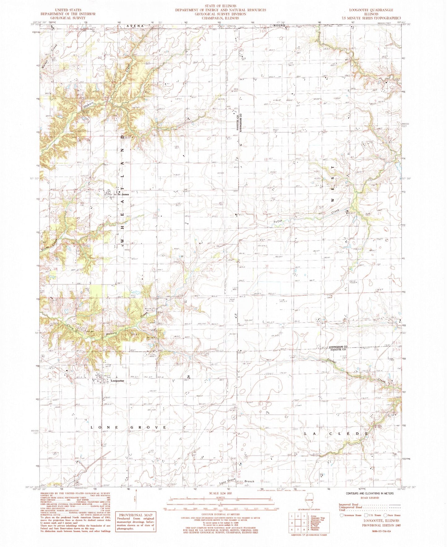
Historical USGS topographic quad map of Loogootee in the state of Illinois. Map scale may vary for some years, but is generally around 1:24,000. Print size is approximately 24" x 27"
This quadrangle is in the following counties: Effingham, Fayette.
The map contains contour lines, roads, rivers, towns, and lakes. Printed on high-quality waterproof paper with UV fade-resistant inks, and shipped rolled.
Contains the following named places: Ambuehl Cemetery, Besing Cemetery, Centerville School, Eldorado School, Grieder School, Harris Cemetery, Loogootee, Loogootee Post Office, Lovett Cemetery, Macedonia Church, Maple Grove School, Nirider School, Point Pleasant School, Prairie View School, Rauchman School, Roberts Lake, Roberts Lake Dam, Rush School, Saint James, Saint Johns Church, Stein Cemetery, Township of Wheatland, Voelker School