MyTopo
Classic USGS Loogootee Indiana 7.5'x7.5' Topo Map
Couldn't load pickup availability
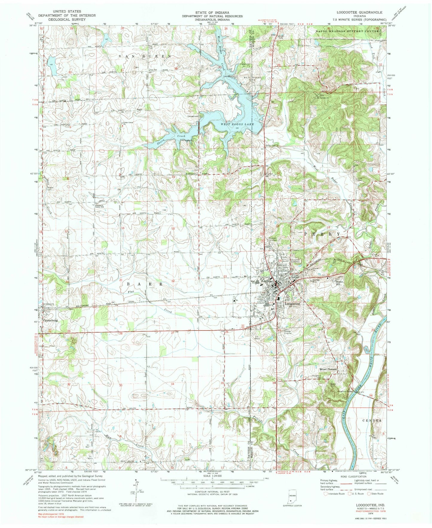
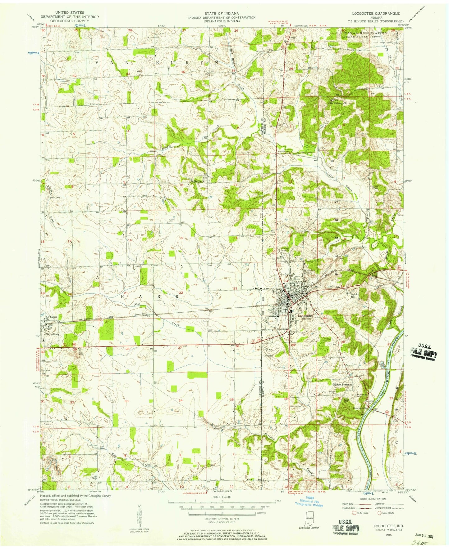
Historical USGS topographic quad map of Loogootee in the state of Indiana. Map scale may vary for some years, but is generally around 1:24,000. Print size is approximately 24" x 27"
This quadrangle is in the following counties: Daviess, Martin.
The map contains contour lines, roads, rivers, towns, and lakes. Printed on high-quality waterproof paper with UV fade-resistant inks, and shipped rolled.
Contains the following named places: All Saints Church, Boggs Creek, Brooks Cemetery, Cannelburg, Cedar Grove Church, City of Loogootee, Goodwill Cemetery, Graber Poultry Farm, Houghton Bridge, Houghton Cemetery, Loogootee, Loogootee Fire Department, Loogootee High School, Loogootee Police Department, Loogootee Post Office, Loogootee Volunteer Fire Department, Love Cemetery, Mount Calvary Church, Mount Pleasant, Prairie Creek Structure Number A-2-1, Prairie Creek Structure Number A-2-2, Saint John Lutheran School, Saint Johns Cemetery, Saint Marys Church, Scenic Hill, Shurn Creek, Southeast Center School, Town of Cannelburg, Wagler Cemetery, West Boggs Creek, West Boggs Creek Dam, West Boggs Lake, West Boggs Park, Wood Cemetery, Zion Church, ZIP Code: 47553