
MyTopo
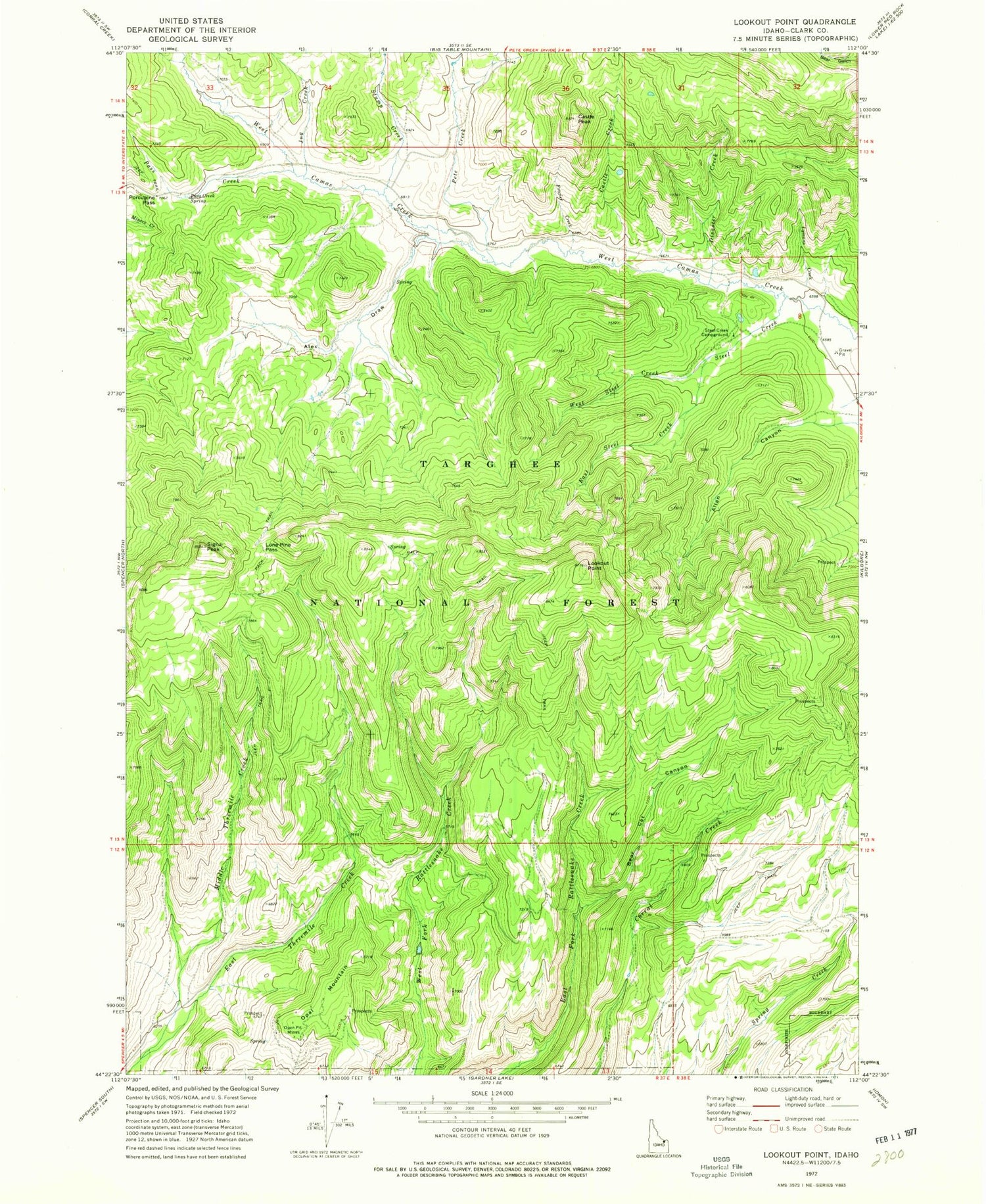
Classic USGS Lookout Point Idaho 7.5'x7.5' Topo Map
Couldn't load pickup availability
Historical USGS topographic quad map of Lookout Point in the state of Idaho. Map scale may vary for some years, but is generally around 1:24,000. Print size is approximately 24" x 27"
This quadrangle is in the following counties: Clark.
The map contains contour lines, roads, rivers, towns, and lakes. Printed on high-quality waterproof paper with UV fade-resistant inks, and shipped rolled.
Contains the following named places: Alex Draw, Allan Canyon, Bear Cat Canyon, Castle Creek, Castle Peak, Disaster Creek, East Steel Creek, East Threemile Creek, Frazier Creek, Jug Creek, Lone Pine Pass, Lookout Point, Lymans Creek, Middle Threemile Creek, Opal Mountain, Pass Creek, Pass Creek Spring, Pete Creek, Porcupine Pass, Signal Peak, Steel Creek, Steel Creek Campground, Stump Creek, West Steel Creek


