MyTopo
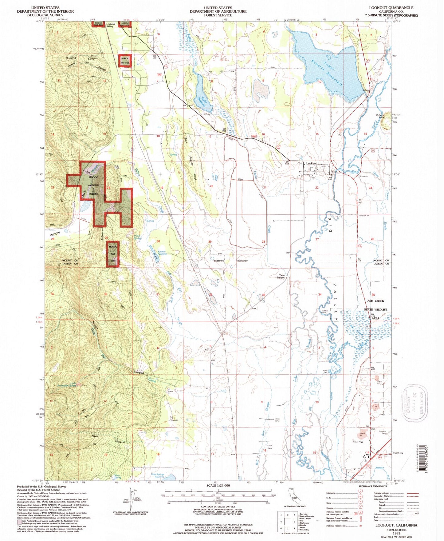
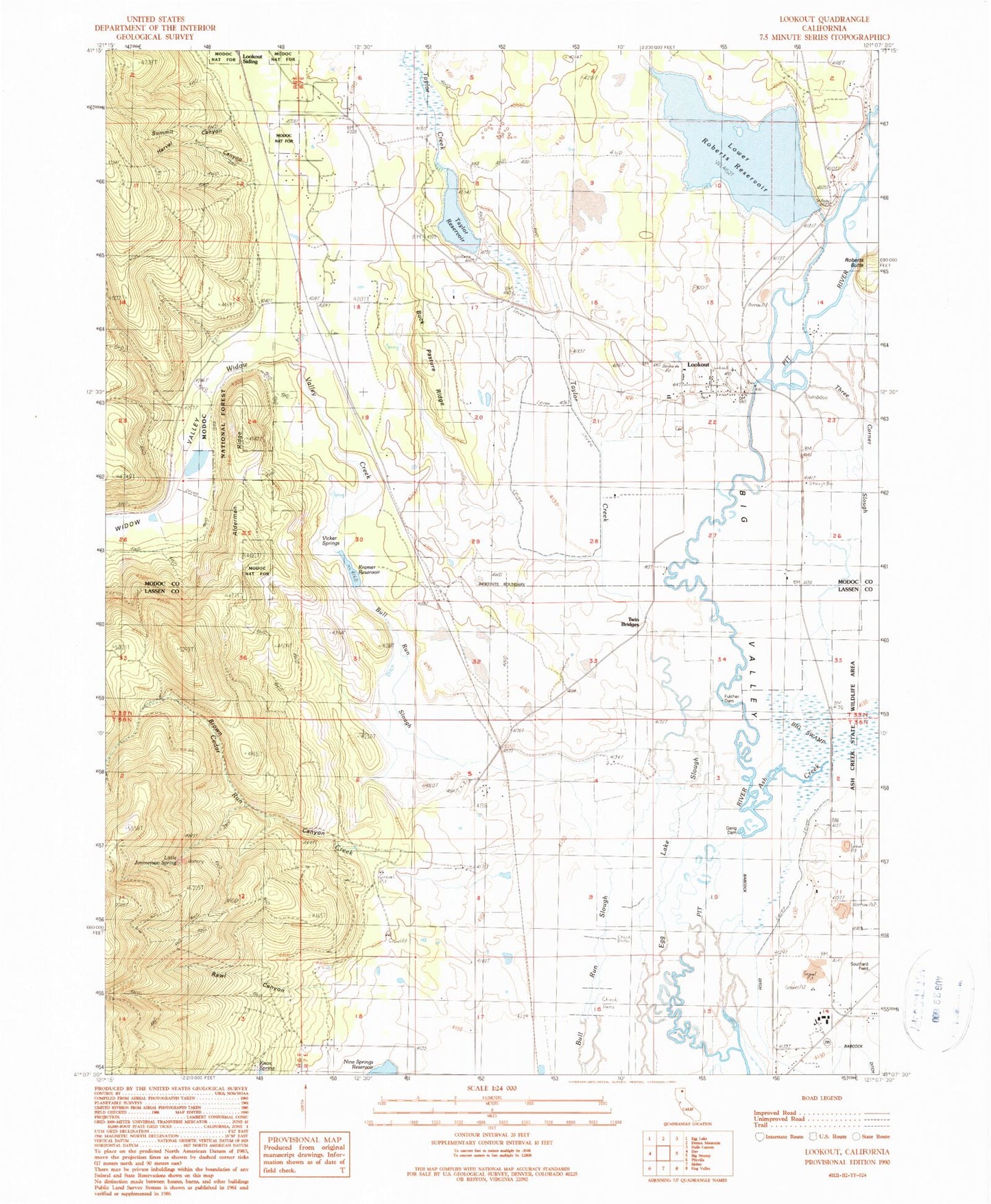
Classic USGS Lookout California 7.5'x7.5' Topo Map
Couldn't load pickup availability
Historical USGS topographic quad map of Lookout in the state of California. Map scale may vary for some years, but is generally around 1:24,000. Print size is approximately 24" x 27"
This quadrangle is in the following counties: Lassen, Modoc.
The map contains contour lines, roads, rivers, towns, and lakes. Printed on high-quality waterproof paper with UV fade-resistant inks, and shipped rolled.
Contains the following named places: Alderman Ridge, Ash Creek, Babcock Ditch, Bieber Census Designated Place, Brown Canyon, Buck Pasture Ridge, Cedar Run Creek, Fulcher Dam, Gerig Dam, Harvel Canyon, Hayes, Indian Cemetery, Joiner, Knox Spring, Kramer 156-006 Dam, Kramer Quarry, Kramer Ranch, Kramer Reservoir, Little Jimmerson Spring, Lookout, Lookout 164 Dam, Lookout Cemetery, Lookout Census Designated Place, Lookout Fire Hall, Lookout Fire Protection District Rancheria, Lookout Post Office, Lookout Rancheria, Lookout Siding, Lower Roberts Reservoir, Mammoth, Monchamp, Oilar Ditch, P and N Gerig Ranch, P Gerig Ranch, Potter Sawmill, Rawl Canyon, Roberts 157-002 Dam, S Gerig Ranch, Summit Canyon, Taylor Creek, Taylor Creek Number 1 114 Dam, Taylor Reservoir, Three Corner Slough, Turner Creek, Twin Bridges, Vicker Springs, Widow Valley, Widow Valley Creek


