MyTopo
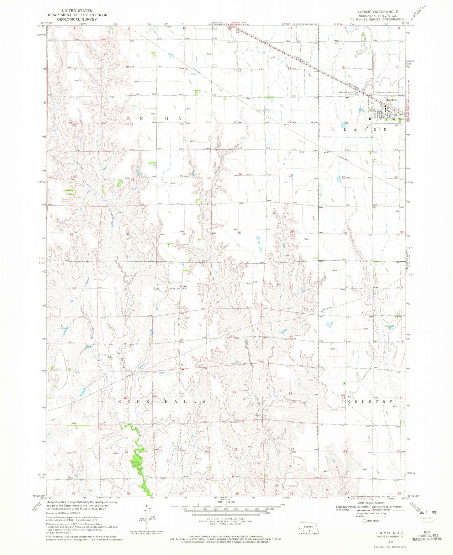
Classic USGS Loomis Nebraska 7.5'x7.5' Topo Map
Couldn't load pickup availability
Historical USGS topographic quad map of Loomis in the state of Nebraska. Map scale may vary for some years, but is generally around 1:24,000. Print size is approximately 24" x 27"
This quadrangle is in the following counties: Phelps.
The map contains contour lines, roads, rivers, towns, and lakes. Printed on high-quality waterproof paper with UV fade-resistant inks, and shipped rolled.
Contains the following named places: Agri Coop Elevator, Election Precinct 7, Johnson Dam-1 Dam, Johnson Reservoir, Linder Stock Farms, Loomis, Loomis Evangelical Free Church, Loomis Post Office, Loomis Public Schools, Loomis United Methodist Church, Loomis Volunteer Fire and Rescue, Shaw Cemetery, Township of Industry-Rock Falls, Township of Union, Village of Loomis