MyTopo
Classic USGS Loon Bay Maine 7.5'x7.5' Topo Map
Regular price
$16.95
Regular price
Sale price
$16.95
Unit price
per
Couldn't load pickup availability
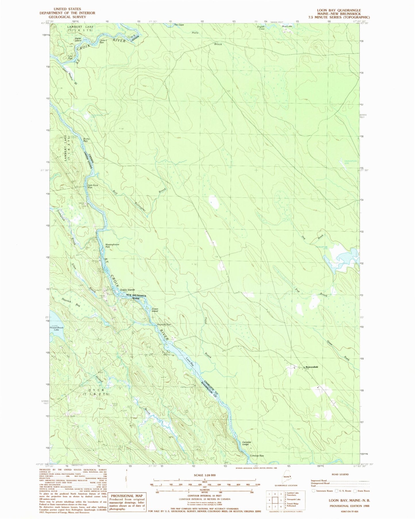
Historical USGS topographic quad map of Loon Bay in the state of Maine. Typical map scale is 1:24,000, but may vary for certain years, if available. Print size: 24" x 27"
This quadrangle is in the following counties: Washington.
The map contains contour lines, roads, rivers, towns, and lakes. Printed on high-quality waterproof paper with UV fade-resistant inks, and shipped rolled.
Contains the following named places: Canoose Rips, Crocker Camp (historical), Ellen Brook, Grassy Islands, Haycock Bog, Haycock Rips, Loon Bay, Meetinghouse Rips, Rocky Rips, Simsquish Brook, Tyler Rips, Split Rock Rips, Cedar Island Rips, Cedar Island