MyTopo
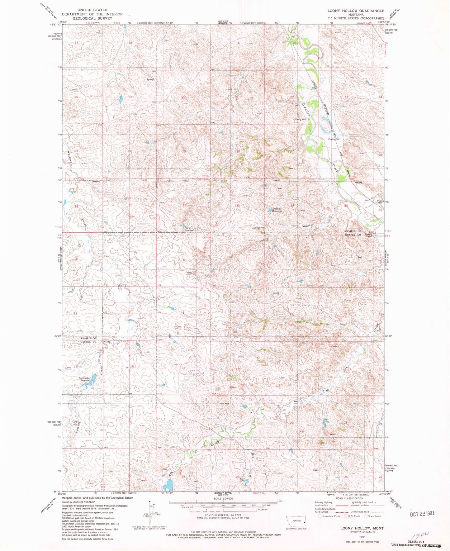
Classic USGS Loony Hollow Montana 7.5'x7.5' Topo Map
Regular price
$16.95
Regular price
Sale price
$16.95
Unit price
per
Couldn't load pickup availability
Historical USGS topographic quad map of Loony Hollow in the state of Montana. Map scale may vary for some years, but is generally around 1:24,000. Print size is approximately 24" x 27"
This quadrangle is in the following counties: Custer, Prairie.
The map contains contour lines, roads, rivers, towns, and lakes. Printed on high-quality waterproof paper with UV fade-resistant inks, and shipped rolled.
Contains the following named places: 09N54E29DA__01 Well, 10N54E19AC__01 Well, 10N54E22DDCB01 Well, 10N54E29DACB01 Well, 10N54E30ADDB01 Well, Archdale Reservoir, Dry Creek, Gray Number 1 Dam, Horse Reservoir, Lacomb Siding, Loony Hollow, Marshall Dam, Shoemaker