MyTopo
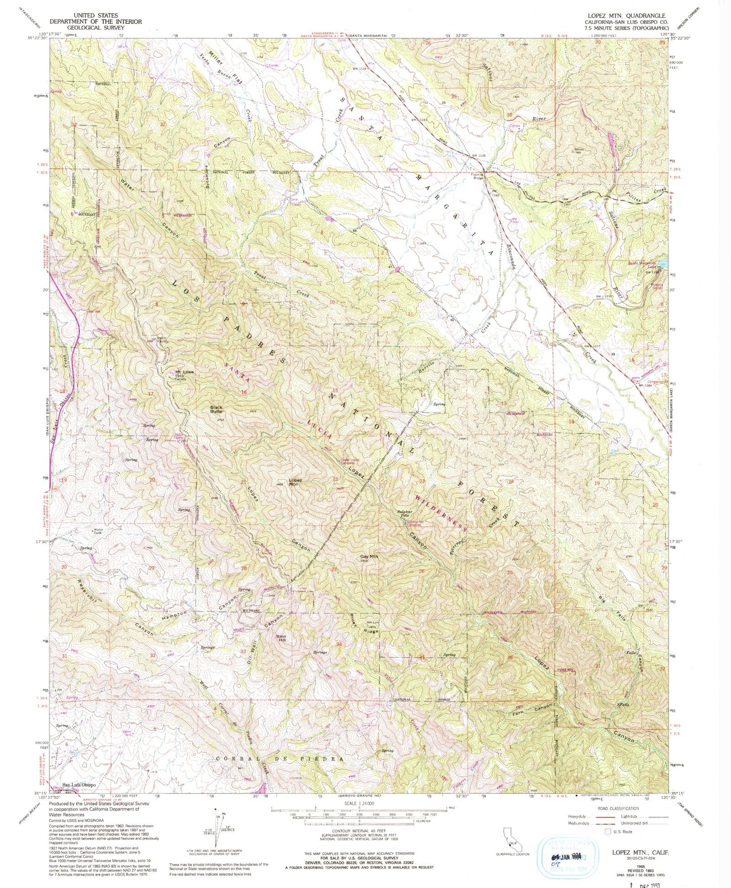
Classic USGS Lopez Mountain California 7.5'x7.5' Topo Map
Couldn't load pickup availability
Historical USGS topographic quad map of Lopez Mountain in the state of California. Typical map scale is 1:24,000, but may vary for certain years, if available. Print size: 24" x 27"
This quadrangle is in the following counties: San Luis Obispo.
The map contains contour lines, roads, rivers, towns, and lakes. Printed on high-quality waterproof paper with UV fade-resistant inks, and shipped rolled.
Contains the following named places: Fern Canyon, Sycamore Canyon, Big Falls Canyon, Black Butte, Burrito Creek, Fivemile Bridge, Gay Mountain, Hampton Canyon, Lopez Mountain, Miller Flat, Oil Well Canyon, Pilitas Creek, Piney Ridge, Potrero Creek, Rinconada Creek, Santa Margarita, Sulphur Pots, Upper Lopez Campground, Water Canyon, Sulphur Pot Rustic Campsite, Bald Hill, Mount Lowe, Salinas Dam, Santa Lucia Wilderness