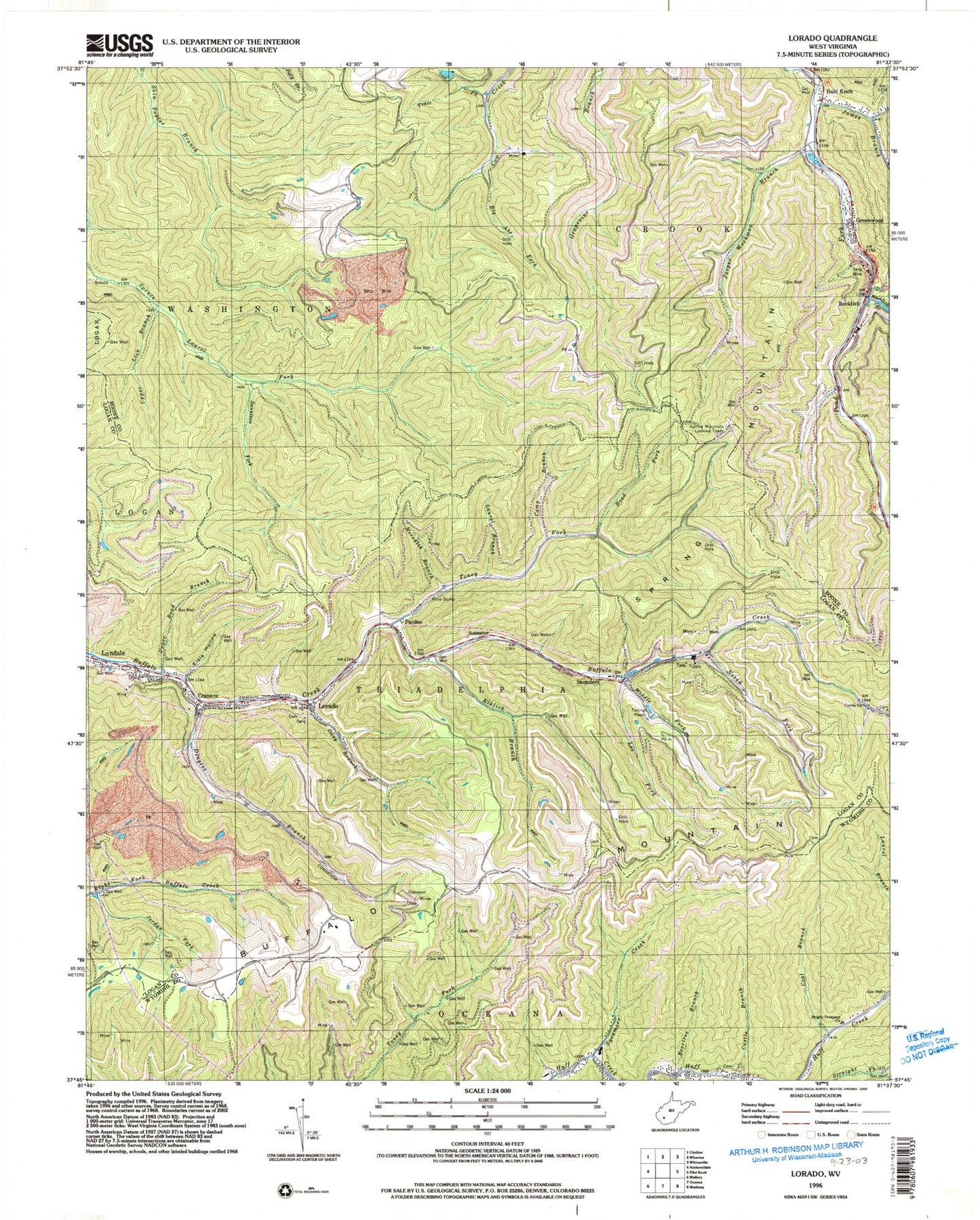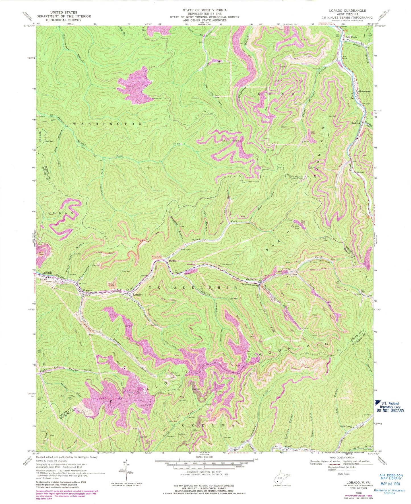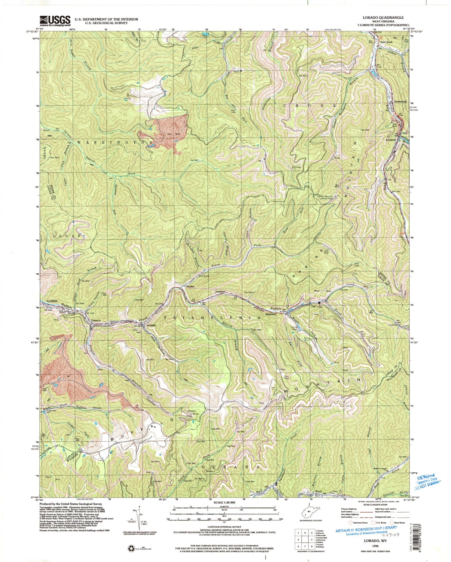
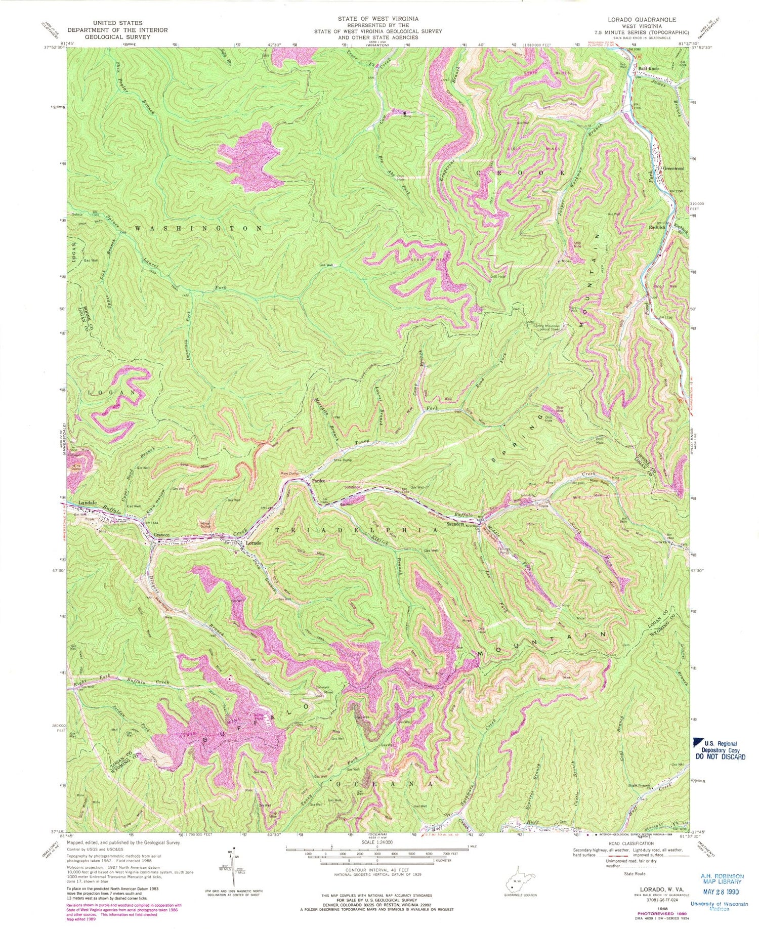
MyTopo
Classic USGS Lorado West Virginia 7.5'x7.5' Topo Map
Couldn't load pickup availability
Historical USGS topographic quad map of Lorado in the state of West Virginia. Typical map scale is 1:24,000, but may vary for certain years, if available. Print size: 24" x 27"
This quadrangle is in the following counties: Boone, Logan, Wyoming.
The map contains contour lines, roads, rivers, towns, and lakes. Printed on high-quality waterproof paper with UV fade-resistant inks, and shipped rolled.
Contains the following named places: Bald Knob, Beartree Branch, Big Abe Fork, Bright Prospect Church, Buffalo Mountain, Camp Branch, Castle Branch, Coal Branch, Curtis Church, Davy Branch, Dennison Fork, Dingess Branch, Elklick Branch, Elsie Hollow, James Branch, Jasper Workman Branch, Jordan Fork, Laurel Branch, Lee Fork, Lorado, Meredith Branch, Middle Fork Buffalo Creek, New Zion Church, North Fork Buffalo Creek, Road Branch Elementary and Middle School, Road Fork, Rocklick Branch, Spring Mountain, Sycamore Creek, Toney Fork, Trace Fork, Upper Lick Branch, Upper Road Branch, Slickrock Branch, Rocklick, Craneco, Greenwood, Lundale, Pardee, Saunders, Spring Mountain Lookout Tower, Bald Knob Post Office, Lorado Post Office, Brown-Browning Cemetery, Lorado Census Designated Place