MyTopo
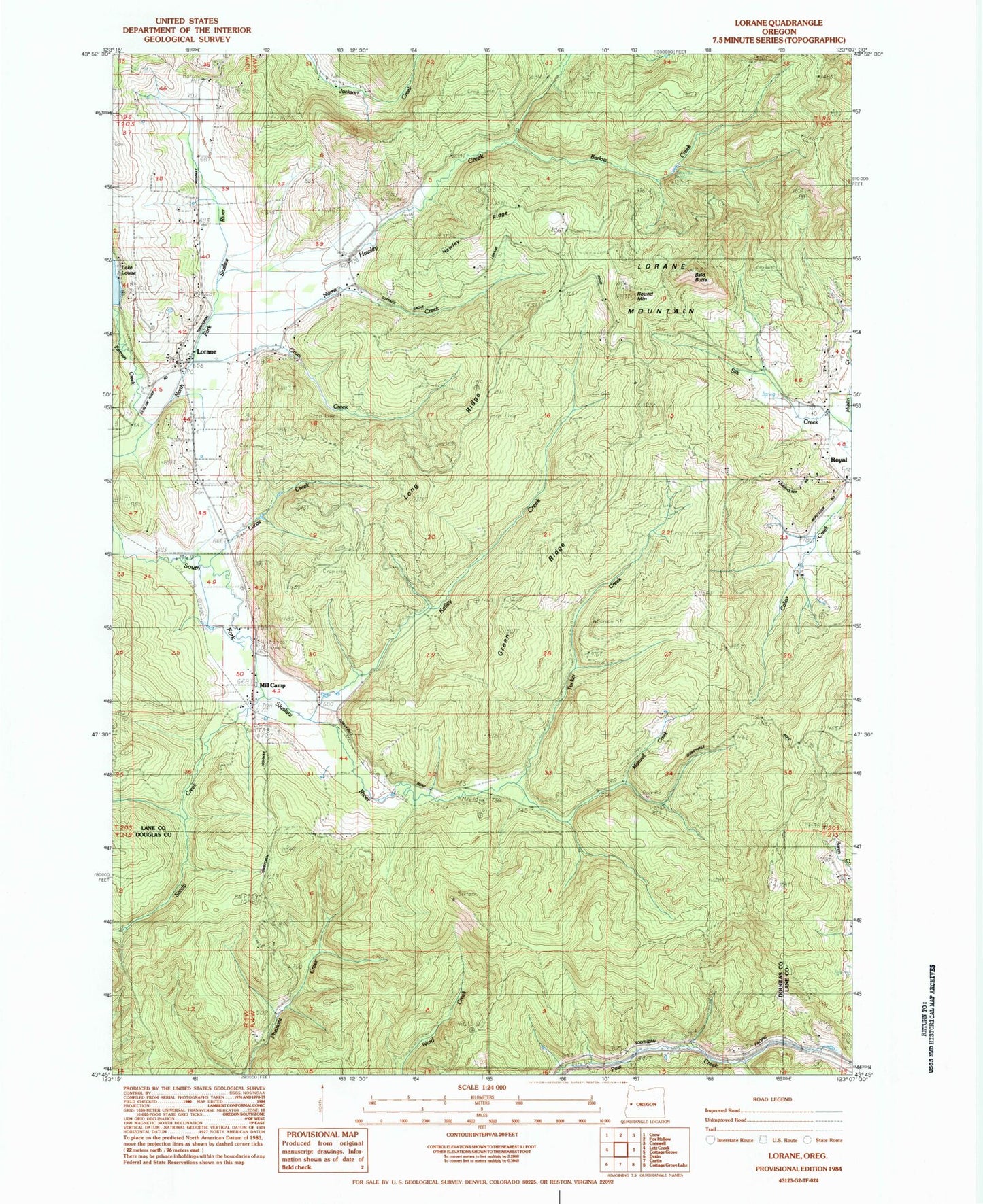
Classic USGS Lorane Oregon 7.5'x7.5' Topo Map
Couldn't load pickup availability
Historical USGS topographic quad map of Lorane in the state of Oregon. Map scale may vary for some years, but is generally around 1:24,000. Print size is approximately 24" x 27"
This quadrangle is in the following counties: Douglas, Lane.
The map contains contour lines, roads, rivers, towns, and lakes. Printed on high-quality waterproof paper with UV fade-resistant inks, and shipped rolled.
Contains the following named places: Alca, Bald Butte, Barlow Creek, Cartwrights Post Office, Crow Creek, Crow Family Cemetery, Farman Creek, Green Ridge, Hawley Creek, Hawley Ridge, Independent Order of Good Templars Cemetery, Kelley Creek, Long Ridge, Lorane, Lorane Elementary School, Lorane Mountain, Lorane Post Office, Lorane Rural Fire Protection District, Lucas Creek, Maxwell Creek, Mill Camp, Muslin Creek, Norris Creek, Nossaman Reservoir, Pass Creek State Wayside, Round Mountain, Royal, Royal Post Office, Sandy Creek, Silk Creek Cemetery, Silk Creek School, Tucker Creek