MyTopo
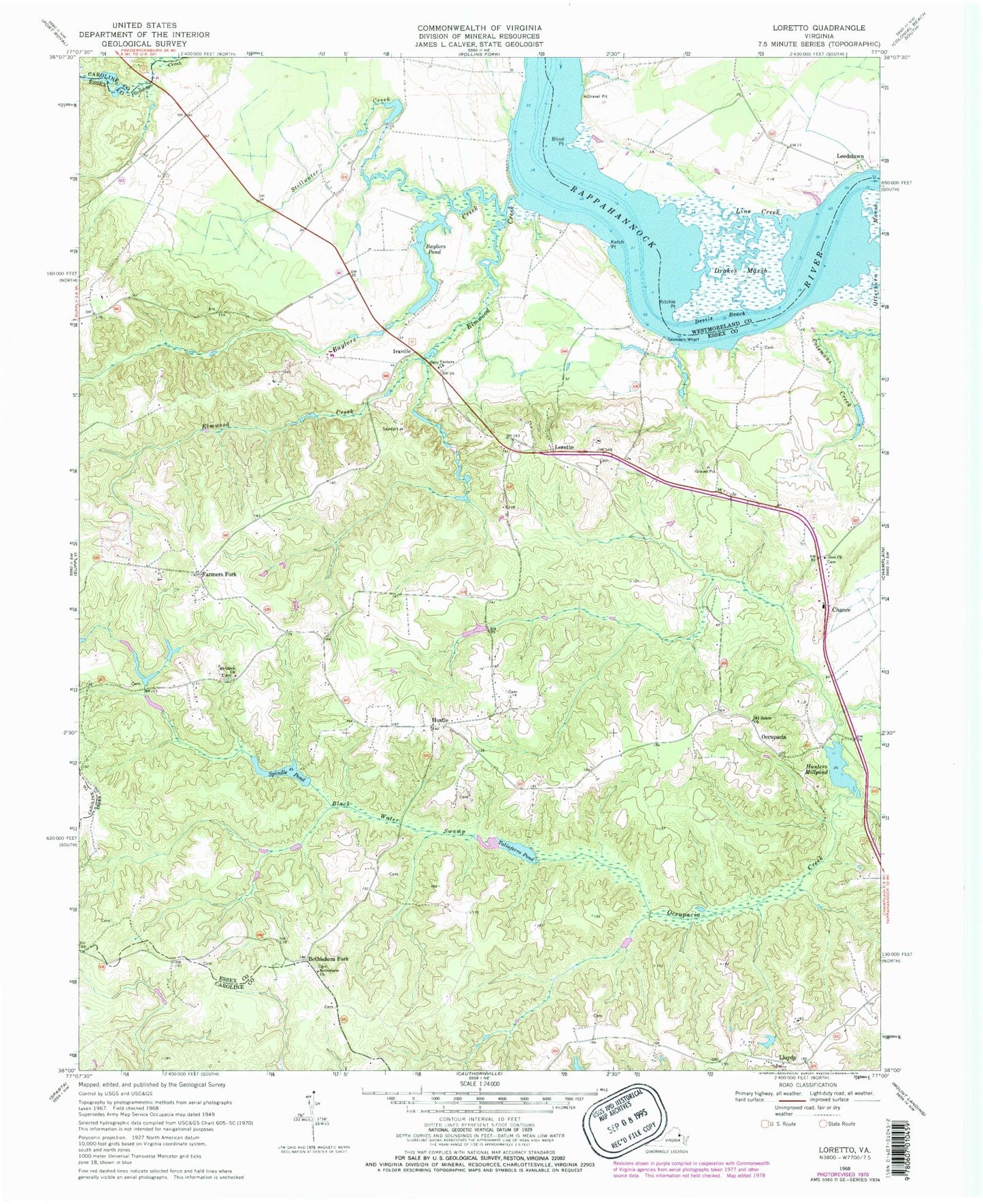
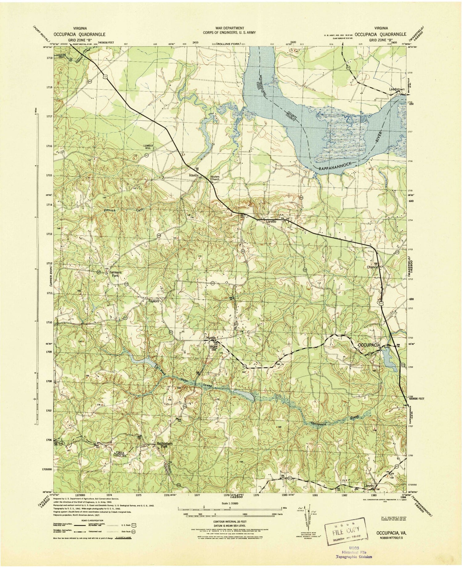
Classic USGS Loretto Virginia 7.5'x7.5' Topo Map
Couldn't load pickup availability
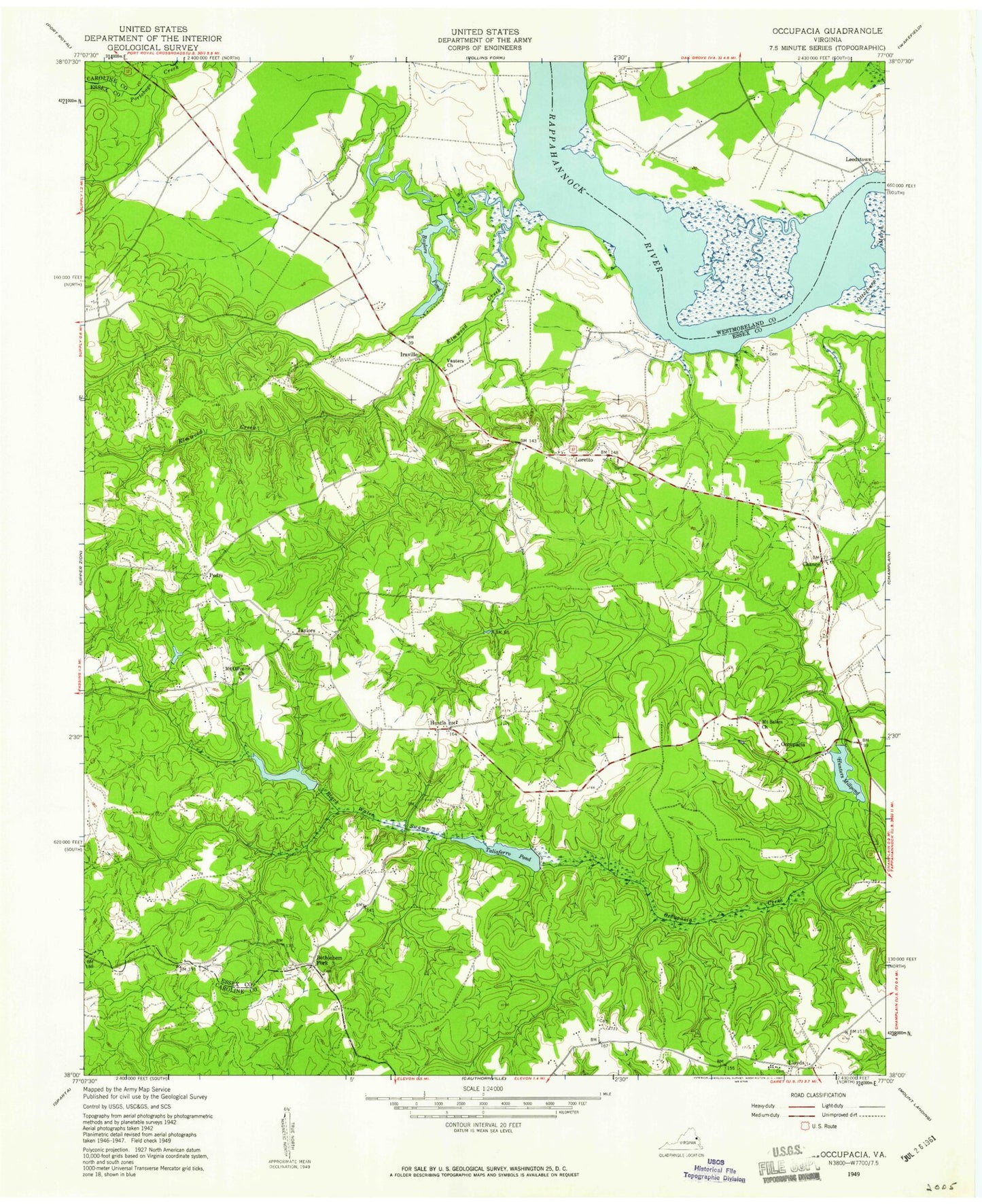
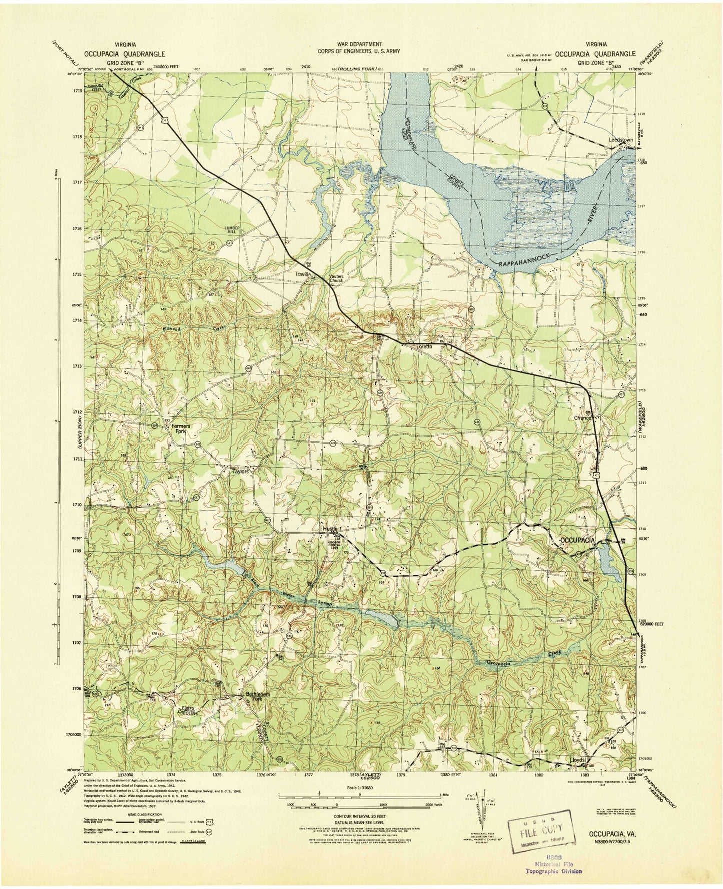
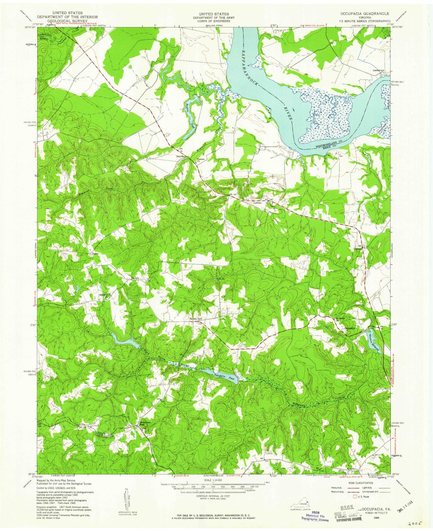
Historical USGS topographic quad map of Loretto in the state of Virginia. Map scale may vary for some years, but is generally around 1:24,000. Print size is approximately 24" x 27"
This quadrangle is in the following counties: Caroline, Essex, Westmoreland.
The map contains contour lines, roads, rivers, towns, and lakes. Printed on high-quality waterproof paper with UV fade-resistant inks, and shipped rolled.
Contains the following named places: Baylors Creek, Baylors Dam, Baylors Pond, Bethlehem Church, Bethlehem Fork, Black Water Swamp, Blind Point, Carmel Cemetery, Chance, Cockerel Creek, Devils Reach, Drakes Marsh, Elmwood Creek, Farmers Fork, Hunters Mill Dam, Hunters Millpond, Hustle, Hustle Post Office, Iraville, Ketch Point, Laundrums Creek, Line Creek, Lloyds, Loretto, Mount Olive Church, Mount Pleasant, Mount Pleasant Landing, Mount Salem Church, North District, Occupacia, Ritchie Point, Saunders Wharf, Spindle Pond, Spindles Mill Dam, Stillwater Creek, Taliaferro Mill Dam, Taliaferro Pond, Tappahannock - Essex Volunteer Fire Department Station 3, Taylors, Vauters Church, Vauters Churchyard, Zion Church, ZIP Codes: 22436, 22476, 22509