MyTopo
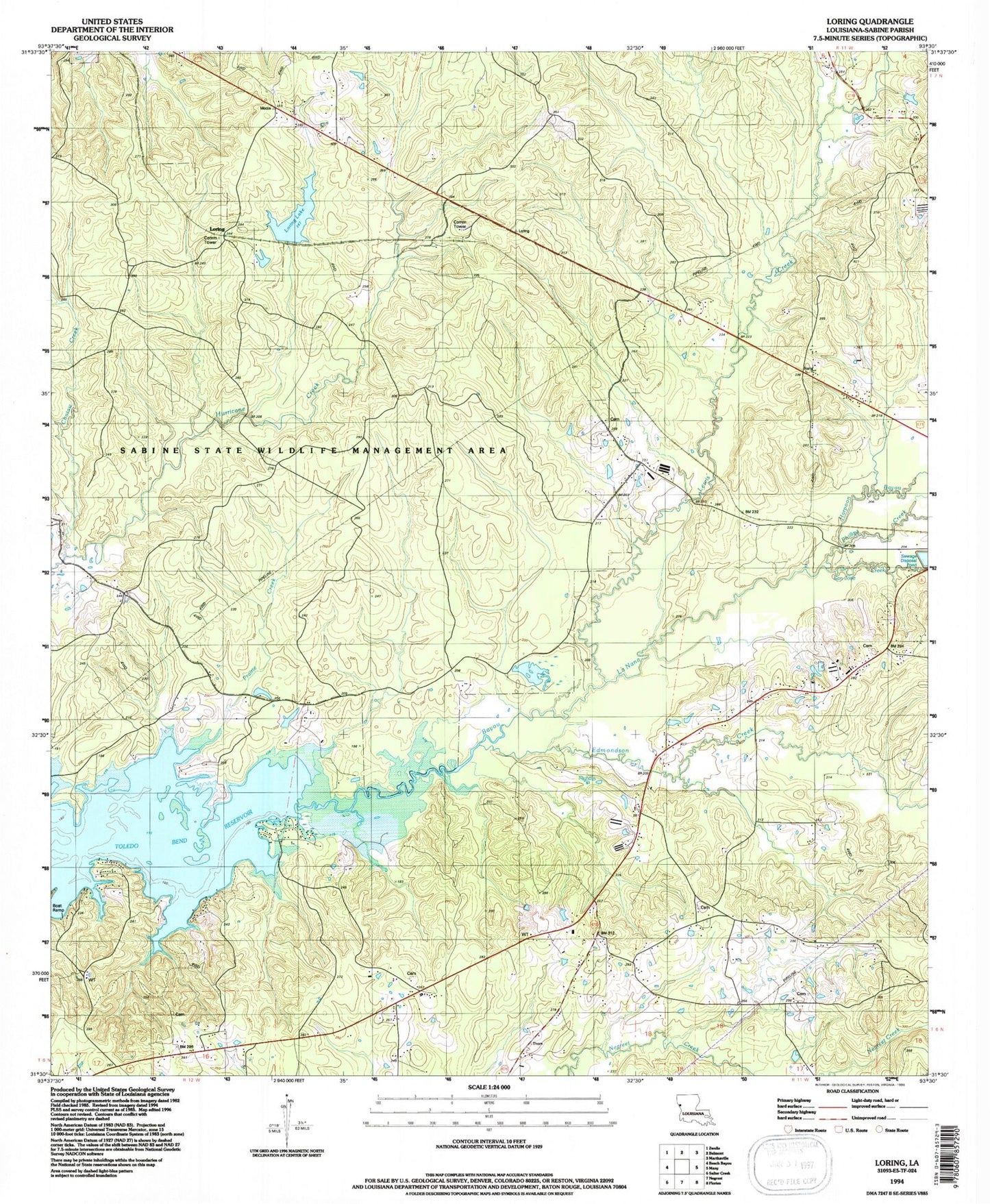
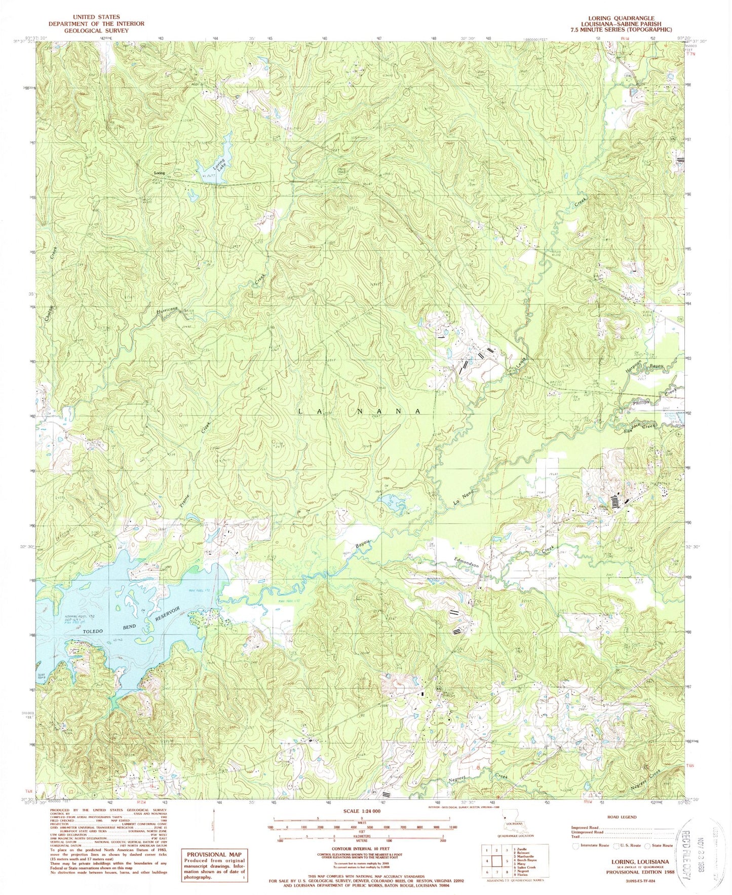
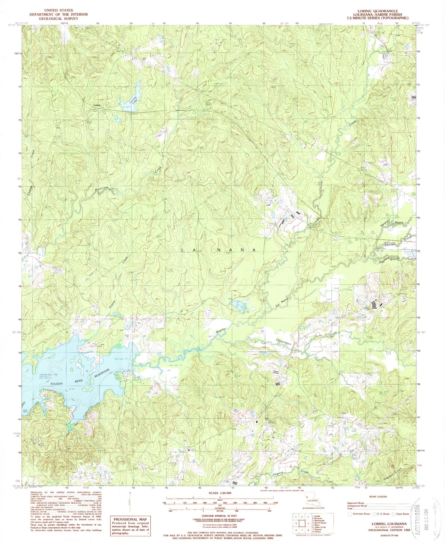
Classic USGS Loring Louisiana 7.5'x7.5' Topo Map
Couldn't load pickup availability
Historical USGS topographic quad map of Loring in the state of Louisiana. Map scale may vary for some years, but is generally around 1:24,000. Print size is approximately 24" x 27"
This quadrangle is in the following counties: Sabine.
The map contains contour lines, roads, rivers, towns, and lakes. Printed on high-quality waterproof paper with UV fade-resistant inks, and shipped rolled.
Contains the following named places: Anderson Cemetery, Apache Choctaw State Designated Tribal Statistical Area, Chotaw Creek, Church of Christ, Edmondson Creek, Fenders Cemetery, Harpoon Bayou, La Nana Grant, Lewis Creek, Loring, Loring Lake, Loring Lake Dam, Moss Ridge Church, Mount Olive Church, Mount Olive School, New Home Church, Oak Hill Church, Parish Governing Authority District 5, Phillips Creek, Pilgrim Rest Cemetery, Prairie Creek, Randolph Cemetery, Sabine Parish, San Jose Creek, Short Tree Church, Vine School, Vines Church, Zwolle Oil Field, ZIP Code: 71449