MyTopo
Classic USGS Lorraine Kansas 7.5'x7.5' Topo Map
Couldn't load pickup availability
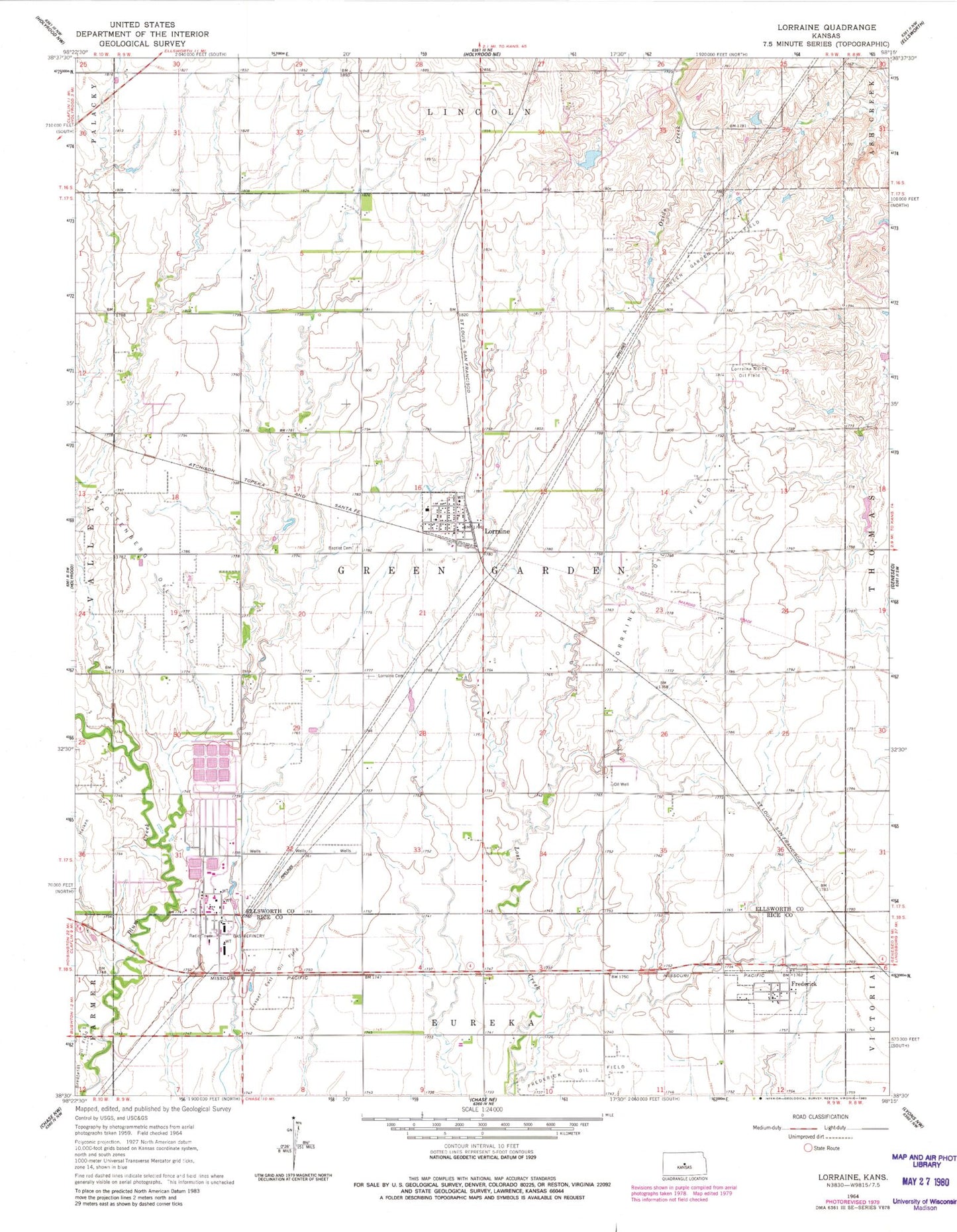
Historical USGS topographic quad map of Lorraine in the state of Kansas. Map scale may vary for some years, but is generally around 1:24,000. Print size is approximately 24" x 27"
This quadrangle is in the following counties: Ellsworth, Rice.
The map contains contour lines, roads, rivers, towns, and lakes. Printed on high-quality waterproof paper with UV fade-resistant inks, and shipped rolled.
Contains the following named places: Baptist Cemetery, Bredfeldt Oil Field, City of Frederick, City of Lorraine, Frederick, Green Garden Oil Field, Henry Family Cemetery, Lorraine, Lorraine Baptist Church, Lorraine Cemetery, Lorraine City Hall, Lorraine Fire Department, Lorraine North Oil Field, Lorraine Oil Field, Lorraine Wastewater Treatment Facility, Oxide, Prosper East Oil Field, Township of Green Garden, ZIP Code: 67459