MyTopo
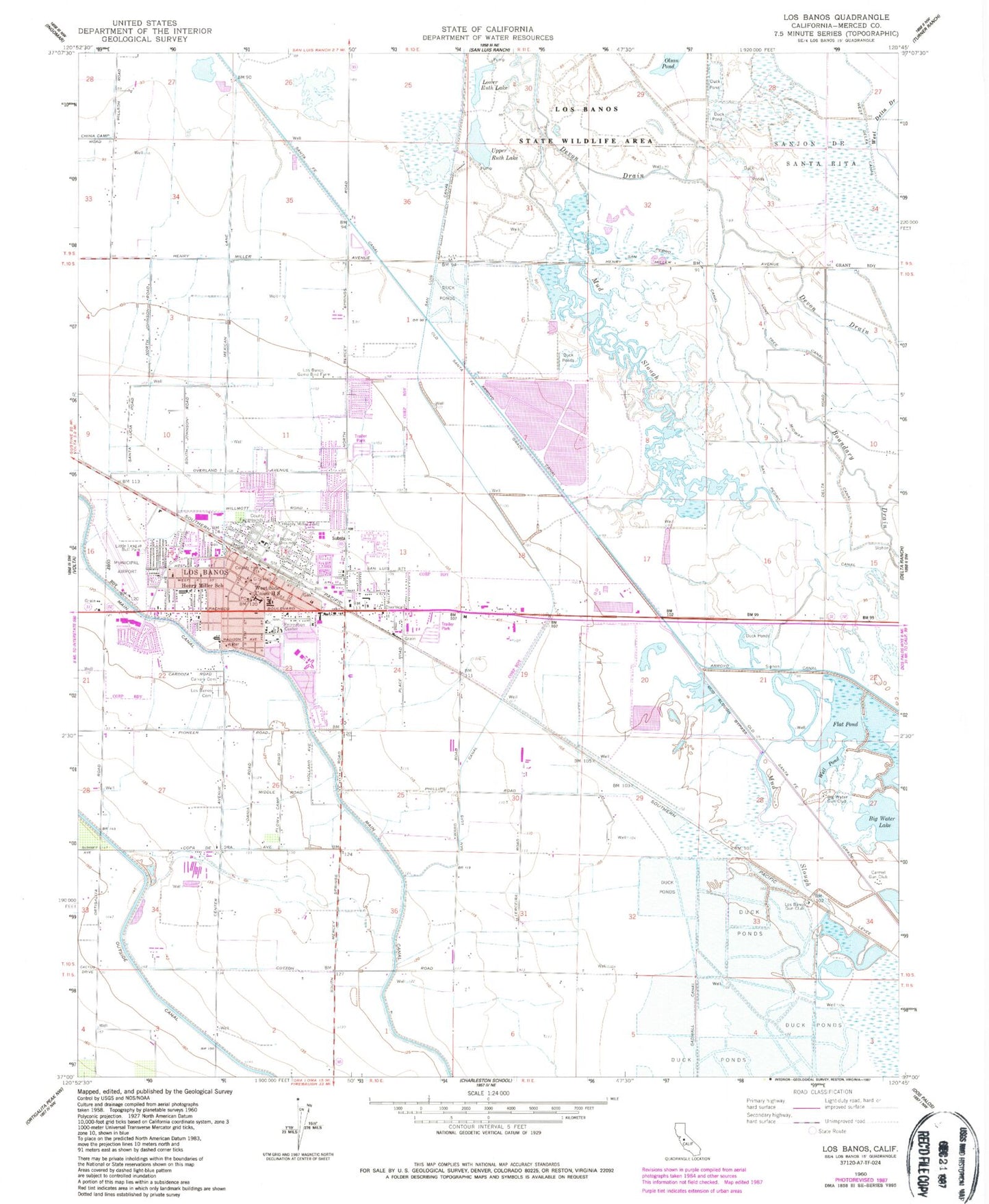
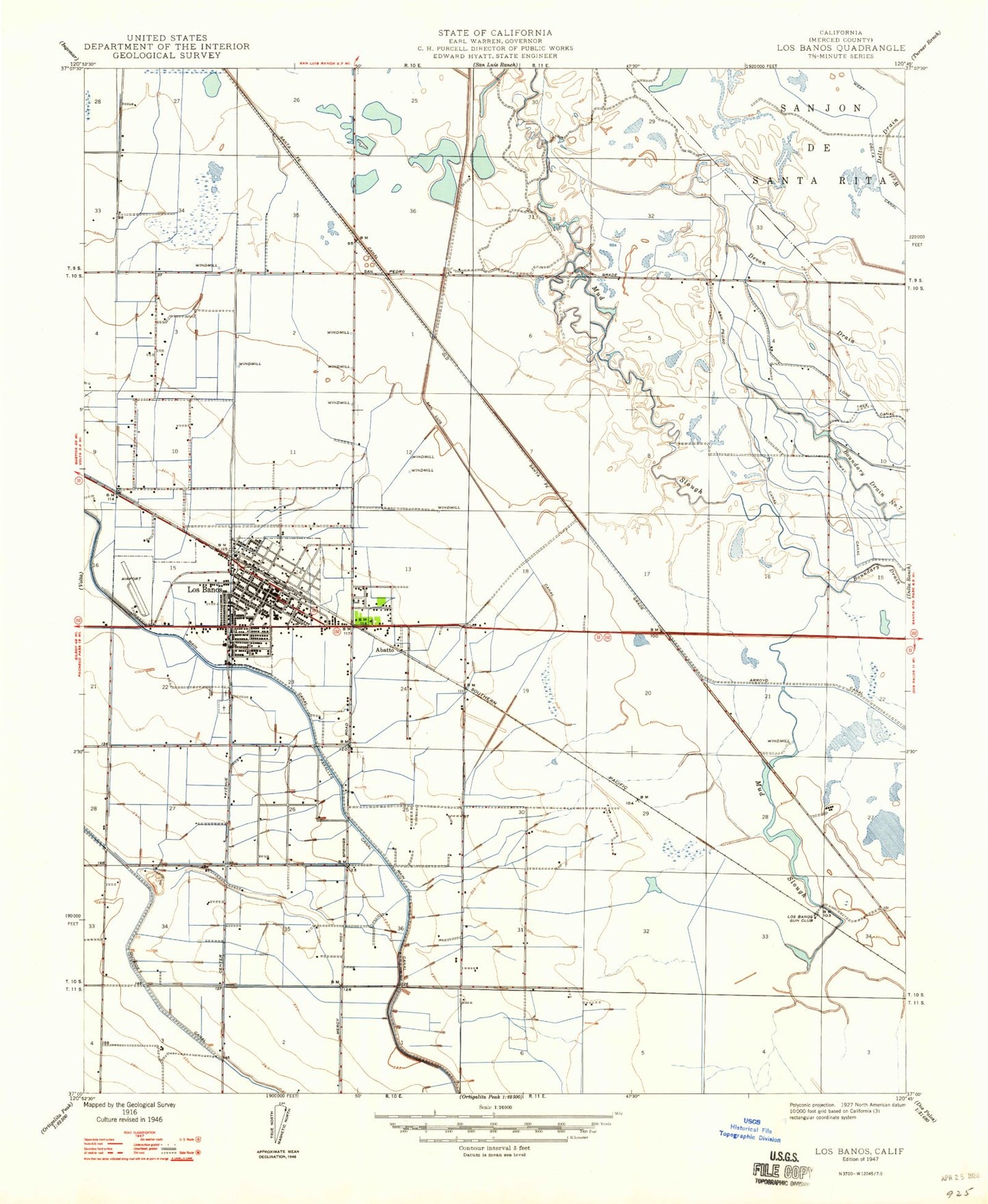
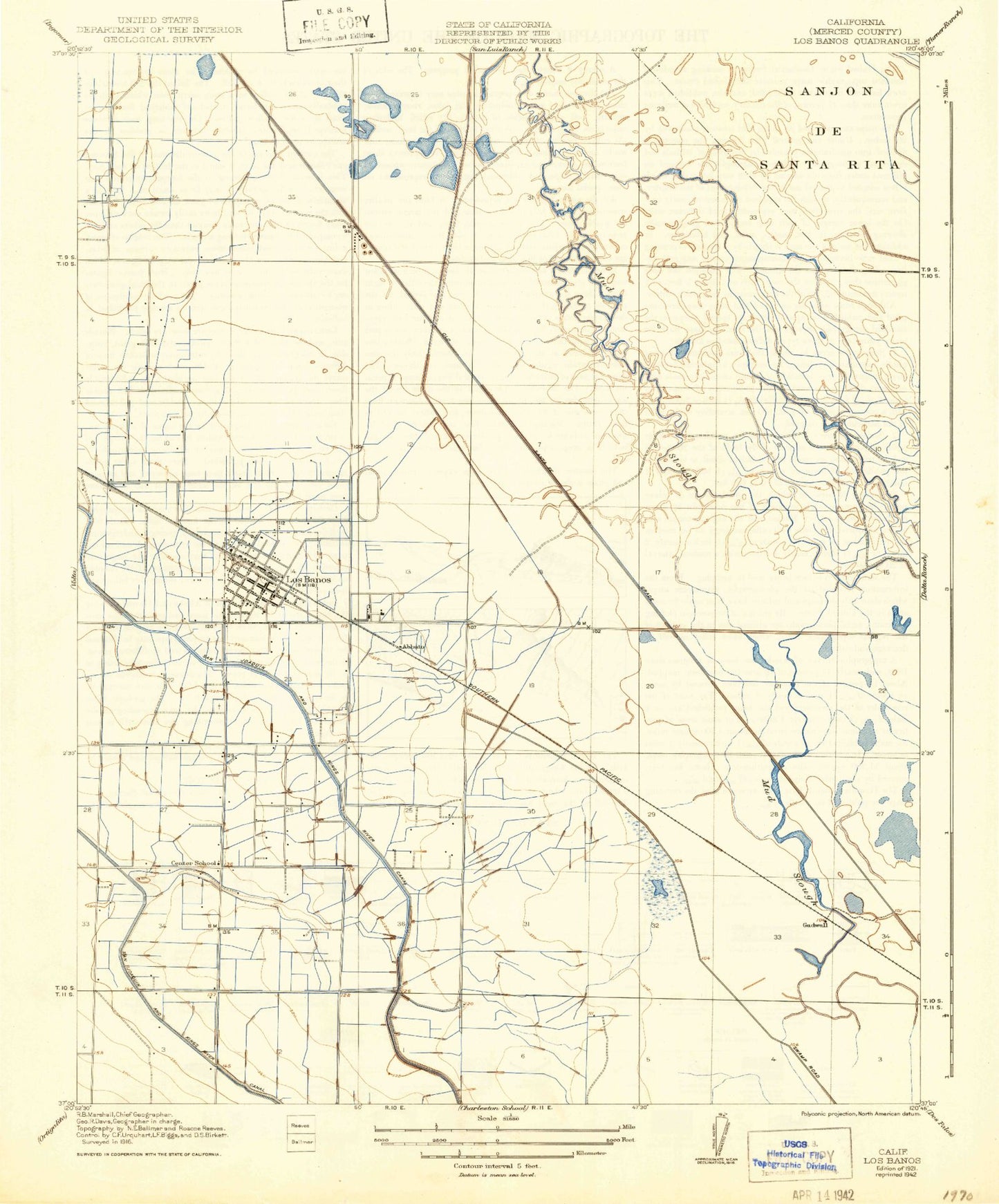
Classic USGS Los Banos California 7.5'x7.5' Topo Map
Couldn't load pickup availability
Historical USGS topographic quad map of Los Banos in the state of California. Map scale may vary for some years, but is generally around 1:24,000. Print size is approximately 24" x 27"
This quadrangle is in the following counties: Merced.
The map contains contour lines, roads, rivers, towns, and lakes. Printed on high-quality waterproof paper with UV fade-resistant inks, and shipped rolled.
Contains the following named places: Abbato, Airport Park, Big Water Gun Club, Big Water Lake, Boundary Drain, Boundary Drain Number One, California Highway Patrol Los Banos, Calvary Cemetery, Canal Farm Shopping Center, Canal Farm State Historic Landmark, Carmel Gun Club, Center School, City of Los Banos, Devon Drain, Flat Pond, Gadwall, Henry Miller Elementary School, Henry Miller Field, KLBS-AM (Los Banos), Los Banos, Los Banos Branch Merced County Library, Los Banos Cemetery, Los Banos City Hall, Los Banos Elementary School, Los Banos Fairgrounds Park, Los Banos Fire Department Station 1, Los Banos Fire Department Station 2, Los Banos Game Bird Farm, Los Banos Gun Club, Los Banos High School, Los Banos Junior High School, Los Banos Municipal Airport, Los Banos Police Department, Los Banos Post Office, Los Banos Regional Park, Los Banos Sewage 2023 Dam, Lower Ruth Lake, Merced County Fire Department Los Banos Fire Station 71, Merced County Sheriff's Office Los Banos Substation, Midway Canal, Milken Museum, Mud Slough, Mud Slough Bypass, National Shopping Center, Olson Pond, Our Lady of Fatima School, Page Park, R M Miano Elementary School, Rodoni Dairy Farms, San Luis High School, San Luis Plaza Shopping Center, San Pedro Canal, Sutter Health Memorial Hospital Los Banos, Upper Ruth Lake, Well Pond, West Delta Canal, West Side Union High School, ZIP Code: 93635


