MyTopo
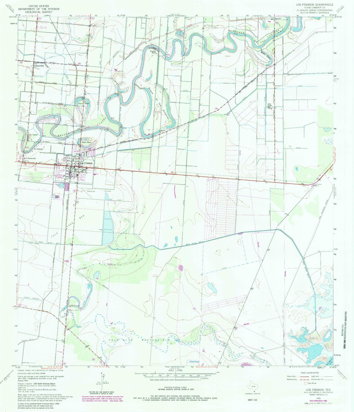
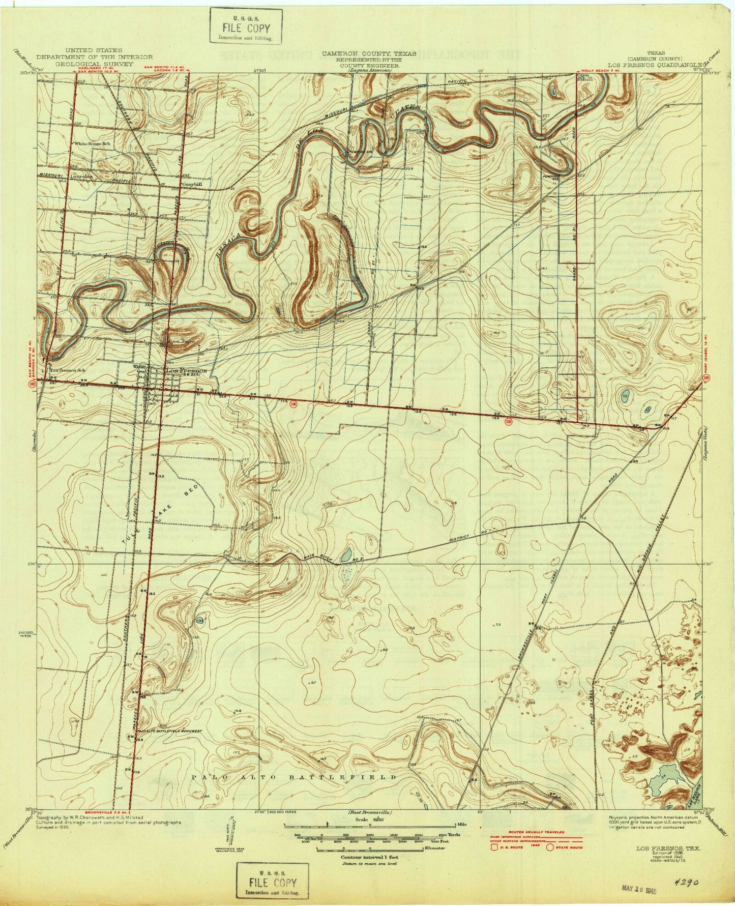
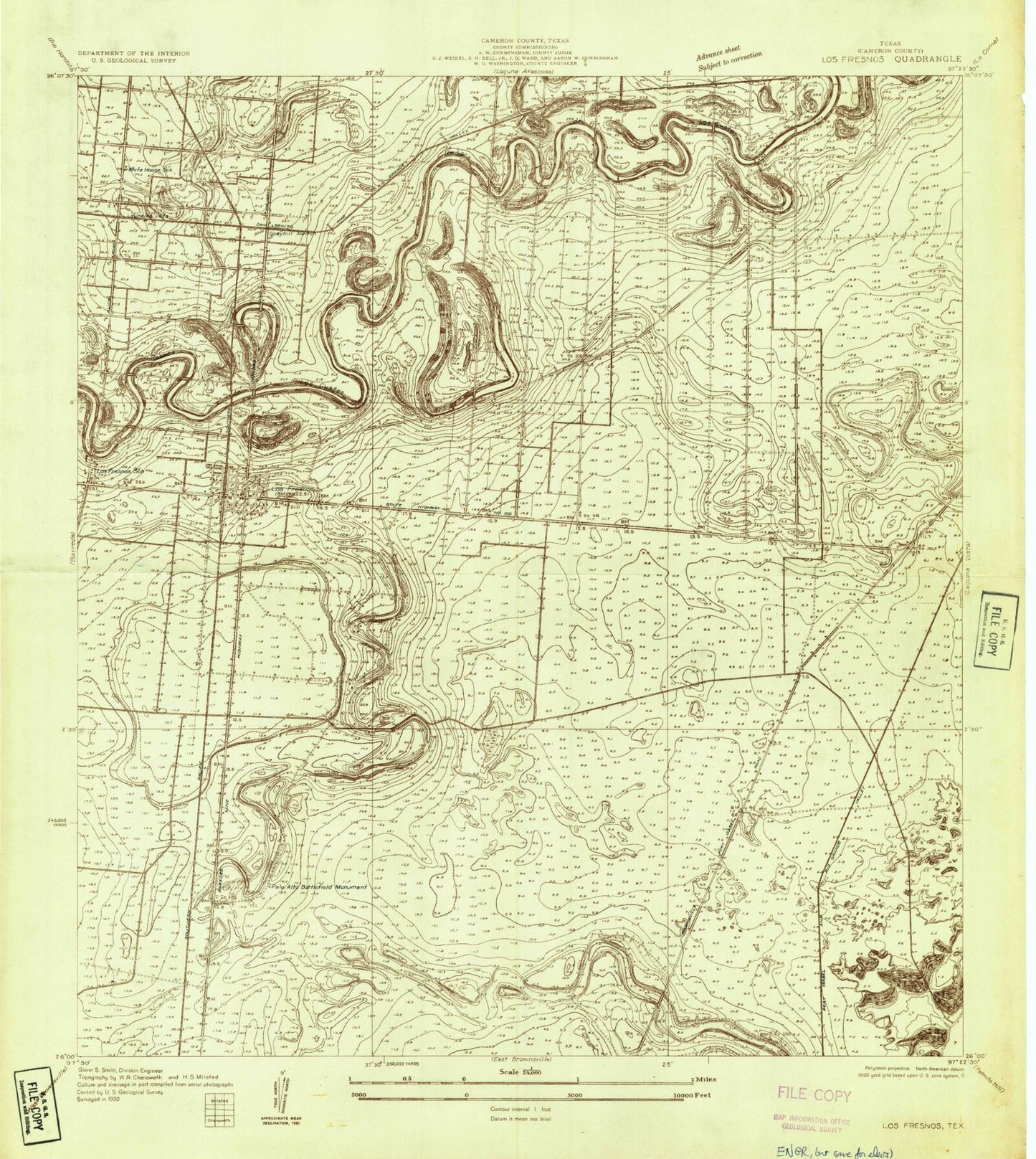
Classic USGS Los Fresnos Texas 7.5'x7.5' Topo Map
Couldn't load pickup availability
Historical USGS topographic quad map of Los Fresnos in the state of Texas. Map scale may vary for some years, but is generally around 1:24,000. Print size is approximately 24" x 27"
This quadrangle is in the following counties: Cameron.
The map contains contour lines, roads, rivers, towns, and lakes. Printed on high-quality waterproof paper with UV fade-resistant inks, and shipped rolled.
Contains the following named places: Agua Negra, Cameron County Constable's Office Precinct 6, Charco Hondo, Chula Vista Census Designated Place, Chula Vista Colonia, Chula Vista-Orason Census Designated Place, Church of Christ, City of Los Fresnos, Dana-Tule Levee 1 Dam, Dana-Tule Levee 2 Dam, Dana-Tule Reservoir 1, Dana-Tule Reservoir 2, Del Mar Heights, Del Mar Heights Census Designated Place, Del Mar Heights Colonia, Ditch Number Three, Drennan Farm Airport, Ethel L Whipple Memorial Library, First Baptist Church, Gray Farms, Historical Monument, La Penusca, Las Flores Colonia, Laureles, Laureles Census Designated Place, Lopez - Riggins Elementary School, Los Cuates, Los Fresnos, Los Fresnos Ambulance Service, Los Fresnos City Hall, Los Fresnos Elementary School, Los Fresnos High School, Los Fresnos Police Department, Los Fresnos Post Office, Los Fresnos Volunteer Fire Department, Los Fresnos-Laureles Division, Main Ditch Number Two, Orason Acres Colonia, Orason Census Designated Place, Palmer - Laakso Elementary School, Palo Alto Battlefield, Palo Alto Battlefield National Historical Park, Paredes Estates Colonia, Resaca de las Antonias, Resaca de los Cuates, Resaca Middle School, Resaca Reparo, Shoemaker Acres Colonia, Tule Lake Bed, Wardner Ranch


