MyTopo
Classic USGS Los Pilares New Mexico 7.5'x7.5' Topo Map
Couldn't load pickup availability
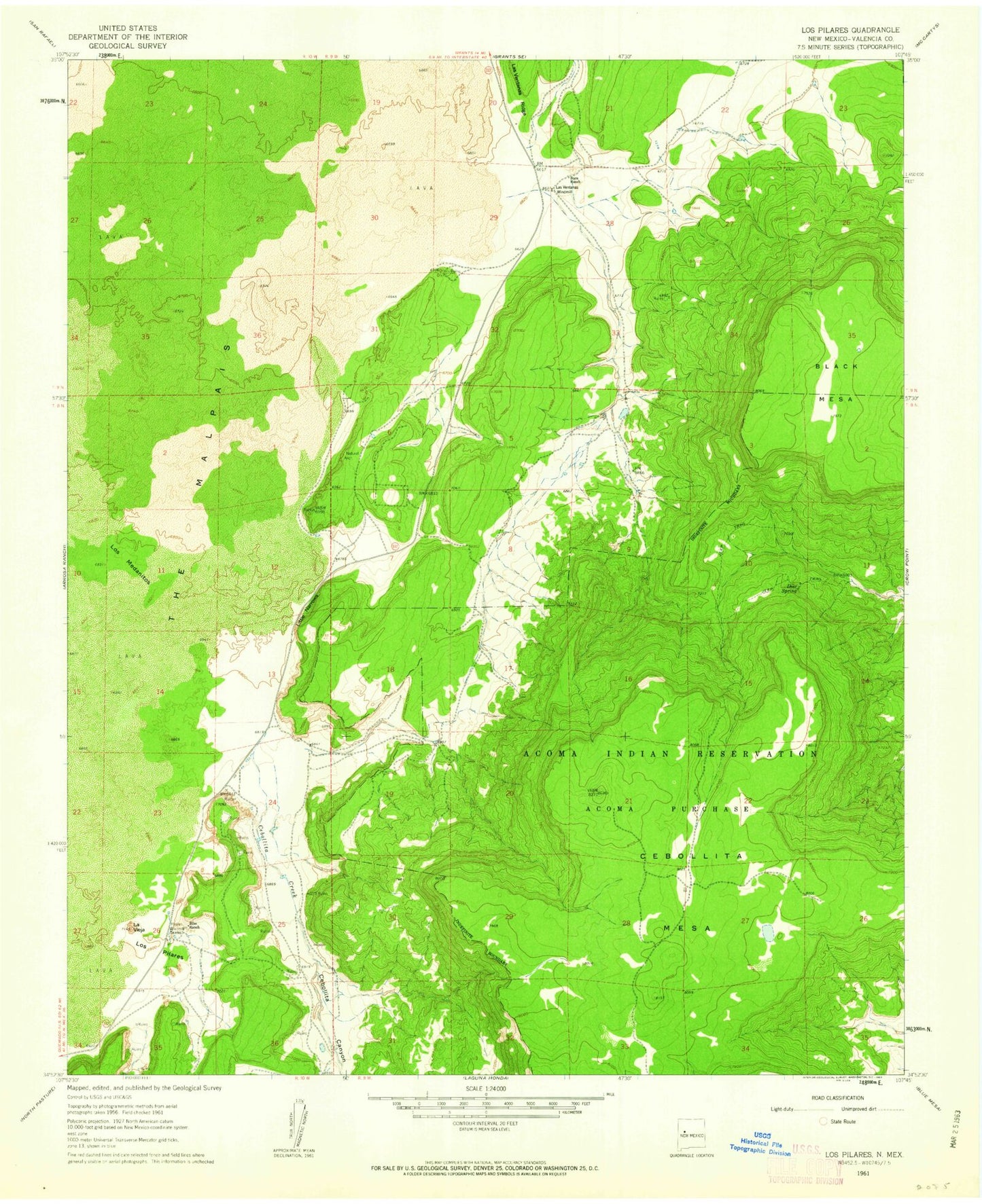
Historical USGS topographic quad map of Los Pilares in the state of New Mexico. Map scale may vary for some years, but is generally around 1:24,000. Print size is approximately 24" x 27"
This quadrangle is in the following counties: Cibola.
The map contains contour lines, roads, rivers, towns, and lakes. Printed on high-quality waterproof paper with UV fade-resistant inks, and shipped rolled.
Contains the following named places: Acoma Water Well, Baca Ranch, Berryhill Water Well, Bibo Ranch, Cebollita Canyon, Cebollita Creek, Deer Spring, Kowina Water Well, La Vieja, Las Ventanas Windmill, Little Narrows, Los Medanitos, Los Pilares, Los Water Well, North Cebollita Mesa, Pilares Water Well, Pilares Windmill, Sandstone Bluffs Arch, SB Water Well