MyTopo
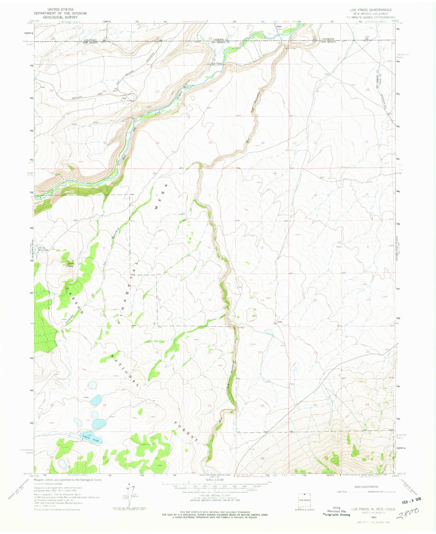
Classic USGS Los Pinos New Mexico 7.5'x7.5' Topo Map
Couldn't load pickup availability
Historical USGS topographic quad map of Los Pinos in the state of New Mexico. Map scale may vary for some years, but is generally around 1:24,000. Print size is approximately 24" x 27"
This quadrangle is in the following counties: Conejos, Rio Arriba, Taos.
The map contains contour lines, roads, rivers, towns, and lakes. Printed on high-quality waterproof paper with UV fade-resistant inks, and shipped rolled.
Contains the following named places: Big Horn Siding Rail Road Water Tank, Canada los Ranchos, Chino Peak, Chino Peak Tank, Chino Tank, Cisnero Mine Number One, Laguna Larga, Laguna Larga Camgpround, Lava, Lava Post Office, Llano Tank, Los Pinos, Pinabetal Mesa, Pit Tank, Pit Tank Number Three, Pit Tank Number Two, Rio de los Pinos, San Antonio Wilderness Study Area, T Bone Ranch