MyTopo
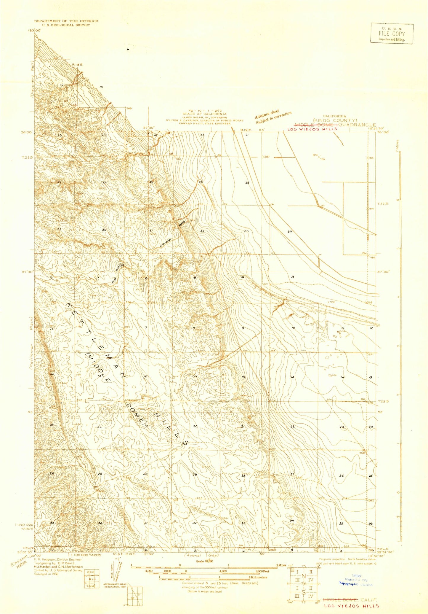
Classic USGS Los Viejos California 7.5'x7.5' Topo Map
Couldn't load pickup availability
Historical USGS topographic quad map of Los Viejos in the state of California. Map scale may vary for some years, but is generally around 1:24,000. Print size is approximately 24" x 27"
This quadrangle is in the following counties: Kings.
The map contains contour lines, roads, rivers, towns, and lakes. Printed on high-quality waterproof paper with UV fade-resistant inks, and shipped rolled.
Contains the following named places: Arroyo Culebrino, Arroyo del Conejo, Arroyo del Paso, Arroyo Estrecho, Arroyo Pino, Arroyo Recodo, Broken Hill, El Bulto, El Caballete, El Collado, El Portillo, Kettleman Station, La Bajada, La Brecha, La Cuba, La Escudilla, La Llanura, La Lomica, La Morra, La Porteria, La Rambla, La Salida, Las Alturas, Los Medanos, Los Viejos, Mid Ridge, Middle Dome, Mustang Hill, Parejo Hill, Pipe Hill