MyTopo
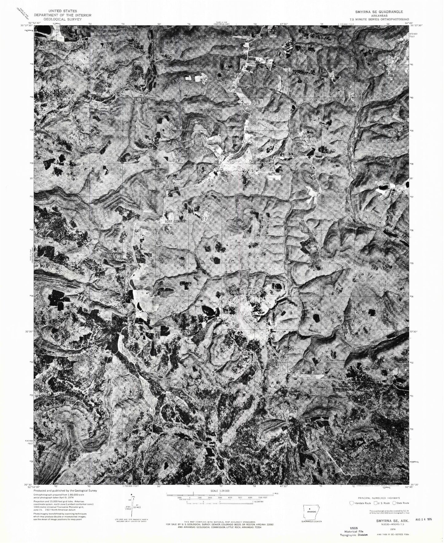
Classic USGS Lost Corner Arkansas 7.5'x7.5' Topo Map
Couldn't load pickup availability
Historical USGS topographic quad map of Lost Corner in the state of Arkansas. Typical map scale is 1:24,000, but may vary for certain years, if available. Print size: 24" x 27"
This quadrangle is in the following counties: Pope, Van Buren.
The map contains contour lines, roads, rivers, towns, and lakes. Printed on high-quality waterproof paper with UV fade-resistant inks, and shipped rolled.
Contains the following named places: Austin School, Campbell Hollow, Moccasin Hollow, Napier Hollow, New Hope School, Oak Mountain, Victor Millsaps Hollow, Lost Corner, John Mountain, Snowlick Mountain, New Hope Cemetery, Austin, Dry Creek, North Prong Brushy Fork, West Prong Brushy Fork, Northwood (historical), Okay (historical), Koones Gulf (historical), Township of White Oak (historical), Township of Hill (historical), Austin Ridge, Armstead Mountain, Kincannon Mountain, Stoebuck Mountain, Sweden Hollow, Wilson Creek, East Fork Wilderness, Schoolhouse Hollow, North Prong Brushy Fork, Hatley Mountain