MyTopo
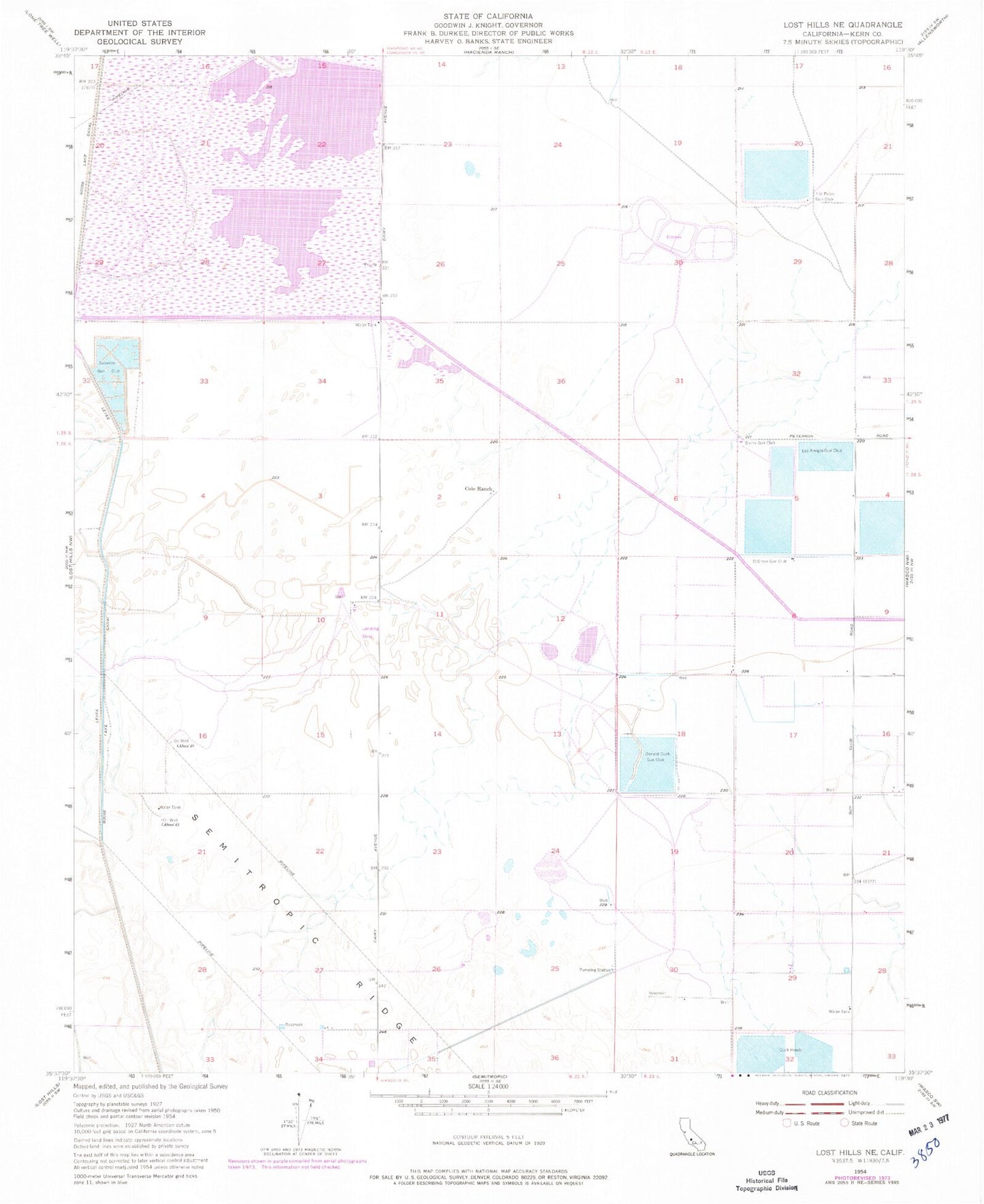
Classic USGS Lost Hills NE California 7.5'x7.5' Topo Map
Couldn't load pickup availability
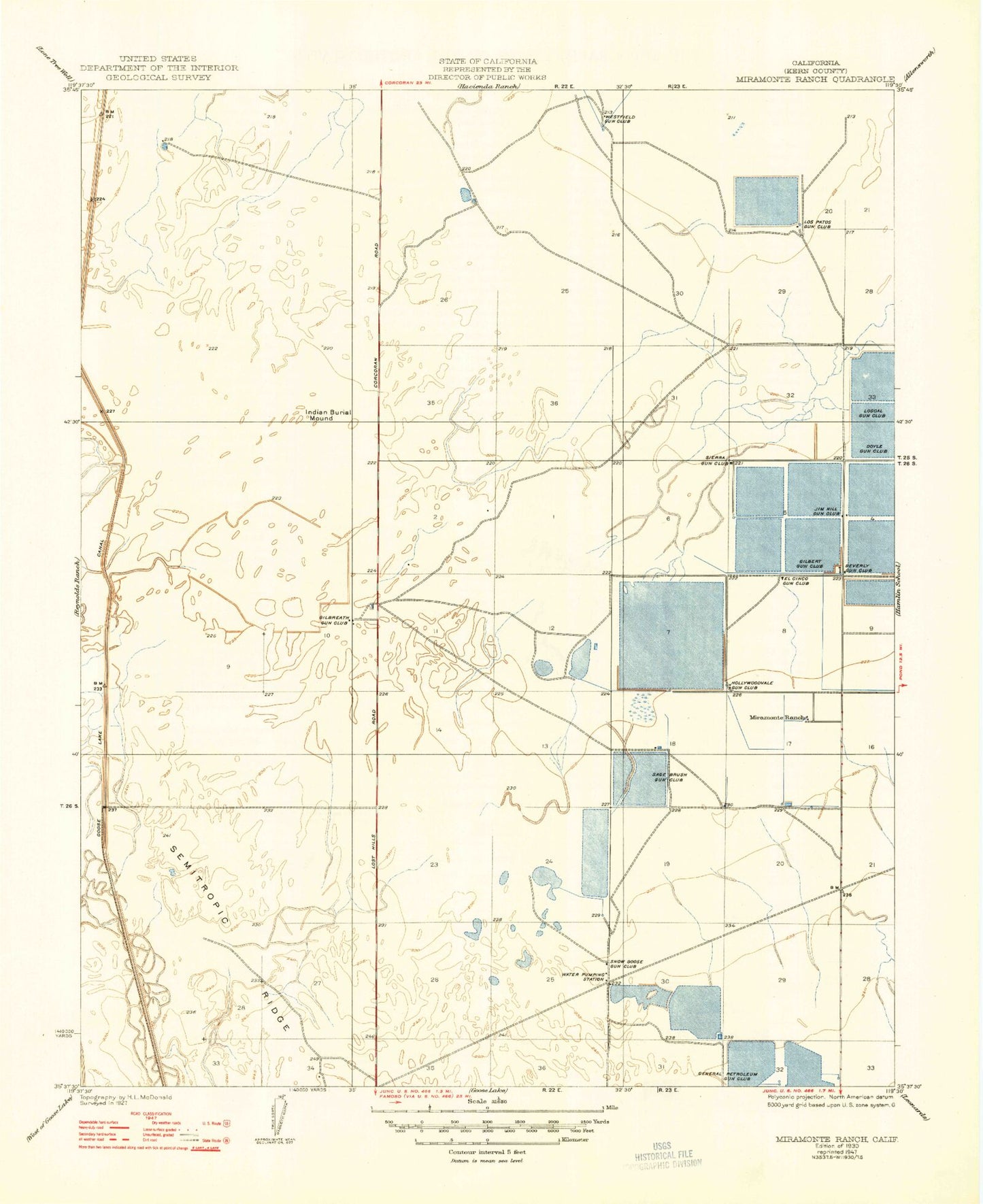
Historical USGS topographic quad map of Lost Hills NE in the state of California. Map scale may vary for some years, but is generally around 1:24,000. Print size is approximately 24" x 27"
This quadrangle is in the following counties: Kern.
The map contains contour lines, roads, rivers, towns, and lakes. Printed on high-quality waterproof paper with UV fade-resistant inks, and shipped rolled.
Contains the following named places: Beverly Gun Club, Boschma and Sons Dairy, Cole Ranch, Donald Duck Gun Club, Doyle Gun Club, El Cinco Gun Club, General Petroleum Gun Club, Gilbert Gun Club, Gilbreath Brothers Duck Club Airport, Gilbreath Gun Club, Goose Lake Canal, Hollywoodvale Gun Club, Jim Hill Gun Club, Kern National Wildlife Refuge, Los Amigos Gun Club, Los Patos Gun Club, Loscal Gun Club, Miramonte Ranch, Poso Creek Family Dairy, Sage Brush Well, Sierra Gun Club, Snow Goose Gun Club, Superior Gun Club, Westfield Gun Club


