
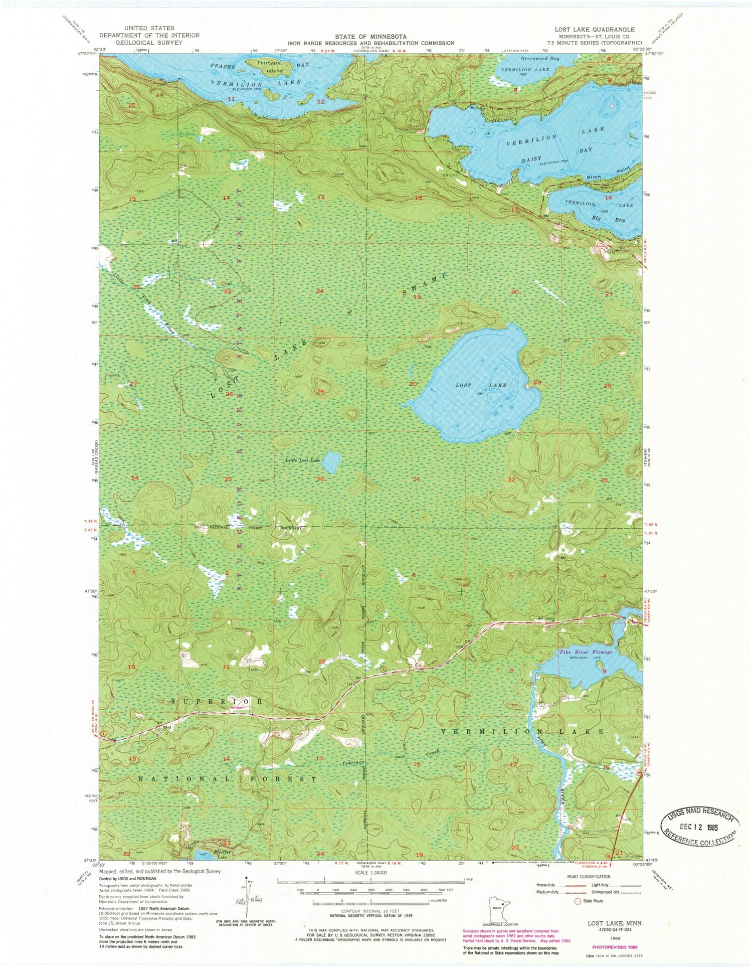
MyTopo
Classic USGS Lost Lake Minnesota 7.5'x7.5' Topo Map
Regular price
$16.95
Regular price
Sale price
$16.95
Unit price
per
Couldn't load pickup availability
Historical USGS topographic quad map of Lost Lake in the state of Minnesota. Map scale may vary for some years, but is generally around 1:24,000. Print size is approximately 24" x 27"
This quadrangle is in the following counties: St. Louis.
The map contains contour lines, roads, rivers, towns, and lakes. Printed on high-quality waterproof paper with UV fade-resistant inks, and shipped rolled.
Contains the following named places: Greenwood Township Volunteer Fire Department, Lehtinen Creek, Little Lost Lake, Lost Lake, Lost Lake Swamp, Pfeifer Lake Campground, Pike River Flowage, Taconite Trail, Thirtysix Island, Vermilion Lake


