
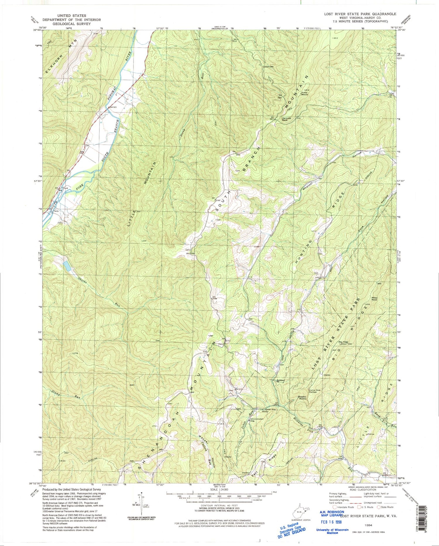
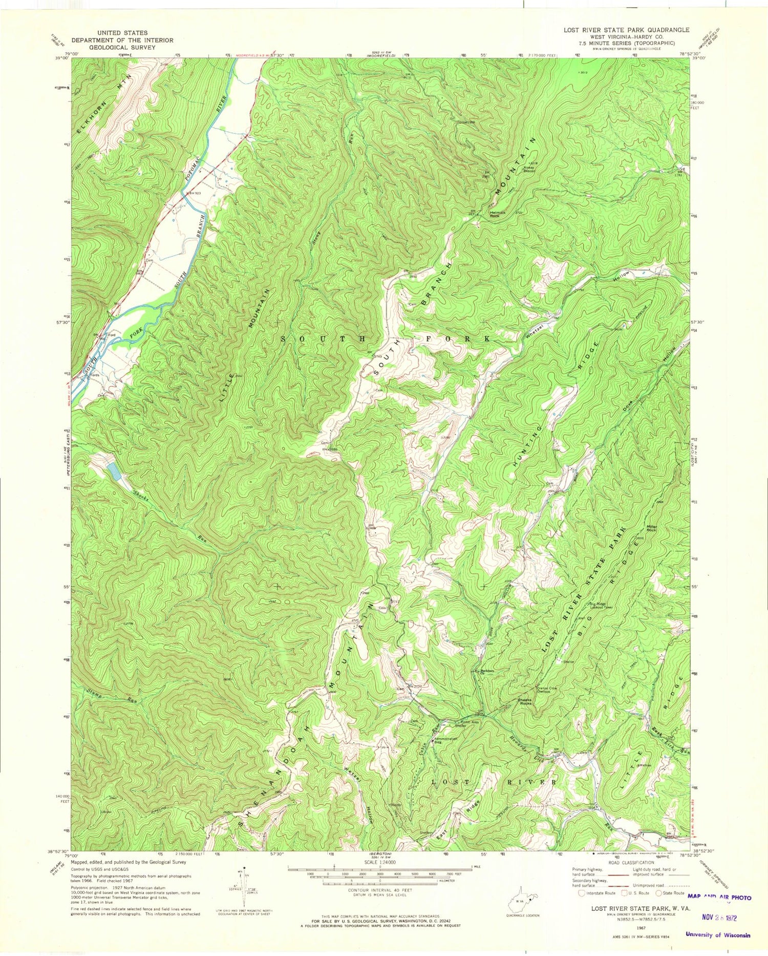
MyTopo
Classic USGS Lost River State Park West Virginia 7.5'x7.5' Topo Map
Couldn't load pickup availability
Historical USGS topographic quad map of Lost River State Park in the state of West Virginia. Map scale may vary for some years, but is generally around 1:24,000. Print size is approximately 24" x 27"
This quadrangle is in the following counties: Hardy.
The map contains contour lines, roads, rivers, towns, and lakes. Printed on high-quality waterproof paper with UV fade-resistant inks, and shipped rolled.
Contains the following named places: Big Ridge Lookout Tower, Buckhorn Church, Cabin Run, Cheeks Rocks, Cranny Crow Overlook, East Ridge, Harness Ford Bridge, Helmick Rock, Hunting Ridge, Lee Sulphur Spring, Little Mountain, Little Ridge, Lost River State Park, Miller Rock, South Fork Structure One Dam, Strawderman School, Topsy School, Wilkins School, ZIP Codes: 26812, 26836


