MyTopo
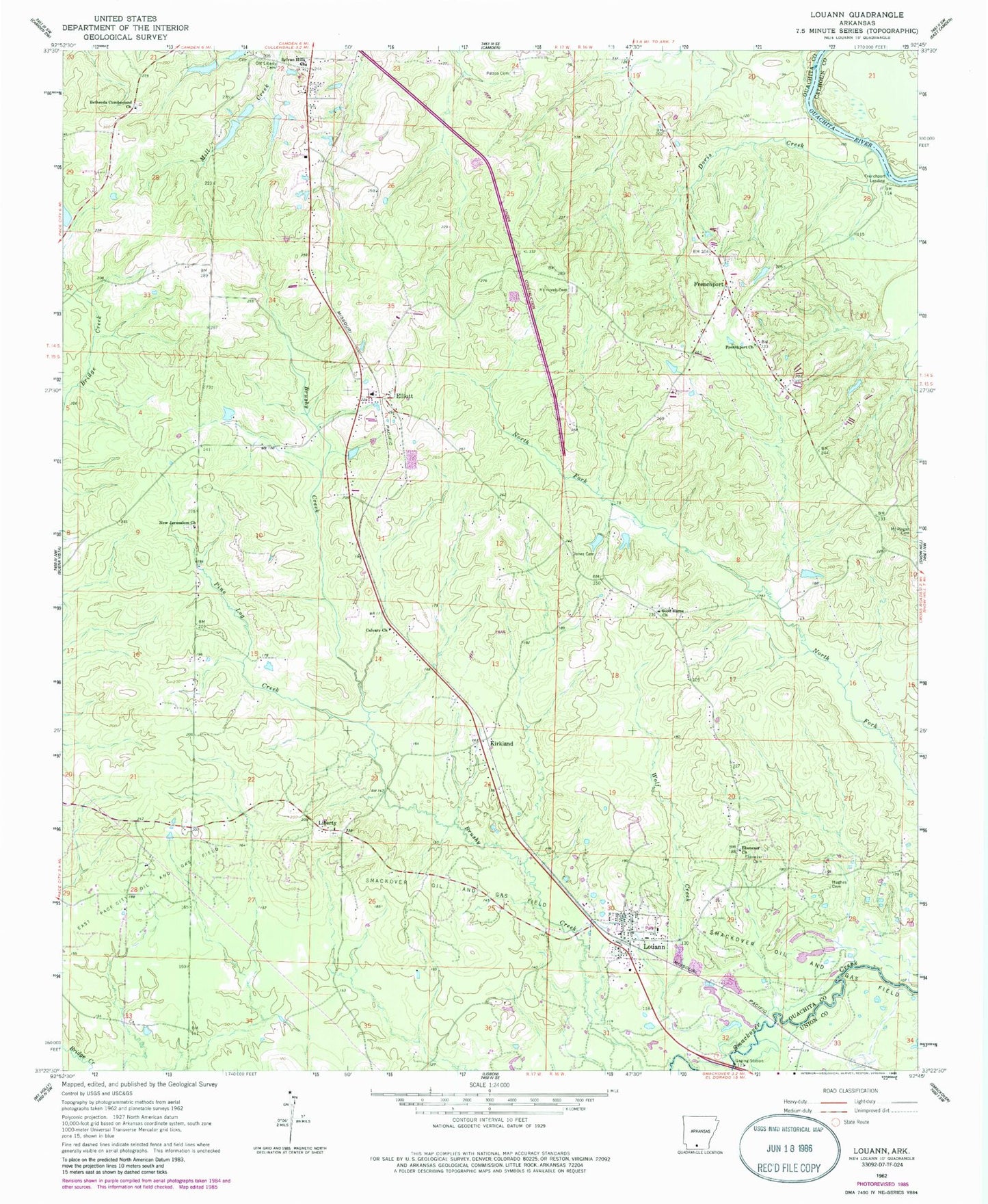
Classic USGS Louann Arkansas 7.5'x7.5' Topo Map
Couldn't load pickup availability
Historical USGS topographic quad map of Louann in the state of Arkansas. Map scale may vary for some years, but is generally around 1:24,000. Print size is approximately 24" x 27"
This quadrangle is in the following counties: Calhoun, Ouachita, Union.
The map contains contour lines, roads, rivers, towns, and lakes. Printed on high-quality waterproof paper with UV fade-resistant inks, and shipped rolled.
Contains the following named places: Bethesda Cumberland Church, Calvary Church, Doris Creek, East Pace City Oil and Gas Field, Ebenezer Cemetery, Ebenezer Church, Elliott, Elliott Baptist Church, Elliott Volunteer Fire Department Station, Frenchport, Frenchport Church, Frenchport Landing, Frenchport Volunteer Fire Department, Good Home Church, Hughes Cemetery, Jones Cemetery, Kirkland, Liberty, Louann, Louann Baptist Church, Louann Post Office, Louann Volunteer Fire Department, Mount Horeb Cemetery, Mount Pisgah Cemetery, New Jerusalem Church, Old Liberty Cemetery, Patton Cemetery, Pine Log Creek, Sylvan Hills Baptist Church, Town of Louann, Township of Bridge Creek, Wolf Creek, ZIP Code: 71751