MyTopo
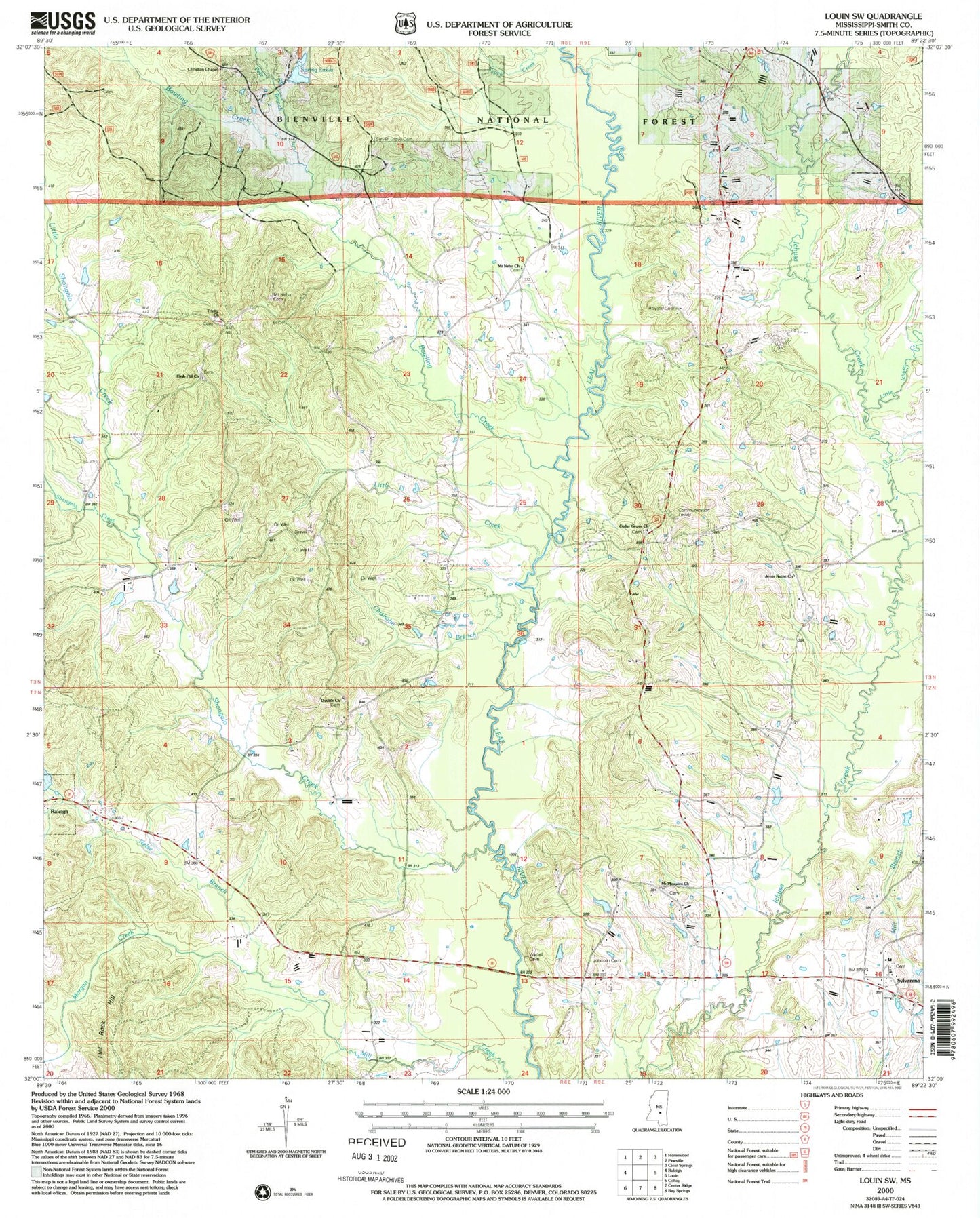
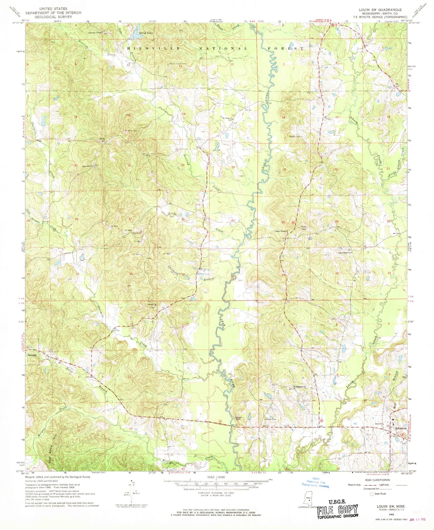
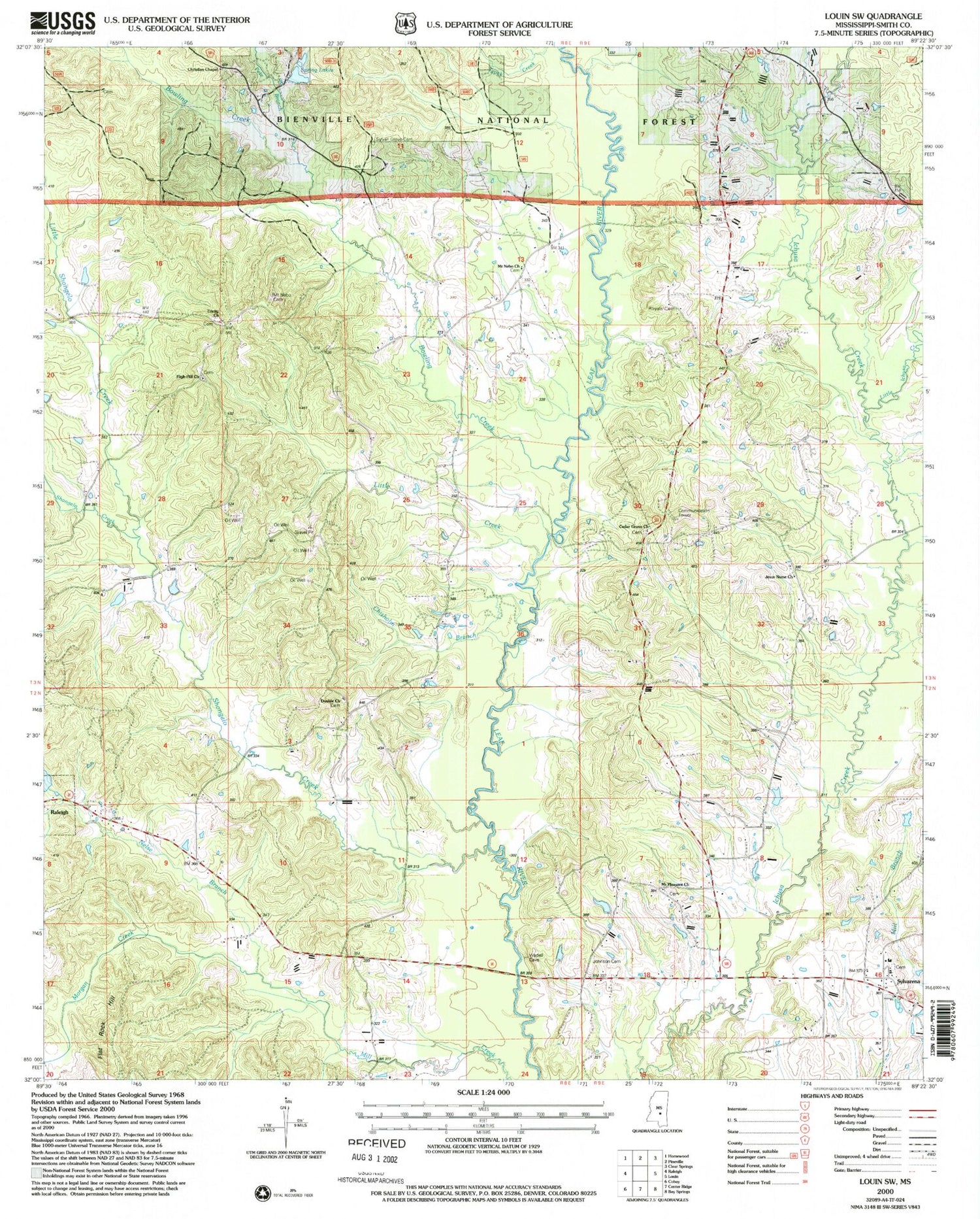
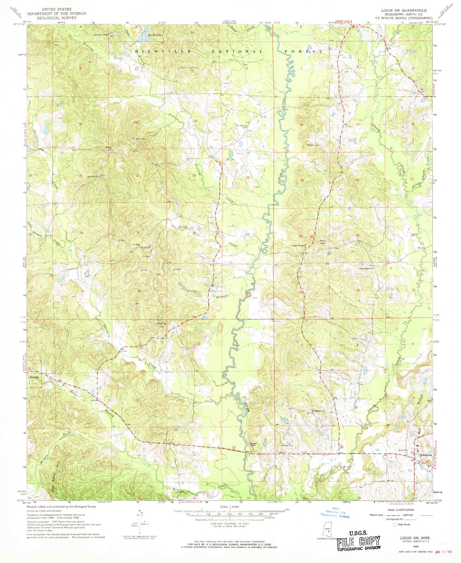
Classic USGS Louin SW Mississippi 7.5'x7.5' Topo Map
Couldn't load pickup availability
Historical USGS topographic quad map of Louin SW in the state of Mississippi. Map scale may vary for some years, but is generally around 1:24,000. Print size is approximately 24" x 27"
This quadrangle is in the following counties: Smith.
The map contains contour lines, roads, rivers, towns, and lakes. Printed on high-quality waterproof paper with UV fade-resistant inks, and shipped rolled.
Contains the following named places: Bailey Lake Dam, Bethel Church, Bowling Creek, Cedar Grove Church, Chisholm Branch, Christian Chapel, Craft School, Double Church, Flat Rock Hill, High Hill Baptist Church Cemetery, High Hill Church, Jesus Name Church, Johnson Cemetery, Lemon Christian Cemetery, Little Creek, Little Ichusa Creek, Little Shongelo Creek, Moore Cemetery, Morgan Creek, Mount Nebo Baptist Church Cemetery, Mount Nebo Cemetery, Mount Nebo Church, Mount Pleasant, Mount Pleasant Church, Nelse Branch, Old Henderson Cemetery, Pete Branch, Royal, Royals and Webb Cemetery, Saint Johns Methodist Church, Sand Point, Shongelo Creek, Shongelo Creek Oil Field, Spring Lakes, Sylvan Grove Cemetery, Sylvarena, Sylvarena Academy, Sylvarena Attendance Center, Teock Creek, Thompson Lake Dam, Trade, Trinity Cemetery, Trinity Methodist Church, Village of Sylvarena, ZIP Code: 39153


