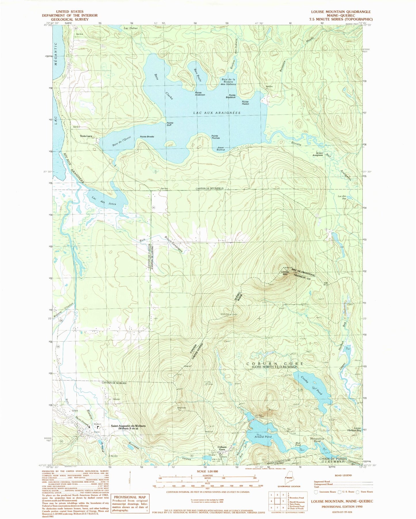
MyTopo
Classic USGS Louise Mountain Maine 7.5'x7.5' Topo Map
Regular price
$16.95
Regular price
Sale price
$16.95
Unit price
per
Couldn't load pickup availability
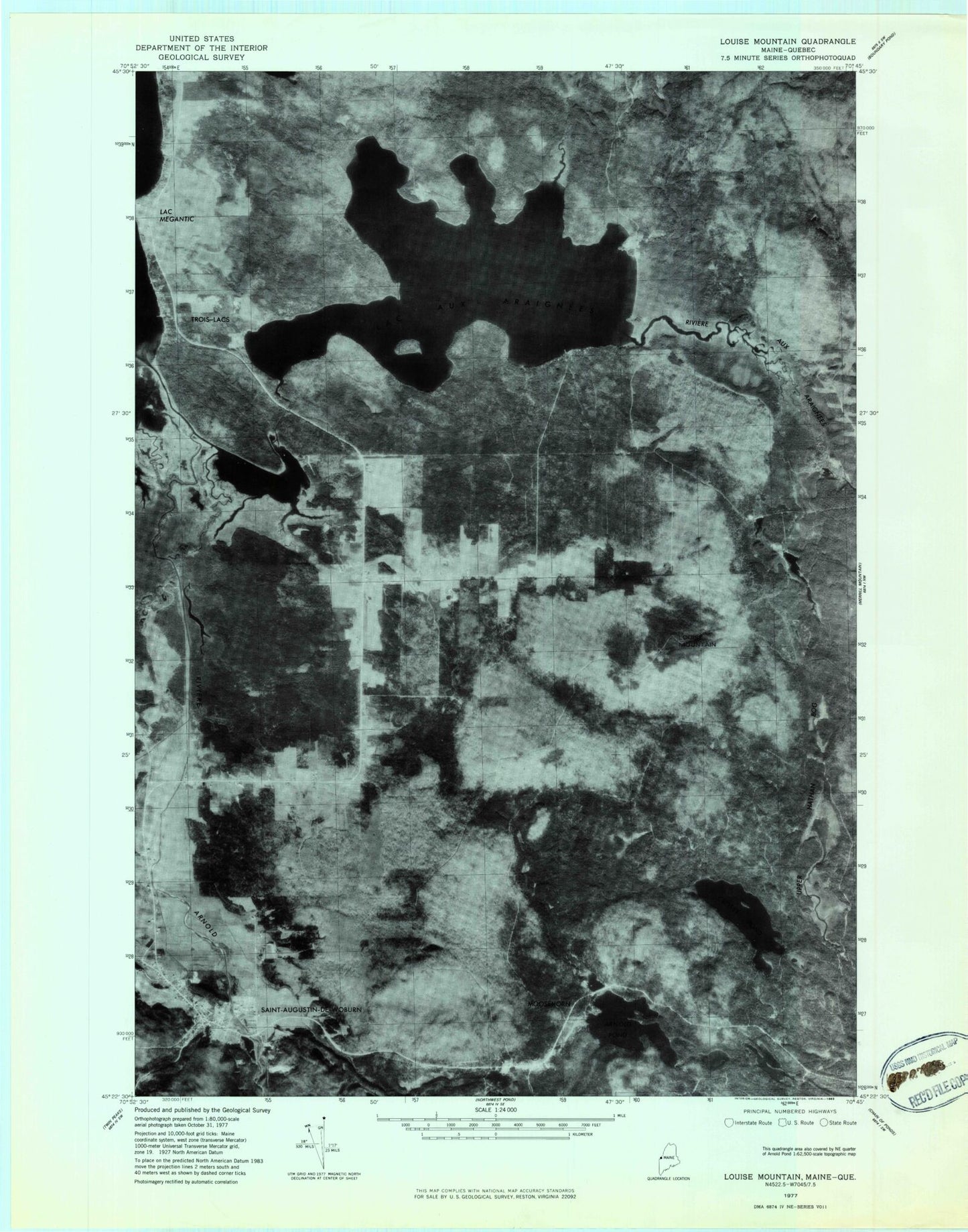
Historical USGS topographic quad map of Louise Mountain in the state of Maine. Map scale may vary for some years, but is generally around 1:24,000. Print size is approximately 24" x 27"
This quadrangle is in the following counties: Franklin.
The map contains contour lines, roads, rivers, towns, and lakes. Printed on high-quality waterproof paper with UV fade-resistant inks, and shipped rolled.
Contains the following named places: Arnold Pond, Arnold Pond Dam, Arnold Pond Inlet Dam, Arnold Trail, Coburn Gore, Crosby Pond, Horseshoe Pond, Louise Mountain, Lower Hathan Bog, Massachusetts Bog Stream, Moosehorn, Mud Pond, Tr-Arnold Pond, Upper Hathan Bog