MyTopo
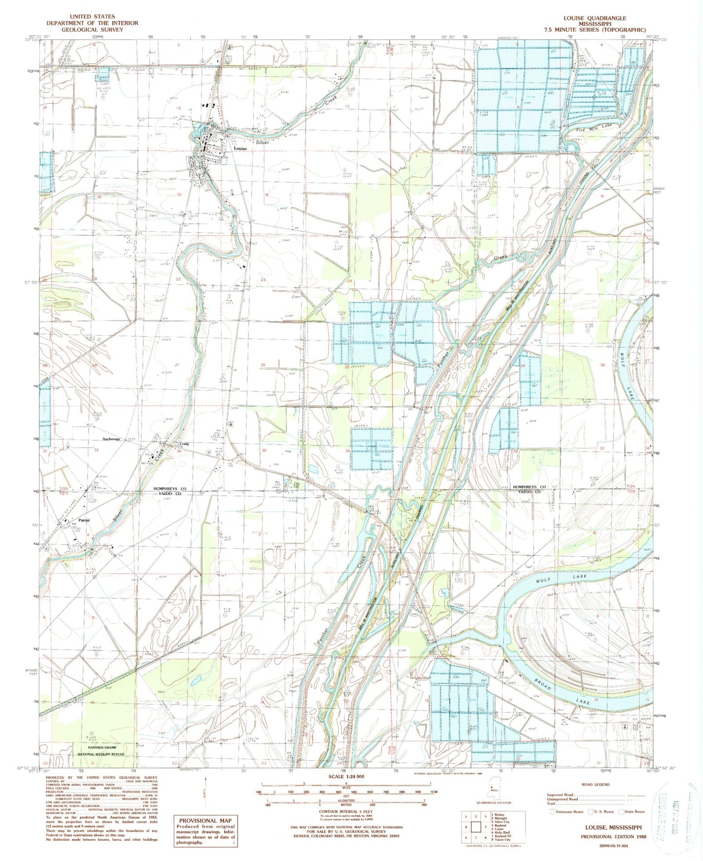
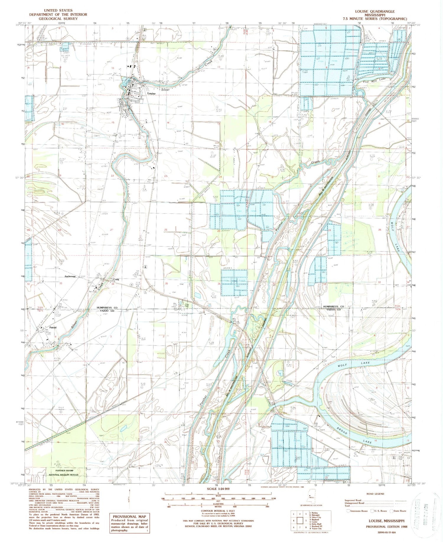
Classic USGS Louise Mississippi 7.5'x7.5' Topo Map
Couldn't load pickup availability
Historical USGS topographic quad map of Louise in the state of Mississippi. Map scale may vary for some years, but is generally around 1:24,000. Print size is approximately 24" x 27"
This quadrangle is in the following counties: Humphreys, Yazoo.
The map contains contour lines, roads, rivers, towns, and lakes. Printed on high-quality waterproof paper with UV fade-resistant inks, and shipped rolled.
Contains the following named places: Anchorage, Anderson Brothers Pond Dam, Balup Cemetery, Big Mount Zion Church, Craig, Five Mile Lake, Goshen Bayou, Goshen Cemetery, Goshen Lake, Greenhill Plantation, Holaday Chapel, Holiday School, Holy City Church, Holy Jerusalem Church, Huddleston Cemetery, Humphreys County Training School, J W Stoner Pond Dam, Lakeview Plantation, Louise, Louise Attendance Center, Louise Post Office, Louise Volunteer Fire Department, McDees, Patosi, Pleasant Grove Baptist Church, Pleasant Hill Church, Saint Paul Church, Shady Grove Church, Simmons Lake Dam, Sleepy Hollow, Town of Louise, Will M. Whittington Auxiliary Channel, ZIP Code: 39097


